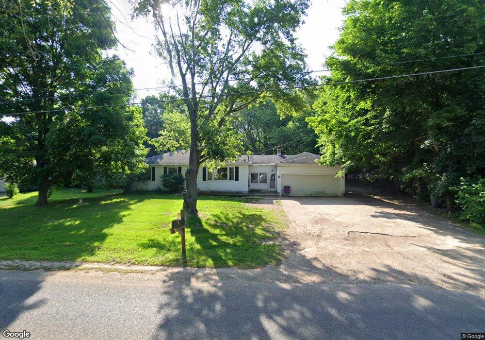
10636 N 6th St Otsego, MI 49078
Estimated Value: $199,875 - $251,000
3
Beds
1
Bath
1,396
Sq Ft
$164/Sq Ft
Est. Value
About This Home
This home is located at 10636 N 6th St, Otsego, MI 49078 and is currently estimated at $228,969, approximately $164 per square foot. 10636 N 6th St is a home located in Kalamazoo County with nearby schools including Otsego High School, St. Margaret School, and Otsego Christian Academy.
Ownership History
Date
Name
Owned For
Owner Type
Purchase Details
Closed on
Apr 2, 2007
Sold by
Wilson Jeremy R and Wilson Lorrie M
Bought by
Wilson Jeremy R and Wilson Sasha M
Current Estimated Value
Home Financials for this Owner
Home Financials are based on the most recent Mortgage that was taken out on this home.
Original Mortgage
$134,405
Outstanding Balance
$81,488
Interest Rate
6.2%
Mortgage Type
Stand Alone Refi Refinance Of Original Loan
Estimated Equity
$147,481
Purchase Details
Closed on
Nov 1, 2002
Sold by
Gernaat Allan J
Bought by
Wilson Jeremy R and Wilson Lorrie M
Home Financials for this Owner
Home Financials are based on the most recent Mortgage that was taken out on this home.
Original Mortgage
$120,051
Interest Rate
6.1%
Mortgage Type
FHA
Create a Home Valuation Report for This Property
The Home Valuation Report is an in-depth analysis detailing your home's value as well as a comparison with similar homes in the area
Purchase History
| Date | Buyer | Sale Price | Title Company |
|---|---|---|---|
| Wilson Jeremy R | -- | Devon Title | |
| Wilson Jeremy R | -- | Chicago Title |
Source: Public Records
Mortgage History
| Date | Status | Borrower | Loan Amount |
|---|---|---|---|
| Open | Wilson Jeremy R | $134,405 | |
| Closed | Wilson Jeremy R | $120,051 |
Source: Public Records
Tax History
| Year | Tax Paid | Tax Assessment Tax Assessment Total Assessment is a certain percentage of the fair market value that is determined by local assessors to be the total taxable value of land and additions on the property. | Land | Improvement |
|---|---|---|---|---|
| 2025 | $658 | $86,700 | $0 | $0 |
| 2024 | $563 | $84,500 | $0 | $0 |
| 2023 | $563 | $72,800 | $0 | $0 |
| 2021 | $563 | $63,600 | $0 | $0 |
| 2020 | $1,043 | $63,500 | $0 | $0 |
| 2019 | $1,537 | $52,500 | $0 | $0 |
| 2018 | $0 | $56,600 | $0 | $0 |
| 2017 | $0 | $56,600 | $0 | $0 |
| 2016 | -- | $50,100 | $0 | $0 |
| 2015 | -- | $49,600 | $0 | $0 |
| 2014 | -- | $47,100 | $0 | $0 |
Source: Public Records
Map
Nearby Homes
- 1644 Aspen Trail
- 1648 Aspen Trail
- 1660 Aspen Trail
- 1674 Aspen Trail
- 1667 Aspen Trail
- 5747 W B Ave
- 7558 W D Ave
- 1607 Elm St
- 1013 Barton St
- 1009 Barton St
- 2112 101st Ave
- 1224 102nd Ave
- 0 Briarwood St Unit 25002251
- 6501 Knights Way
- 909 Barton St
- 323 13th St
- 6250 Medford Way
- 1794 Ariel Dr Unit 11
- 8260 Earls Ct
- 1161 102nd Ave
Your Personal Tour Guide
Ask me questions while you tour the home.