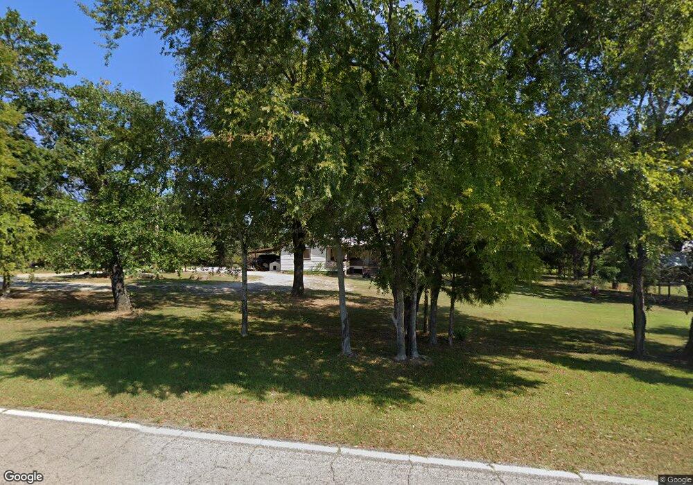
106361 State Highway 64b Sallisaw, OK 74955
Estimated Value: $111,000 - $185,000
3
Beds
1
Bath
1,524
Sq Ft
$101/Sq Ft
Est. Value
About This Home
This home is located at 106361 State Highway 64b, Sallisaw, OK 74955 and is currently estimated at $154,646, approximately $101 per square foot. 106361 State Highway 64b is a home with nearby schools including Muldrow Elementary School, Muldrow Middle School, and Muldrow High School.
Ownership History
Date
Name
Owned For
Owner Type
Purchase Details
Closed on
Jul 16, 2021
Sold by
Ferrari Kenneth E and Ferrari Martha V
Bought by
Sells Brande and Sells Dallas
Current Estimated Value
Home Financials for this Owner
Home Financials are based on the most recent Mortgage that was taken out on this home.
Original Mortgage
$20,000
Outstanding Balance
$10,868
Interest Rate
2.22%
Estimated Equity
$143,778
Create a Home Valuation Report for This Property
The Home Valuation Report is an in-depth analysis detailing your home's value as well as a comparison with similar homes in the area
Home Values in the Area
Average Home Value in this Area
Purchase History
| Date | Buyer | Sale Price | Title Company |
|---|---|---|---|
| Sells Brande | $85,000 | Valley Land Title Co Inc |
Source: Public Records
Mortgage History
| Date | Status | Borrower | Loan Amount |
|---|---|---|---|
| Open | Sells Brande | $20,000 | |
| Open | Sells Brande | $71,644 |
Source: Public Records
Tax History Compared to Growth
Tax History
| Year | Tax Paid | Tax Assessment Tax Assessment Total Assessment is a certain percentage of the fair market value that is determined by local assessors to be the total taxable value of land and additions on the property. | Land | Improvement |
|---|---|---|---|---|
| 2024 | $769 | $10,308 | $849 | $9,459 |
| 2023 | $732 | $9,817 | $840 | $8,977 |
| 2022 | $664 | $9,350 | $800 | $8,550 |
| 2021 | $624 | $9,867 | $880 | $8,987 |
| 2020 | $594 | $8,366 | $731 | $7,635 |
| 2019 | $566 | $7,967 | $691 | $7,276 |
| 2018 | $539 | $7,588 | $649 | $6,939 |
| 2017 | $452 | $7,366 | $613 | $6,753 |
| 2016 | $437 | $7,152 | $587 | $6,565 |
| 2015 | $422 | $6,944 | $560 | $6,384 |
| 2014 | $408 | $6,742 | $495 | $6,247 |
Source: Public Records
Map
Nearby Homes
- 105629 S 4730 Rd
- TBD S 4727 Rd
- 106214 S 4720 Rd
- 106078 S 4715 Rd
- 471804 E 1070 Rd
- 107774 S 4720
- 103941 S 4730 Rd
- 103891 Oklahoma 64b
- 106438 S 4757 Rd
- 475745 E 1083 Rd
- 108412 S 4720 Rd
- 471703 E 1083 Rd
- 106219 S 4757 Rd
- 105750 S 4700 Rd
- 104660 S 4760 Rd
- 605 S 9th St
- TBD Tbd
- 104 Free Ferry
- 109651 S 4720 Rd
- 469517 E 1060 Rd
- 106429 State Highway 64b
- 106464 State Highway 64b
- 0 Hwy 64 B Rd Unit 1714291
- 0 Hwy 64 B Rd Unit 1740365
- 0 Hwy 64 B Rd Unit 1806212
- 106106 State Highway 64b
- 106202 State Highway 64b
- 0 E 1060 Rd
- 106349 State Highway 64b
- 106651 State Highway 64b
- 106004 State Highway 64b
- 472914 E 1065 Rd
- 106707 State Highway 64b
- 106072 State Highway 64b
- 472284 E 1065 Rd
- 106710 State Highway 64b
- 106553 S 4727 Rd
- 106001 State Highway 64b
- n/a S 4727 Rd
- 104290 S 4739 Rd