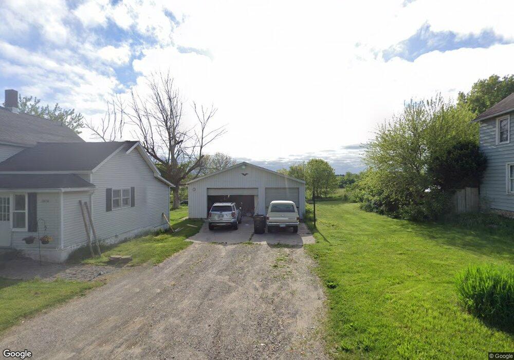
10638 Wilson Ave SW Byron Center, MI 49315
Estimated Value: $296,837 - $410,000
3
Beds
1
Bath
1,220
Sq Ft
$291/Sq Ft
Est. Value
About This Home
This home is located at 10638 Wilson Ave SW, Byron Center, MI 49315 and is currently estimated at $354,709, approximately $290 per square foot. 10638 Wilson Ave SW is a home located in Kent County with nearby schools including Robert L. Nickels Intermediate School, Brown Elementary School, and Byron Center West Middle School.
Ownership History
Date
Name
Owned For
Owner Type
Purchase Details
Closed on
Sep 16, 2021
Sold by
Langeweg Michael J
Bought by
Taylor Richard
Current Estimated Value
Home Financials for this Owner
Home Financials are based on the most recent Mortgage that was taken out on this home.
Original Mortgage
$57,166
Outstanding Balance
$51,939
Interest Rate
2.7%
Mortgage Type
FHA
Estimated Equity
$302,770
Create a Home Valuation Report for This Property
The Home Valuation Report is an in-depth analysis detailing your home's value as well as a comparison with similar homes in the area
Home Values in the Area
Average Home Value in this Area
Purchase History
| Date | Buyer | Sale Price | Title Company |
|---|---|---|---|
| Taylor Richard | $70,000 | None Listed On Document |
Source: Public Records
Mortgage History
| Date | Status | Borrower | Loan Amount |
|---|---|---|---|
| Open | Taylor Richard | $57,166 |
Source: Public Records
Tax History Compared to Growth
Tax History
| Year | Tax Paid | Tax Assessment Tax Assessment Total Assessment is a certain percentage of the fair market value that is determined by local assessors to be the total taxable value of land and additions on the property. | Land | Improvement |
|---|---|---|---|---|
| 2025 | $1,891 | $121,800 | $0 | $0 |
| 2024 | $1,891 | $112,900 | $0 | $0 |
| 2023 | $1,809 | $97,400 | $0 | $0 |
| 2022 | $2,521 | $81,000 | $0 | $0 |
| 2021 | $1,947 | $77,000 | $0 | $0 |
| 2020 | $1,455 | $71,400 | $0 | $0 |
| 2019 | $2,318 | $67,200 | $0 | $0 |
| 2018 | $2,240 | $62,700 | $18,700 | $44,000 |
| 2017 | $2,192 | $57,200 | $0 | $0 |
| 2016 | $2,147 | $54,300 | $0 | $0 |
| 2015 | $2,129 | $54,300 | $0 | $0 |
| 2013 | -- | $48,000 | $0 | $0 |
Source: Public Records
Map
Nearby Homes
- 10725 Windward Ave SW
- 10711 Windward Ave SW
- 10785 Windward Ave SW
- 10780 Windward Ave SW
- V/L Ivanrest Ave SW
- 312 Ottogan Hills Ct
- 3370 92nd St SW
- 3410 92nd St SW
- 9277 Ivanrest Ave SW
- 10591 Byron Center Ave SW
- 136 100th St SW
- 737 100th St SW
- 9705 Byron Center Ave SW
- 402 Ottogan Hills Ct
- 2599 Ridge Top Dr SW
- 8549 Eldora Dr SW
- 3152 84th St SW
- 2156 Center Grange Dr
- 8564 Elkwood Dr SW
- 8541 Woodhaven Dr SW
- 10622 Wilson Ave SW
- 10656 Wilson Ave SW
- 10606 Wilson Ave SW
- 10676 Wilson Ave SW
- 10633 Wilson Ave SW
- 10580 Wilson Ave SW
- 10716 Wilson Ave SW
- 10661 Wilson Ave SW
- 10730 Wilson Ave SW
- Parcel F Windward Ave SW
- 10542 Wilson Ave SW
- Parcel G Windward Ave SW
- 10748 Wilson Ave SW
- 10749 Wilson Ave SW
- 10754 Wilson Ave SW
- 10575 Wilson Ave SW
- 10777 Wilson Ave SW
- 10764 Wilson Ave SW
- 10533 Wilson Ave SW
- 4055 108th St SW