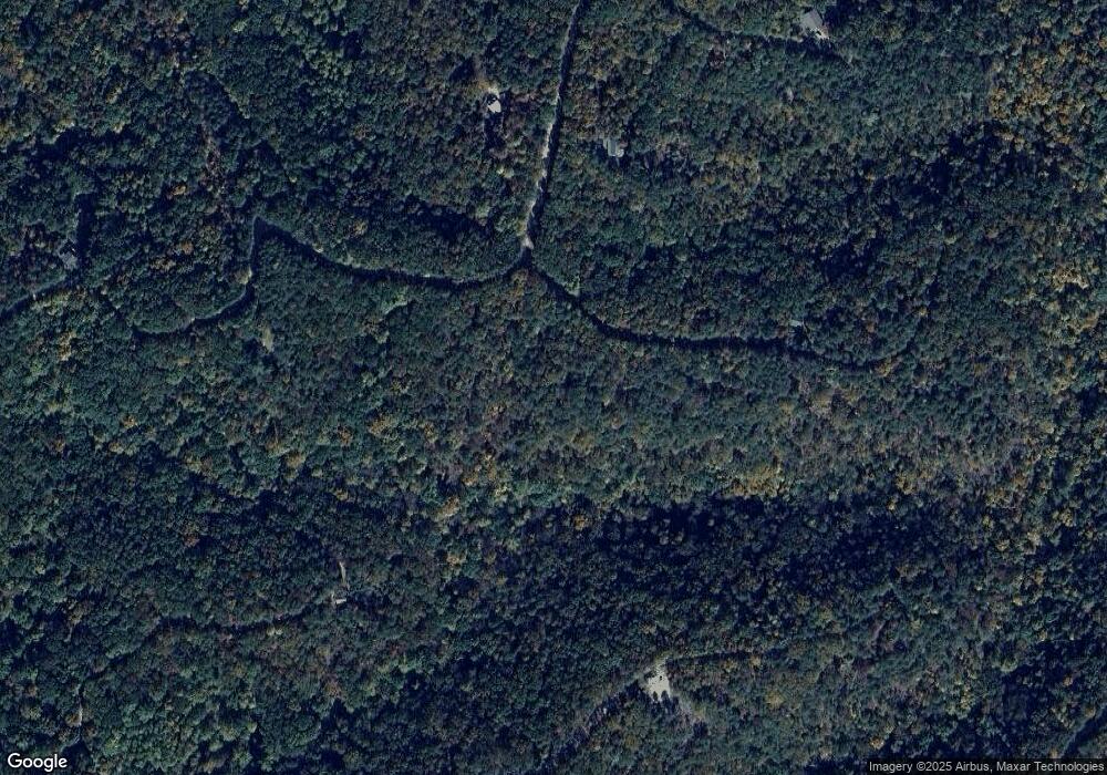
1064 Mayfield Ln NE Ranger, GA 30734
Estimated Value: $57,000 - $100,154
--
Bed
--
Bath
--
Sq Ft
1.95
Acres
About This Home
This home is located at 1064 Mayfield Ln NE, Ranger, GA 30734 and is currently estimated at $78,577. 1064 Mayfield Ln NE is a home located in Gordon County with nearby schools including Fairmount Elementary School, Red Bud Middle School, and Sonoraville High School.
Ownership History
Date
Name
Owned For
Owner Type
Purchase Details
Closed on
Oct 7, 2005
Sold by
Talking Rock Partners Llc
Bought by
Brown Walter and Brown Adrienne
Current Estimated Value
Home Financials for this Owner
Home Financials are based on the most recent Mortgage that was taken out on this home.
Original Mortgage
$35,456
Interest Rate
5.66%
Mortgage Type
New Conventional
Purchase Details
Closed on
May 17, 2004
Sold by
Flint Timber Lp
Bought by
Talking Rock Partners Llc
Purchase Details
Closed on
May 24, 2002
Sold by
Farm And Home Life Ins Co
Bought by
Flint Timber Lp
Purchase Details
Closed on
Mar 10, 1993
Bought by
Farm And Home Life Ins Co
Create a Home Valuation Report for This Property
The Home Valuation Report is an in-depth analysis detailing your home's value as well as a comparison with similar homes in the area
Home Values in the Area
Average Home Value in this Area
Purchase History
| Date | Buyer | Sale Price | Title Company |
|---|---|---|---|
| Brown Walter | $39,200 | -- | |
| Talking Rock Partners Llc | -- | -- | |
| Flint Timber Lp | -- | -- | |
| Farm And Home Life Ins Co | -- | -- |
Source: Public Records
Mortgage History
| Date | Status | Borrower | Loan Amount |
|---|---|---|---|
| Closed | Brown Walter | $35,456 |
Source: Public Records
Tax History Compared to Growth
Tax History
| Year | Tax Paid | Tax Assessment Tax Assessment Total Assessment is a certain percentage of the fair market value that is determined by local assessors to be the total taxable value of land and additions on the property. | Land | Improvement |
|---|---|---|---|---|
| 2024 | $67 | $2,640 | $2,640 | $0 |
| 2023 | $64 | $2,520 | $2,520 | $0 |
| 2022 | $65 | $2,400 | $2,400 | $0 |
| 2021 | $67 | $2,400 | $2,400 | $0 |
| 2020 | $69 | $2,400 | $2,400 | $0 |
| 2019 | $69 | $2,400 | $2,400 | $0 |
| 2018 | $69 | $2,400 | $2,400 | $0 |
| 2017 | $71 | $2,400 | $2,400 | $0 |
| 2016 | $50 | $1,680 | $1,680 | $0 |
| 2015 | $50 | $1,680 | $1,680 | $0 |
| 2014 | $50 | $1,700 | $1,700 | $0 |
Source: Public Records
Map
Nearby Homes
- 1063 Mayfield Ln NE
- 1005 Mayfield Ln NE
- 1059 Mayfield Ln NE
- 1057 Mayfield Ln NE
- 1200 Jewel Ct NE
- 1176 Jewel Ct NE
- 1206 Jewel Ct NE
- 1231 Crown Ct
- 1233 Crown Ct
- Lt 1227 Hilton Dr Unit 1227
- 1219 Hilton Dr
- 1099 Hilton Dr
- Lt 1227 Hilton Dr
- 1218 Hilton Dr
- 1071 Mayfield Ln NE
- 1400 Foxhound Trail NE
- 1275 Foxhound Trail NE
- 1401 Foxhound Trail NE
- 1379 Foxhound Trail NE
- 1405 Foxhound Trail NE
- 1065 Mayfield Ln NE
- 1044 Raccoon Ridge NE
- 1049 Mayfield Ln NE
- 1050 Mayfield Ln NE
- 1044 Raccoon Ridge Rd
- 1104 Mayfield Ln NE
- 1002 Raccoon Ridge NE
- 1226 Hilton Dr
- 1105 Mayfield Ln NE
- 1105 Mayfield Ln NE
- 1043 Raccoon Ridge NE
- 1043 Raccoon Ridge Rd NE
- 1001 Racoon Ridge Rd Unit 1000, 1001
- 1001 Racoon Ridge
- 1197 Jewel Ct NE
- 1198 Jewel Ct NE
- 1186 Jewel Ct NE
- 1193 Jewel Ct NE
- 1207 Jewel Ct NE
- 1067 Mayfield Ln NE
