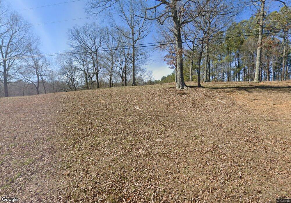
1064 Mineral Springs Rd S Jasper, GA 30143
Estimated Value: $197,542 - $1,180,000
--
Bed
3
Baths
1,232
Sq Ft
$424/Sq Ft
Est. Value
About This Home
This home is located at 1064 Mineral Springs Rd S, Jasper, GA 30143 and is currently estimated at $522,636, approximately $424 per square foot. 1064 Mineral Springs Rd S is a home located in Pickens County with nearby schools including Harmony Elementary School, Pickens County Middle School, and Pickens County High School.
Ownership History
Date
Name
Owned For
Owner Type
Purchase Details
Closed on
Apr 25, 2017
Sold by
Easterwood Thomas
Bought by
W Bar M Partners Llc
Current Estimated Value
Purchase Details
Closed on
Jun 27, 2008
Sold by
Not Provided
Bought by
Easterwood Lynn and Easterwood Thomas
Home Financials for this Owner
Home Financials are based on the most recent Mortgage that was taken out on this home.
Original Mortgage
$137,000
Interest Rate
6.08%
Mortgage Type
New Conventional
Purchase Details
Closed on
Dec 23, 2002
Sold by
Easterwood Lynn and Easterwood Thomas
Bought by
Easterwood Lynn
Purchase Details
Closed on
Apr 3, 1991
Sold by
Robinson Curtis
Bought by
Easterwood Thomas B and Easterwood Lynn
Purchase Details
Closed on
Sep 26, 1990
Bought by
Robinson Curtis
Create a Home Valuation Report for This Property
The Home Valuation Report is an in-depth analysis detailing your home's value as well as a comparison with similar homes in the area
Home Values in the Area
Average Home Value in this Area
Purchase History
| Date | Buyer | Sale Price | Title Company |
|---|---|---|---|
| W Bar M Partners Llc | $96,434 | -- | |
| Easterwood Lynn | -- | -- | |
| Easterwood Lynn | -- | -- | |
| Easterwood Thomas B | -- | -- | |
| Robinson Curtis | -- | -- |
Source: Public Records
Mortgage History
| Date | Status | Borrower | Loan Amount |
|---|---|---|---|
| Previous Owner | Easterwood Lynn | $137,000 |
Source: Public Records
Tax History Compared to Growth
Tax History
| Year | Tax Paid | Tax Assessment Tax Assessment Total Assessment is a certain percentage of the fair market value that is determined by local assessors to be the total taxable value of land and additions on the property. | Land | Improvement |
|---|---|---|---|---|
| 2024 | $402 | $20,316 | $20,316 | $0 |
| 2023 | $413 | $20,316 | $20,316 | $0 |
| 2022 | $413 | $20,316 | $20,316 | $0 |
| 2021 | $443 | $20,316 | $20,316 | $0 |
| 2020 | $456 | $20,316 | $20,316 | $0 |
| 2019 | $466 | $20,316 | $20,316 | $0 |
| 2018 | $1,194 | $51,500 | $8,324 | $43,176 |
| 2017 | $1,095 | $51,500 | $8,324 | $43,176 |
| 2016 | $1,105 | $51,179 | $8,003 | $43,176 |
| 2015 | $1,079 | $51,179 | $8,003 | $43,176 |
| 2014 | $1,082 | $51,179 | $8,003 | $43,176 |
| 2013 | -- | $51,179 | $8,003 | $43,176 |
Source: Public Records
Map
Nearby Homes
- 0 Talc Mine Rd Unit 10502934
- 0 Talc Mine Rd Unit 7558124
- 0 Hawthorne Hill Rd Unit 7637290
- 2135 Salem Church Rd
- 175 Sleepy Hollow Trail
- 1402 Henderson Mountain Rd
- Lot 9 Bethany Rd
- 396 Plum Ln
- 0 Salem Church Rd Unit 7541070
- 603 Cutoff Rd
- 99 Ambrose Dr
- 96 Moorings Run
- 16 Jordans Park Trail
- 40 Emerald Creek Ct
- 12 Moorings Run
- 106 Saddle Ridge Trail
- 435 Grand Cir
- 75 Emerald Creek Dr
- 548 Stoneledge Rd
- 0 Talc Mine Rd
- 00 Talc Mine Rd
- 0 Talc Mine Rd Unit 20117154
- 0 Talc Mine Rd Unit 3166683
- 0 Talc Mine Rd Unit 8674298
- 0 Talc Mine Rd Unit 8442481
- 0 Talc Mine Rd Unit 8202790
- 0 Talc Mine Rd Unit 7551245
- 0 Talc Mine Rd Unit 8018668
- 0 Talc Mine Rd Unit 7571719
- 0 Talc Mine Rd Unit 7362897
- 0 Talc Mine Rd Unit 7534357
- 0 Talc Mine Rd Unit 3016969
- 0 Talc Mine Rd Unit 7508603
- 0 Talc Mine Rd Unit 8519972
- 1164 Mineral Springs Rd S
- 62 Talc Mine Rd
- 38 Talc Mine Rd
- 145 Talc Mine Rd
- 411 Antebellum Ave
