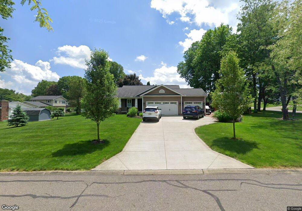
1064 Northcrest Dr New Franklin, OH 44319
Estimated Value: $241,000 - $316,728
3
Beds
2
Baths
1,442
Sq Ft
$186/Sq Ft
Est. Value
About This Home
This home is located at 1064 Northcrest Dr, New Franklin, OH 44319 and is currently estimated at $268,432, approximately $186 per square foot. 1064 Northcrest Dr is a home with nearby schools including Nolley Elementary School, Manchester Middle School, and Manchester High School.
Ownership History
Date
Name
Owned For
Owner Type
Purchase Details
Closed on
Dec 16, 2020
Sold by
Gless Deborah A and Gless Robert L
Bought by
Gless Robert L and Gless Debra A
Current Estimated Value
Purchase Details
Closed on
Dec 11, 2020
Sold by
Gless Robert L and Gless Debra A
Bought by
Gless Robert L and Gless Debra A
Purchase Details
Closed on
Dec 30, 2013
Sold by
Eaken Edward W
Bought by
Gless Robert L and Gless Deborah A
Create a Home Valuation Report for This Property
The Home Valuation Report is an in-depth analysis detailing your home's value as well as a comparison with similar homes in the area
Home Values in the Area
Average Home Value in this Area
Purchase History
| Date | Buyer | Sale Price | Title Company |
|---|---|---|---|
| Gless Robert L | -- | None Listed On Document | |
| Gless Robert L | -- | None Available | |
| Gless Robert L | $21,000 | None Available |
Source: Public Records
Tax History Compared to Growth
Tax History
| Year | Tax Paid | Tax Assessment Tax Assessment Total Assessment is a certain percentage of the fair market value that is determined by local assessors to be the total taxable value of land and additions on the property. | Land | Improvement |
|---|---|---|---|---|
| 2025 | $5,089 | $87,500 | $16,408 | $71,092 |
| 2024 | $5,089 | $100,314 | $16,408 | $83,906 |
| 2023 | $5,089 | $100,314 | $16,408 | $83,906 |
| 2022 | $4,254 | $65,139 | $10,654 | $54,485 |
| 2021 | $4,269 | $65,139 | $10,654 | $54,485 |
| 2020 | $4,197 | $65,140 | $10,650 | $54,490 |
| 2019 | $5,041 | $70,360 | $10,260 | $60,100 |
| 2018 | $4,360 | $70,360 | $10,260 | $60,100 |
| 2017 | $5,342 | $70,360 | $10,260 | $60,100 |
| 2016 | $5,149 | $76,450 | $10,260 | $66,190 |
| 2015 | $5,342 | $76,450 | $10,260 | $66,190 |
| 2014 | $446 | $5,220 | $5,220 | $0 |
| 2013 | $512 | $6,150 | $6,150 | $0 |
Source: Public Records
Map
Nearby Homes
- 4698 Manchester Rd
- 1343 Vermillion Dr
- 0 W Turkeyfoot Lake Rd Unit 5157637
- 4944 Coleman Dr
- 4393 Hilltop Dr
- 4869 Coleman Dr
- 4216 State Rd
- 410 Silk Ct
- 715 Highland Park Dr
- 538 Melcher Ave
- 4131 State Park Dr
- 4034 Manchester Rd
- lot 8 Whyem Dr
- 4119 Melton Ave
- S/L 14,15 Shakes Hotel Dr
- 1742 Turkeyfoot Lake Rd
- 855 Fowler Ave
- 715 Jolson Ave
- 3826 Powell Ave
- 4682 Bali Dr
- 4973 Pamela Dr
- 4942 Patricia Dr
- 4952 Patricia Dr
- 4981 Pamela Dr
- 4960 Pamela Dr Unit 4964
- 1061 Northcrest Dr
- 4982 Pamela Dr
- 1065 Northcrest Dr Unit 1067
- 1051 Northcrest Dr
- 4960 Patricia Dr
- 4978 Pamela Dr Unit 4982
- 4991 Pamela Dr
- 1045 Northcrest Dr
- 4948 Pamela Dr Unit 4952
- 4970 Patricia Dr
- 4988 Pamela Dr Unit 4990
- 4945 Patricia Dr
- 4994 Pamela Dr
- 4937 Patricia Dr
- 5001 Pamela Dr