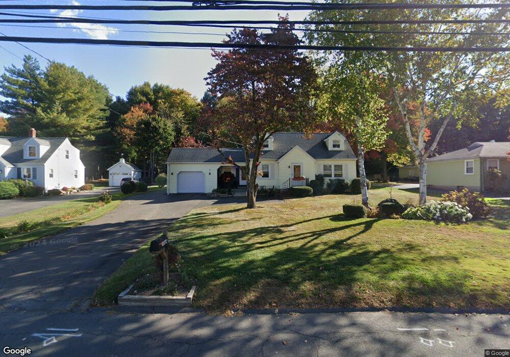
1064 Stafford Ave Bristol, CT 06010
North Bristol NeighborhoodEstimated Value: $335,000 - $378,000
3
Beds
2
Baths
1,609
Sq Ft
$220/Sq Ft
Est. Value
About This Home
This home is located at 1064 Stafford Ave, Bristol, CT 06010 and is currently estimated at $353,646, approximately $219 per square foot. 1064 Stafford Ave is a home located in Hartford County with nearby schools including Ivy Drive School, Northeast Middle School, and Bristol Eastern High School.
Ownership History
Date
Name
Owned For
Owner Type
Purchase Details
Closed on
Jul 13, 1983
Bought by
Demaria James H and Demaria Margaret
Current Estimated Value
Create a Home Valuation Report for This Property
The Home Valuation Report is an in-depth analysis detailing your home's value as well as a comparison with similar homes in the area
Home Values in the Area
Average Home Value in this Area
Purchase History
| Date | Buyer | Sale Price | Title Company |
|---|---|---|---|
| Demaria James H | -- | -- |
Source: Public Records
Mortgage History
| Date | Status | Borrower | Loan Amount |
|---|---|---|---|
| Closed | Demaria James H | $20,000 | |
| Open | Demaria James H | $111,000 | |
| Closed | Demaria James H | $39,000 | |
| Closed | Demaria James H | $74,100 |
Source: Public Records
Tax History Compared to Growth
Tax History
| Year | Tax Paid | Tax Assessment Tax Assessment Total Assessment is a certain percentage of the fair market value that is determined by local assessors to be the total taxable value of land and additions on the property. | Land | Improvement |
|---|---|---|---|---|
| 2025 | $5,679 | $168,280 | $42,420 | $125,860 |
| 2024 | $5,326 | $167,230 | $42,420 | $124,810 |
| 2023 | $5,075 | $167,230 | $42,420 | $124,810 |
| 2022 | $4,693 | $122,370 | $32,640 | $89,730 |
| 2021 | $4,693 | $122,370 | $32,640 | $89,730 |
| 2020 | $4,693 | $122,370 | $32,640 | $89,730 |
| 2019 | $4,656 | $122,370 | $32,630 | $89,740 |
| 2018 | $4,513 | $122,370 | $32,630 | $89,740 |
| 2017 | $4,461 | $123,800 | $40,570 | $83,230 |
| 2016 | $4,461 | $123,800 | $40,570 | $83,230 |
| 2015 | $4,285 | $123,800 | $40,570 | $83,230 |
| 2014 | $4,285 | $123,800 | $40,570 | $83,230 |
Source: Public Records
Map
Nearby Homes
- 84 Goshen Ct
- 40 Ohio Dr
- 90 Boardman St Unit A2
- 1325 Farmington Ave Unit 2
- 43 Hiltbrand Rd Unit 2-11
- 1469 Farmington Ave Unit 17
- 52 Barbara Rd
- 681 Stevens St
- 99 Driftwood Rd
- 81 Vincent Rd
- 42 Sandy Dr
- 20 Shawn Dr
- 99 Redwood Dr
- 58 Matilda Dr
- 16 Cherry Hill Dr
- 57 Juniper Rd
- 26 Cherry Hill Dr
- 76 Country Ln
- 36 Warner St
- 966 Jerome Ave
- 1074 Stafford Ave
- 1054 Stafford Ave
- 1084 Stafford Ave
- 1044 Stafford Ave
- 1096 Stafford Ave
- 1036 Stafford Ave
- 1102 Stafford Ave
- 1028 Stafford Ave
- 53 Deerfield Rd
- 45 Deerfield Rd
- 69 Deerfield Rd
- 61 Deerfield Rd
- 1108 Stafford Ave
- 77 Deerfield Rd
- 37 Deerfield Rd
- 1112 Stafford Ave
- 1018 Stafford Ave
- 85 Deerfield Rd
- 31 Deerfield Rd
- 93 Deerfield Rd