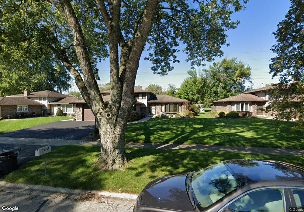
10642 S Michael Dr Palos Hills, IL 60465
Estimated Value: $303,000 - $394,000
3
Beds
2
Baths
1,454
Sq Ft
$246/Sq Ft
Est. Value
About This Home
This home is located at 10642 S Michael Dr, Palos Hills, IL 60465 and is currently estimated at $358,392, approximately $246 per square foot. 10642 S Michael Dr is a home located in Cook County with nearby schools including Sorrick Elementary School, Oak Ridge Elementary School, and H H Conrady Jr High School.
Ownership History
Date
Name
Owned For
Owner Type
Purchase Details
Closed on
Aug 30, 2010
Sold by
Hicks Glen A and Hicks Kathleen H
Bought by
Hicks Kathleen H and Kathleen H Hicks Trust
Current Estimated Value
Create a Home Valuation Report for This Property
The Home Valuation Report is an in-depth analysis detailing your home's value as well as a comparison with similar homes in the area
Home Values in the Area
Average Home Value in this Area
Purchase History
| Date | Buyer | Sale Price | Title Company |
|---|---|---|---|
| Hicks Kathleen H | -- | None Available |
Source: Public Records
Tax History Compared to Growth
Tax History
| Year | Tax Paid | Tax Assessment Tax Assessment Total Assessment is a certain percentage of the fair market value that is determined by local assessors to be the total taxable value of land and additions on the property. | Land | Improvement |
|---|---|---|---|---|
| 2024 | $6,366 | $28,000 | $6,598 | $21,402 |
| 2023 | $5,144 | $28,000 | $6,598 | $21,402 |
| 2022 | $5,144 | $20,253 | $5,747 | $14,506 |
| 2021 | $5,041 | $20,252 | $5,746 | $14,506 |
| 2020 | $5,077 | $20,252 | $5,746 | $14,506 |
| 2019 | $6,685 | $22,819 | $5,321 | $17,498 |
| 2018 | $6,433 | $22,819 | $5,321 | $17,498 |
| 2017 | $6,224 | $22,819 | $5,321 | $17,498 |
| 2016 | $6,169 | $20,355 | $4,682 | $15,673 |
| 2015 | $6,040 | $20,355 | $4,682 | $15,673 |
| 2014 | $5,950 | $20,355 | $4,682 | $15,673 |
| 2013 | $5,858 | $21,322 | $4,682 | $16,640 |
Source: Public Records
Map
Nearby Homes
- 10531 S Roberts Rd Unit 2D
- 10409 Sheffield Dr Unit 13
- 10440 S 75th Ct
- 10820 Kathleen Ct Unit D
- 10300 S Kathy Ct
- 7357 W 109th St
- 10926 Circle Ct
- 7810 W 102nd St
- 10927 Circle Dr
- 7801 W 111th St
- 8057 Valley Dr
- 10233 Concord Ln Unit C
- 11050 S Roberts Rd
- 10324 S 81st Ave
- 7420 W 111th St Unit 501
- 10225 Camden Ln Unit K
- 7434 W 111th St Unit 812
- 7402 W 111th St Unit 111
- 10226 S 81st Ave
- 7213 W 109th St
- 10636 S Michael Dr
- 10656 S Michael Dr
- 10630 S Michael Dr
- 10643 S Michael Dr
- 10637 S Michael Dr
- 10624 S Michael Dr
- 7800 W 107th St
- 10649 S Michael Dr
- 10631 S Michael Dr
- 10655 S Michael Dr
- 10625 S Michael Dr
- 10618 S Michael Dr
- 10619 S Michael Dr
- 7726 W 107th St
- 10642 S Terry Dr
- 10636 S Terry Dr
- 10612 S Michael Dr
- 10648 S Terry Dr
- 10630 S Terry Dr
- 10613 S Michael Dr