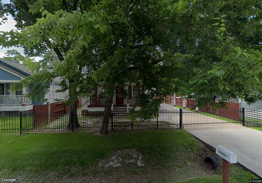
10642 Somerset Ln Houston, TX 77093
Eastex-Jensen NeighborhoodEstimated Value: $189,000 - $239,000
3
Beds
2
Baths
1,196
Sq Ft
$182/Sq Ft
Est. Value
About This Home
This home is located at 10642 Somerset Ln, Houston, TX 77093 and is currently estimated at $217,116, approximately $181 per square foot. 10642 Somerset Ln is a home located in Harris County with nearby schools including Coop Elementary School, Patrick Henry Middle School, and Sam Houston Math, Science & Technology Center.
Ownership History
Date
Name
Owned For
Owner Type
Purchase Details
Closed on
Oct 2, 2008
Sold by
Abaco Concrete Construction Inc
Bought by
Perales Jose Alfredo and Perales Laura
Current Estimated Value
Home Financials for this Owner
Home Financials are based on the most recent Mortgage that was taken out on this home.
Original Mortgage
$88,000
Outstanding Balance
$58,293
Interest Rate
6.35%
Mortgage Type
Purchase Money Mortgage
Estimated Equity
$158,823
Create a Home Valuation Report for This Property
The Home Valuation Report is an in-depth analysis detailing your home's value as well as a comparison with similar homes in the area
Home Values in the Area
Average Home Value in this Area
Purchase History
| Date | Buyer | Sale Price | Title Company |
|---|---|---|---|
| Perales Jose Alfredo | -- | First American Title |
Source: Public Records
Mortgage History
| Date | Status | Borrower | Loan Amount |
|---|---|---|---|
| Open | Perales Jose Alfredo | $88,000 |
Source: Public Records
Tax History Compared to Growth
Tax History
| Year | Tax Paid | Tax Assessment Tax Assessment Total Assessment is a certain percentage of the fair market value that is determined by local assessors to be the total taxable value of land and additions on the property. | Land | Improvement |
|---|---|---|---|---|
| 2025 | $1,963 | $158,831 | $52,887 | $105,944 |
| 2024 | $1,963 | $208,558 | $49,533 | $159,025 |
| 2023 | $1,963 | $174,961 | $38,698 | $136,263 |
| 2022 | $3,073 | $142,918 | $32,248 | $110,670 |
| 2021 | $2,957 | $127,642 | $23,219 | $104,423 |
| 2020 | $2,793 | $115,323 | $23,219 | $92,104 |
| 2019 | $2,918 | $115,323 | $21,499 | $93,824 |
| 2018 | $2,044 | $115,323 | $21,499 | $93,824 |
| 2017 | $2,916 | $115,323 | $21,499 | $93,824 |
| 2016 | $2,916 | $115,323 | $21,499 | $93,824 |
| 2015 | $1,864 | $115,323 | $21,499 | $93,824 |
| 2014 | $1,864 | $98,873 | $21,499 | $77,374 |
Source: Public Records
Map
Nearby Homes
- 2315 Langley Rd
- 2636 Lone Oak Rd
- 1728 Little York Rd
- 2332 Margaret St
- 2415 Goodloe St
- 2629 Kowis St
- 1904 Little York Rd
- 2122 Kowis St
- 2152 William Tell St
- 2817 Cromwell St
- 1908 Little York Rd
- 2318 Cresline St
- 2237 Cromwell St
- 1829 Skinner Rd
- 10512 Exeter St
- 10514 Exeter St
- 2311 Warwick Rd
- 4918 Langley Rd
- 2131 Cromwell St Unit D
- 2633 Hollis St
- 10644 Somerset Ln
- 10640 Somerset Ln
- 2610 Pine Tree Dr
- 2440 Pinetree
- 10646 Somerset Ln
- 2538 Pine Tree Dr
- 2601 Hardwood Ln
- 2618 Pine Tree Dr
- 10631 Somerset Ln
- 2611 Hardwood Ln
- 2617 Hardwood Ln
- 2527 Hardwood Ln
- 2626 Pine Tree Dr
- 2525 Hardwood Ln
- 2603 Pine Tree Dr
- 2625 Hardwood Ln
- 2520 Pine Tree Dr
- 2619 Pine Tree Dr
- 2611 Pine Tree Dr
- 2529 Pine Tree Dr