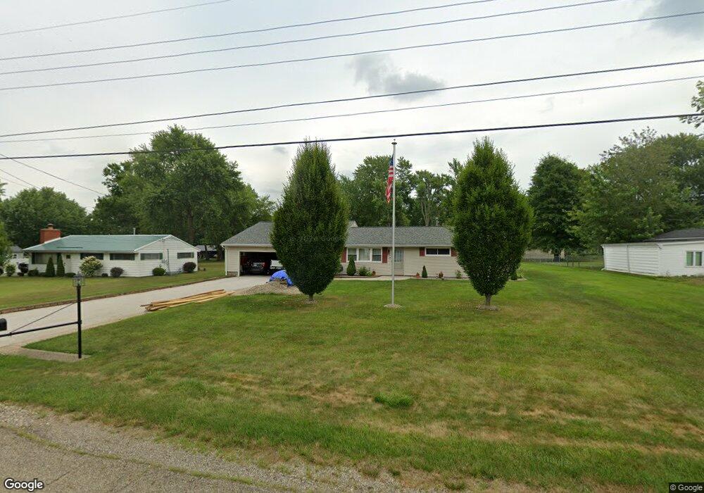
10644 Dot Ave NE Alliance, OH 44601
Estimated Value: $204,000 - $299,000
3
Beds
1
Bath
1,800
Sq Ft
$135/Sq Ft
Est. Value
About This Home
This home is located at 10644 Dot Ave NE, Alliance, OH 44601 and is currently estimated at $243,576, approximately $135 per square foot. 10644 Dot Ave NE is a home located in Stark County with nearby schools including Marlington High School and Regina Coeli/St Joseph School.
Ownership History
Date
Name
Owned For
Owner Type
Purchase Details
Closed on
Dec 11, 2003
Sold by
Penrod Nora E
Bought by
Penrod John C
Current Estimated Value
Purchase Details
Closed on
Nov 6, 2000
Sold by
Penrod Nora E
Bought by
Penrod John C
Home Financials for this Owner
Home Financials are based on the most recent Mortgage that was taken out on this home.
Original Mortgage
$90,000
Outstanding Balance
$33,140
Interest Rate
7.87%
Mortgage Type
Purchase Money Mortgage
Estimated Equity
$210,436
Purchase Details
Closed on
May 19, 1989
Create a Home Valuation Report for This Property
The Home Valuation Report is an in-depth analysis detailing your home's value as well as a comparison with similar homes in the area
Home Values in the Area
Average Home Value in this Area
Purchase History
| Date | Buyer | Sale Price | Title Company |
|---|---|---|---|
| Penrod John C | -- | -- | |
| Penrod John C | -- | Union Title Company | |
| -- | $37,500 | -- |
Source: Public Records
Mortgage History
| Date | Status | Borrower | Loan Amount |
|---|---|---|---|
| Open | Penrod John C | $90,000 |
Source: Public Records
Tax History Compared to Growth
Tax History
| Year | Tax Paid | Tax Assessment Tax Assessment Total Assessment is a certain percentage of the fair market value that is determined by local assessors to be the total taxable value of land and additions on the property. | Land | Improvement |
|---|---|---|---|---|
| 2025 | -- | $64,340 | $21,880 | $42,460 |
| 2024 | -- | $64,340 | $21,880 | $42,460 |
| 2023 | $1,339 | $47,180 | $11,620 | $35,560 |
| 2022 | $1,667 | $47,180 | $11,620 | $35,560 |
| 2021 | $1,673 | $47,180 | $11,620 | $35,560 |
| 2020 | $1,589 | $39,940 | $10,010 | $29,930 |
| 2019 | $1,578 | $39,940 | $10,010 | $29,930 |
| 2018 | $1,580 | $39,940 | $10,010 | $29,930 |
| 2017 | $1,549 | $36,650 | $9,520 | $27,130 |
| 2016 | $1,479 | $34,970 | $9,520 | $25,450 |
| 2015 | $1,408 | $34,970 | $9,520 | $25,450 |
| 2014 | $1,285 | $29,160 | $7,950 | $21,210 |
| 2013 | $639 | $29,160 | $7,950 | $21,210 |
Source: Public Records
Map
Nearby Homes
- 10666 Wilma Ave NE
- 13334 Cindy St NE
- 0 Meadow St NE
- 11960 Freshley Ave NE
- 12355 Edison St NE
- 11480 Aebi Ave NE
- 0 W Main St Unit 5090123
- 1430 Westwood Ave
- 13109 Edison St NE
- 2081 Marwood Cir
- 12252 Snode St NE
- 2377 Ansley St Unit 2377
- 12415 Snode St NE
- 0 Reeder Ave NE
- 000 Klinger Ave
- 0 Klinger Ave NE
- 432 Johnson Ave
- 14422 Sturbridge Rd NE
- 0 Johnson Ave NE Unit 5142926
- 1201 Overlook Dr
- 10626 Dot Ave NE
- 10666 Dot Ave NE
- 10684 Dot Ave NE
- 10606 Dot Ave NE
- 10665 Barcus Ave NE
- 10625 Barcus Ave NE
- 10645 Dot Ave NE
- 10625 Dot Ave NE
- 10665 Dot Ave NE
- 10685 Barcus Ave NE
- 10605 Barcus Ave NE
- 10702 Dot Ave NE
- 10588 Dot Ave NE
- 10605 Dot Ave NE
- 10685 Dot Ave NE
- 10705 Barcus Ave NE
- 10585 Barcus Ave NE
- 10585 Dot Ave NE
- 10705 Dot Ave NE
- 10722 Dot Ave NE