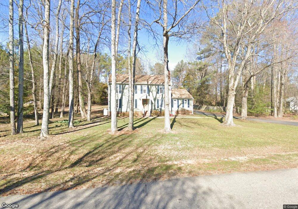
10648 Ramshorn Rd Midlothian, VA 23113
Huguenot NeighborhoodEstimated Value: $540,000 - $593,958
5
Beds
4
Baths
2,545
Sq Ft
$225/Sq Ft
Est. Value
About This Home
This home is located at 10648 Ramshorn Rd, Midlothian, VA 23113 and is currently estimated at $573,740, approximately $225 per square foot. 10648 Ramshorn Rd is a home located in Richmond City with nearby schools including Robious Elementary School, Robious Middle School, and James River High School.
Ownership History
Date
Name
Owned For
Owner Type
Purchase Details
Closed on
Apr 16, 2002
Bought by
Witthoefft Ann M and Witthoefft Martin H
Current Estimated Value
Home Financials for this Owner
Home Financials are based on the most recent Mortgage that was taken out on this home.
Original Mortgage
$29,700
Outstanding Balance
$12,338
Interest Rate
6.84%
Mortgage Type
New Conventional
Estimated Equity
$561,402
Purchase Details
Closed on
Mar 23, 2001
Sold by
Witthoefft Ann M
Bought by
Witthoefft Martin H and Witthoefft Ann M
Create a Home Valuation Report for This Property
The Home Valuation Report is an in-depth analysis detailing your home's value as well as a comparison with similar homes in the area
Home Values in the Area
Average Home Value in this Area
Purchase History
| Date | Buyer | Sale Price | Title Company |
|---|---|---|---|
| Witthoefft Ann M | -- | -- | |
| Witthoefft Martin H | -- | -- |
Source: Public Records
Mortgage History
| Date | Status | Borrower | Loan Amount |
|---|---|---|---|
| Open | Witthoefft Martin H | $29,700 |
Source: Public Records
Tax History
| Year | Tax Paid | Tax Assessment Tax Assessment Total Assessment is a certain percentage of the fair market value that is determined by local assessors to be the total taxable value of land and additions on the property. | Land | Improvement |
|---|---|---|---|---|
| 2025 | $3,980 | $444,400 | $99,800 | $344,600 |
| 2024 | $3,980 | $434,200 | $95,000 | $339,200 |
| 2023 | $3,760 | $413,200 | $79,800 | $333,400 |
| 2022 | $3,309 | $359,700 | $70,300 | $289,400 |
| 2021 | $3,190 | $328,800 | $60,800 | $268,000 |
| 2020 | $2,921 | $307,500 | $60,800 | $246,700 |
| 2019 | $2,921 | $307,500 | $60,800 | $246,700 |
| 2018 | $2,865 | $301,600 | $58,900 | $242,700 |
| 2017 | $2,797 | $291,400 | $60,000 | $231,400 |
| 2016 | $2,580 | $268,800 | $58,000 | $210,800 |
| 2015 | $2,548 | $262,800 | $58,000 | $204,800 |
| 2014 | $2,426 | $250,100 | $58,000 | $192,100 |
Source: Public Records
Map
Nearby Homes
- 3430 Old Gun Rd E
- 2721 Penrose Dr
- 2139 Esquire Rd
- 2224 Dragonfly Ln
- 9901 Channing Cir
- 2550 Cromwell Rd
- 11013 Rockledge Rd
- 3121 Westgate Dr
- 11831 Aberdeen Landing Terrace
- 2217 Magnolia Grove Way
- 2205 Magnolia Grove Way
- 10656 Honey Tree Rd
- 10423 Crumpets Ln
- 3820 Reeds Landing Cir
- 9479 Creek Summit Cir
- 9477 Creek Summit Cir
- 2501 Wildercroft Rd
- 1706 Winding Way
- 9490 Creek Summit Cir
- 9498 Creek Summit Cir
- 10658 Ramshorn Rd
- 10634 Ramshorn Rd
- 3002 W Martins Grant Cir
- 3004 W Martins Grant Cir
- 3000 W Martins Grant Cir
- 10649 Ramshorn Rd
- 10641 Ramshorn Rd
- 10624 Ramshorn Rd
- 3006 W Martins Grant Cir
- 10668 Ramshorn Rd
- 10633 Ramshorn Rd
- 10659 Ramshorn Rd
- 10625 Ramshorn Rd
- 3000 W Cosby Farm Ln
- 3001 W Martins Grant Cir
- 3001 E Martins Grant Cir
- 10667 Ramshorn Rd
- 3008 W Martins Grant Cir
- 10608 Copperfield Place
- 10610 Copperfield Place
Your Personal Tour Guide
Ask me questions while you tour the home.