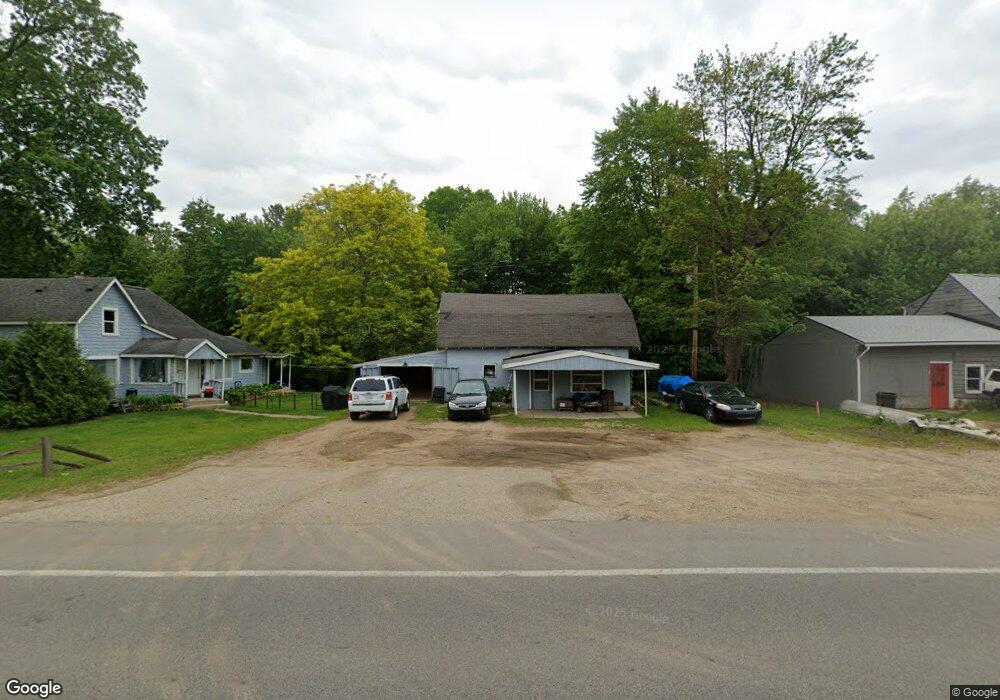
10648 Shaver Rd Portage, MI 49024
Estimated Value: $219,000 - $241,000
--
Bed
--
Bath
924
Sq Ft
$248/Sq Ft
Est. Value
About This Home
This home is located at 10648 Shaver Rd, Portage, MI 49024 and is currently estimated at $229,297, approximately $248 per square foot. 10648 Shaver Rd is a home located in Kalamazoo County with nearby schools including Moorsbridge Elementary School, Portage Central Middle School, and Portage Central High School.
Ownership History
Date
Name
Owned For
Owner Type
Purchase Details
Closed on
Jun 3, 2003
Sold by
The Sarah Elizabeth Jean Roberts Trust
Bought by
Roberts Rodney J and Roberts Rose A
Current Estimated Value
Home Financials for this Owner
Home Financials are based on the most recent Mortgage that was taken out on this home.
Original Mortgage
$52,800
Interest Rate
5.3%
Mortgage Type
Purchase Money Mortgage
Create a Home Valuation Report for This Property
The Home Valuation Report is an in-depth analysis detailing your home's value as well as a comparison with similar homes in the area
Home Values in the Area
Average Home Value in this Area
Purchase History
| Date | Buyer | Sale Price | Title Company |
|---|---|---|---|
| Roberts Rodney J | $66,000 | Metro |
Source: Public Records
Mortgage History
| Date | Status | Borrower | Loan Amount |
|---|---|---|---|
| Closed | Roberts Rodney J | $52,800 |
Source: Public Records
Tax History Compared to Growth
Tax History
| Year | Tax Paid | Tax Assessment Tax Assessment Total Assessment is a certain percentage of the fair market value that is determined by local assessors to be the total taxable value of land and additions on the property. | Land | Improvement |
|---|---|---|---|---|
| 2025 | $2,809 | $104,100 | $0 | $0 |
| 2024 | $2,568 | $95,300 | $0 | $0 |
| 2023 | $2,361 | $72,900 | $0 | $0 |
| 2022 | $2,458 | $68,800 | $0 | $0 |
| 2021 | $2,377 | $54,900 | $0 | $0 |
| 2020 | $2,330 | $48,700 | $0 | $0 |
| 2019 | $150 | $49,000 | $0 | $0 |
| 2018 | $0 | $48,500 | $0 | $0 |
| 2017 | $0 | $34,900 | $0 | $0 |
| 2016 | -- | $48,400 | $0 | $0 |
| 2015 | -- | $46,600 | $0 | $0 |
| 2014 | -- | $45,800 | $0 | $0 |
Source: Public Records
Map
Nearby Homes
- 2633 Rolling Hill Ave
- 1817 Alder Ave
- 10381 Schrier Ln
- 10382 Pennridge Dr
- 10025 Shuman St
- Integrity 1800 Plan at Pennridge Trail North
- Integrity 2085 Plan at Pennridge Trail North
- Integrity 1910 Plan at Pennridge Trail North
- 10197 Pennridge Dr
- 10187 Pennridge Dr
- 11025 Higley Cir W
- 9898 Windflower Ln
- 10118 Pennridge Dr
- 10077 Kearns Ct
- 10025 Kearns Ct
- 10029 Kearns Ct
- 9820 Windflower Ln
- 9770 Windflower Ln
- 2685 Ashford Trail
- 2613 Ashford Trail
- 10630 Shaver Rd
- 10660 Shaver Rd
- 10724 Shaver Rd
- 10624 Shaver Rd
- 10628 Shaver Rd
- 10727 Shaver Rd
- 10600 Shaver Rd
- 2604 Sugarloaf Ave
- 2701 Sugarloaf Ave
- 2617 Sugarloaf Ave
- 10542 Shaver Rd
- 2524 Sugarloaf Ave
- 2609 Sugarloaf Ave
- 2515 Mapleview Ave
- 2601 Sugarloaf Ave
- 2528 Mapleview Ave
- 2516 Sugarloaf Ave
- 2696 Avalon Woods Dr
- 2710 Avalon Woods Dr
- 2674 Avalon Woods Dr