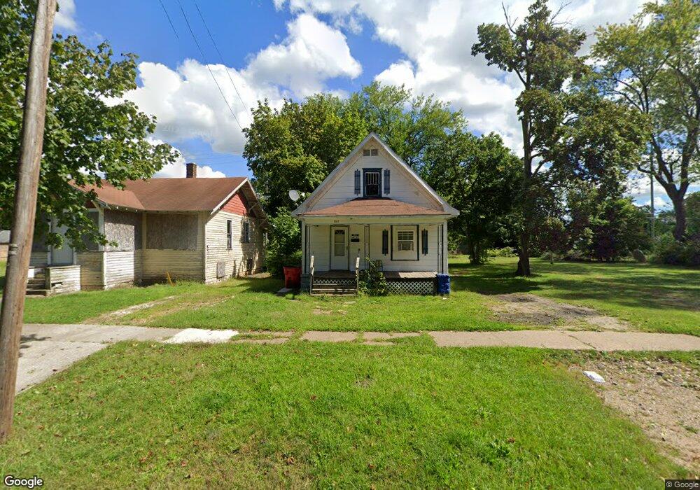
1065 Broadway Benton Harbor, MI 49022
Estimated Value: $66,697 - $122,000
2
Beds
1
Bath
996
Sq Ft
$94/Sq Ft
Est. Value
About This Home
This home is located at 1065 Broadway, Benton Harbor, MI 49022 and is currently estimated at $93,674, approximately $94 per square foot. 1065 Broadway is a home located in Berrien County with nearby schools including Fair Plain Middle School, Benton Harbor High School, and Benton Harbor Charter School Academy.
Ownership History
Date
Name
Owned For
Owner Type
Purchase Details
Closed on
Feb 27, 2019
Sold by
Bertina Powell
Bought by
Bledsoe Donnie and Bledsoe Evelyn
Current Estimated Value
Purchase Details
Closed on
Feb 21, 2019
Sold by
Powel Bertina
Bought by
Bledsoe Donnie and Bledsoe Evelyn
Purchase Details
Closed on
Sep 24, 2009
Sold by
Witkowski Bret
Bought by
Powell Bertina
Purchase Details
Closed on
Feb 13, 2003
Sold by
Schwartz Joseph and Schwartz Joan
Bought by
Washington Gary
Home Financials for this Owner
Home Financials are based on the most recent Mortgage that was taken out on this home.
Original Mortgage
$15,250
Interest Rate
6%
Mortgage Type
Seller Take Back
Purchase Details
Closed on
Jul 24, 1995
Purchase Details
Closed on
Jun 27, 1977
Create a Home Valuation Report for This Property
The Home Valuation Report is an in-depth analysis detailing your home's value as well as a comparison with similar homes in the area
Home Values in the Area
Average Home Value in this Area
Purchase History
| Date | Buyer | Sale Price | Title Company |
|---|---|---|---|
| Bledsoe Donnie | $8,500 | First American Title | |
| Bledsoe Donnie | $8,500 | First American Title | |
| Powell Bertina | $5,000 | None Available | |
| Washington Gary | $16,000 | -- | |
| -- | -- | -- | |
| -- | -- | -- |
Source: Public Records
Mortgage History
| Date | Status | Borrower | Loan Amount |
|---|---|---|---|
| Previous Owner | Washington Gary | $15,250 |
Source: Public Records
Tax History Compared to Growth
Tax History
| Year | Tax Paid | Tax Assessment Tax Assessment Total Assessment is a certain percentage of the fair market value that is determined by local assessors to be the total taxable value of land and additions on the property. | Land | Improvement |
|---|---|---|---|---|
| 2025 | $788 | $26,900 | $0 | $0 |
| 2024 | $758 | $23,300 | $0 | $0 |
| 2023 | $606 | $15,800 | $0 | $0 |
| 2022 | $688 | $11,400 | $0 | $0 |
| 2021 | $1,576 | $11,200 | $700 | $10,500 |
| 2020 | $704 | $11,200 | $0 | $0 |
| 2019 | $529 | $9,800 | $0 | $0 |
| 2018 | $806 | $10,300 | $0 | $0 |
| 2017 | $798 | $7,000 | $0 | $0 |
| 2016 | $780 | $7,100 | $0 | $0 |
| 2015 | $424 | $6,800 | $0 | $0 |
| 2014 | $457 | $8,200 | $0 | $0 |
Source: Public Records
Map
Nearby Homes
- 1097 Pearl St
- 361 E May St
- 972 Pearl St
- 979 Lavette Ave
- 349 E Empire Ave
- 1267 Broadway
- 872 Mcalister Ave
- 171 E Empire Ave
- 941 Colfax Ave
- 833 Pearl St
- 1235 Colfax Ave
- 1219 Ogden Ave
- 1045 Broadway
- 180 Emery Ave
- 1332 Columbus Ave
- 1301 Superior St
- 960 Jennings Ave
- 202 Searles Ave
- 1129 Jennings Ave
- 131 Clay St