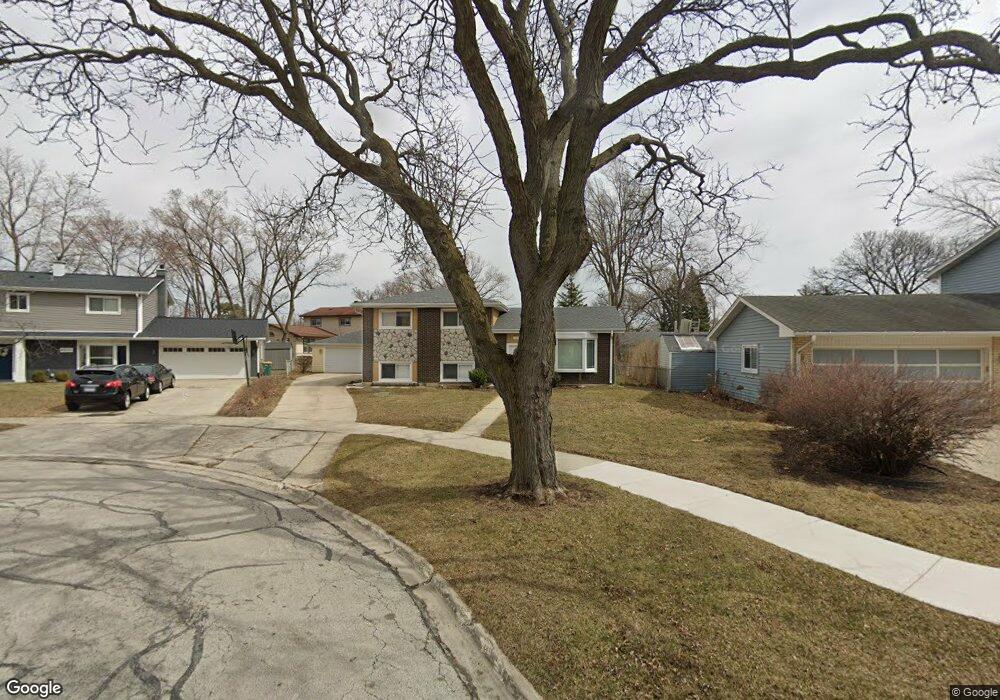
1065 Daniel Ct Lombard, IL 60148
North Lombard NeighborhoodEstimated Value: $379,982 - $413,000
3
Beds
2
Baths
1,161
Sq Ft
$342/Sq Ft
Est. Value
About This Home
This home is located at 1065 Daniel Ct, Lombard, IL 60148 and is currently estimated at $396,746, approximately $341 per square foot. 1065 Daniel Ct is a home located in DuPage County with nearby schools including Wm Hammerschmidt Elementary School, Madison Elementary School, and Pleasant Lane Elementary School.
Ownership History
Date
Name
Owned For
Owner Type
Purchase Details
Closed on
Jun 29, 2005
Sold by
Shannon John F and Shannon Margaret R
Bought by
Khan Vaseem
Current Estimated Value
Home Financials for this Owner
Home Financials are based on the most recent Mortgage that was taken out on this home.
Original Mortgage
$222,400
Outstanding Balance
$116,770
Interest Rate
5.75%
Mortgage Type
Fannie Mae Freddie Mac
Estimated Equity
$279,976
Purchase Details
Closed on
Sep 6, 2000
Sold by
Lask Dorothy A
Bought by
Lask Dorothy A and Shannon John F
Purchase Details
Closed on
Dec 14, 1994
Sold by
Lask Dorothy A
Bought by
Lask Dorothy A and Shannon Patrick T
Create a Home Valuation Report for This Property
The Home Valuation Report is an in-depth analysis detailing your home's value as well as a comparison with similar homes in the area
Home Values in the Area
Average Home Value in this Area
Purchase History
| Date | Buyer | Sale Price | Title Company |
|---|---|---|---|
| Khan Vaseem | $278,000 | Git | |
| Lask Dorothy A | -- | -- | |
| Lask Dorothy A | -- | -- |
Source: Public Records
Mortgage History
| Date | Status | Borrower | Loan Amount |
|---|---|---|---|
| Open | Khan Vaseem | $222,400 |
Source: Public Records
Tax History Compared to Growth
Tax History
| Year | Tax Paid | Tax Assessment Tax Assessment Total Assessment is a certain percentage of the fair market value that is determined by local assessors to be the total taxable value of land and additions on the property. | Land | Improvement |
|---|---|---|---|---|
| 2024 | $8,662 | $119,484 | $21,098 | $98,386 |
| 2023 | $8,242 | $110,490 | $19,510 | $90,980 |
| 2022 | $7,997 | $106,220 | $18,760 | $87,460 |
| 2021 | $7,747 | $103,570 | $18,290 | $85,280 |
| 2020 | $7,584 | $101,300 | $17,890 | $83,410 |
| 2019 | $7,205 | $96,310 | $17,010 | $79,300 |
| 2018 | $6,627 | $85,840 | $21,950 | $63,890 |
| 2017 | $6,438 | $81,800 | $20,920 | $60,880 |
| 2016 | $6,259 | $77,060 | $19,710 | $57,350 |
| 2015 | $5,910 | $71,790 | $18,360 | $53,430 |
| 2014 | $6,204 | $73,050 | $22,870 | $50,180 |
| 2013 | $6,110 | $74,080 | $23,190 | $50,890 |
Source: Public Records
Map
Nearby Homes
- 22 W Graham Ave
- 927 S Charlotte St
- 826 S Main St
- 1133 S Finley Rd Unit 410
- 451 S Garfield St
- 1320 Lore Ln Unit 101
- 1320 Lore Ln Unit 107B
- 111 E 13th St
- 1313 S Rebecca Rd Unit 118A
- 1313 S Rebecca Rd Unit B111
- 120A Collen Dr Unit 105
- 120A Collen Dr Unit 202
- 1324 S Main St
- 1321 S Finley Rd Unit 107
- 6 W Harding Rd
- 1311 S Finley Rd Unit 204
- 1198 Royal Glen Dr Unit 312
- 121 W Park Dr
- 635 S Charlotte St
- 1419 Colony Ct
- 1066 Jeffery Ct
- 1066 Jeffry Ct
- 1069 Daniel Ct
- 1062 Jeffery Ct Unit 1
- 1070 Jeffery Ct
- 1057 Daniel Ct
- 1058 Daniel Ct
- 1058 Jeffery Ct
- 1062 Daniel Ct
- 204 W Central Ave
- 1066 Daniel Ct
- 107 W Central Ave
- 113 W Central Ave
- 201 W Central Ave
- 41 W Central Ave
- 1057 Jeffery Ct
- 1069 Jeffery Ct
- 35 W Central Ave
- 222 W Central Ave
- 1065 Jeffery Ct Unit 1