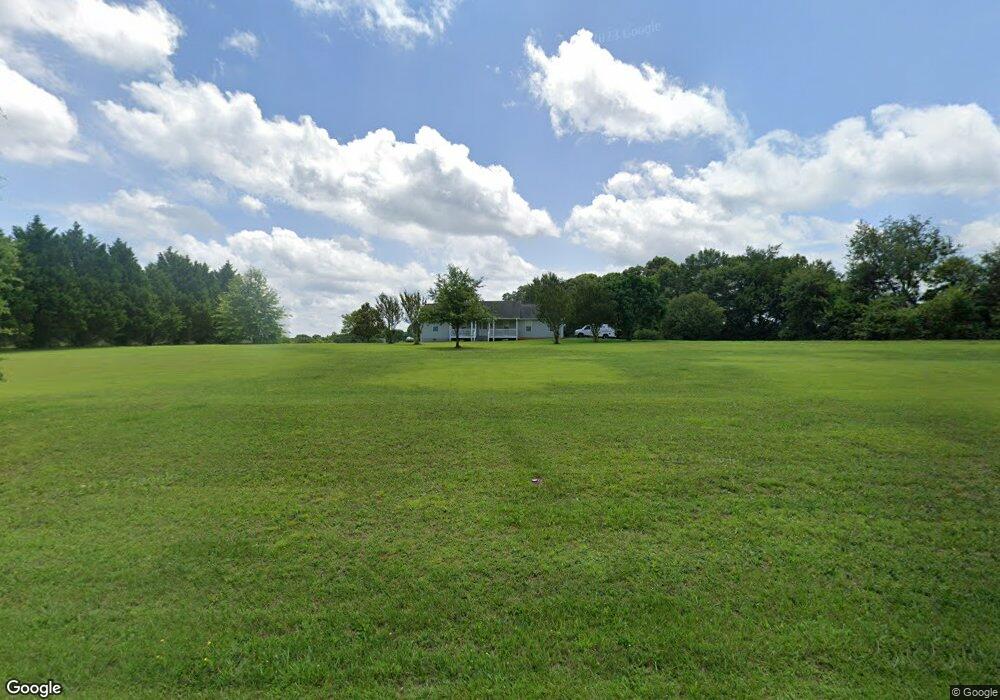
1065 Double Bridge Rd Winder, GA 30680
Estimated Value: $326,234 - $367,000
3
Beds
2
Baths
1,319
Sq Ft
$265/Sq Ft
Est. Value
About This Home
This home is located at 1065 Double Bridge Rd, Winder, GA 30680 and is currently estimated at $349,809, approximately $265 per square foot. 1065 Double Bridge Rd is a home located in Barrow County with nearby schools including Statham Elementary School, Bear Creek Middle School, and Winder-Barrow High School.
Ownership History
Date
Name
Owned For
Owner Type
Purchase Details
Closed on
Jan 2, 2002
Sold by
Griffin Ronald and Griffin Tommie L
Bought by
Phillips Gregory D
Current Estimated Value
Home Financials for this Owner
Home Financials are based on the most recent Mortgage that was taken out on this home.
Original Mortgage
$116,000
Outstanding Balance
$46,301
Interest Rate
7.16%
Mortgage Type
New Conventional
Estimated Equity
$303,508
Create a Home Valuation Report for This Property
The Home Valuation Report is an in-depth analysis detailing your home's value as well as a comparison with similar homes in the area
Home Values in the Area
Average Home Value in this Area
Purchase History
| Date | Buyer | Sale Price | Title Company |
|---|---|---|---|
| Phillips Gregory D | $145,000 | -- |
Source: Public Records
Mortgage History
| Date | Status | Borrower | Loan Amount |
|---|---|---|---|
| Open | Phillips Gregory D | $116,000 |
Source: Public Records
Tax History
| Year | Tax Paid | Tax Assessment Tax Assessment Total Assessment is a certain percentage of the fair market value that is determined by local assessors to be the total taxable value of land and additions on the property. | Land | Improvement |
|---|---|---|---|---|
| 2025 | $2,150 | $92,240 | $33,526 | $58,714 |
| 2024 | $2,165 | $90,571 | $33,526 | $57,045 |
| 2023 | $1,743 | $90,571 | $33,526 | $57,045 |
| 2022 | $1,854 | $67,779 | $33,526 | $34,253 |
| 2021 | $1,572 | $54,999 | $23,600 | $31,399 |
| 2020 | $1,505 | $52,712 | $24,168 | $28,544 |
| 2019 | $1,549 | $53,312 | $24,168 | $29,144 |
| 2018 | $1,526 | $53,312 | $24,168 | $29,144 |
| 2017 | $1,425 | $48,938 | $24,168 | $24,770 |
| 2016 | $1,372 | $49,237 | $24,168 | $25,069 |
| 2015 | $1,387 | $49,535 | $24,168 | $25,367 |
| 2014 | $1,039 | $37,806 | $11,842 | $25,964 |
| 2013 | -- | $36,586 | $11,842 | $24,743 |
Source: Public Records
Map
Nearby Homes
- 1453 Solomon Dr
- 385 Finch Landing Rd
- 16 Fox Dr
- 1295 Double Bridges Rd
- 670 Cedar Grove Church Rd
- 207 Cedar Grove Church Rd
- 670 Cedar Grove Church Rd
- 315 Paige Way
- 614 Anns Way
- 1553 Shoal Creek Dr
- 917 Justin Dr Unit 3
- 1556 Shoal Creek Dr
- 388 Kay Dr Unit 1
- 29 Nunnally Rd SE
- 973 Vera Ct
- 56 Candler Park Ct
- 508 Pleasant Hill Church Rd NE
- 416 Corbin Ct
- 290 Booth Rd
- 63 Delightful Way Unit 1
- 1075 Double Bridges Rd
- 1075 Double Bridge Rd
- 1436 Solomon Dr
- 1438 Solomon Dr
- 1434 Solomon Dr
- 1440 Solomon Dr
- 1432 Solomon Dr
- 1430 Solomon Dr
- 1442 Solomon Dr
- 1321 Holliday Dr
- 1444 Solomon Dr
- 1087 Double Bridge Rd Unit 4
- 1087 Double Bridge Rd
- 1087 Double Bridges Rd
- 1437 Solomon Dr
- 1446 Solomon Dr
- 1435 Solomon Dr
- 1325 Holliday Dr
- 1333 Holliday Dr
- 1439 Solomon Dr
Your Personal Tour Guide
Ask me questions while you tour the home.