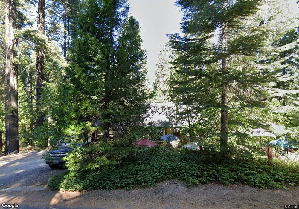
1065 Laurel Cir Arnold, CA 95223
Estimated Value: $373,075 - $531,000
5
Beds
2
Baths
2,504
Sq Ft
$178/Sq Ft
Est. Value
About This Home
This home is located at 1065 Laurel Cir, Arnold, CA 95223 and is currently estimated at $444,769, approximately $177 per square foot. 1065 Laurel Cir is a home with nearby schools including Bret Harte Union High School.
Ownership History
Date
Name
Owned For
Owner Type
Purchase Details
Closed on
Jun 26, 2024
Sold by
Nelson Mark and Nelson Karen
Bought by
Mark And Karen Nelson 2024 Revocable Trust and Nelson
Current Estimated Value
Purchase Details
Closed on
Feb 4, 2012
Sold by
Nelson Karen
Bought by
Nelson Karen and Nelson Mark
Home Financials for this Owner
Home Financials are based on the most recent Mortgage that was taken out on this home.
Original Mortgage
$85,000
Interest Rate
3.9%
Mortgage Type
New Conventional
Create a Home Valuation Report for This Property
The Home Valuation Report is an in-depth analysis detailing your home's value as well as a comparison with similar homes in the area
Home Values in the Area
Average Home Value in this Area
Purchase History
| Date | Buyer | Sale Price | Title Company |
|---|---|---|---|
| Mark And Karen Nelson 2024 Revocable Trust | -- | None Listed On Document | |
| Nelson Karen | -- | First American Title Company |
Source: Public Records
Mortgage History
| Date | Status | Borrower | Loan Amount |
|---|---|---|---|
| Previous Owner | Nelson Karen | $85,000 |
Source: Public Records
Tax History
| Year | Tax Paid | Tax Assessment Tax Assessment Total Assessment is a certain percentage of the fair market value that is determined by local assessors to be the total taxable value of land and additions on the property. | Land | Improvement |
|---|---|---|---|---|
| 2025 | $1,212 | $65,523 | $28,684 | $36,839 |
| 2023 | $1,178 | $62,980 | $27,571 | $35,409 |
| 2022 | $1,031 | $61,746 | $27,031 | $34,715 |
| 2021 | $1,022 | $60,536 | $26,501 | $34,035 |
| 2020 | $1,008 | $59,917 | $26,230 | $33,687 |
| 2019 | $993 | $58,743 | $25,716 | $33,027 |
| 2018 | $843 | $57,592 | $25,212 | $32,380 |
| 2017 | $826 | $56,464 | $24,718 | $31,746 |
| 2016 | $823 | $55,358 | $24,234 | $31,124 |
| 2015 | -- | $54,527 | $23,870 | $30,657 |
| 2014 | -- | $53,460 | $23,403 | $30,057 |
Source: Public Records
Map
Nearby Homes
- 791 Highway 4
- 845 Honey Ct
- 174 Wood Chip Cir
- 923 Bear Run Way
- 1273 Lilac Dr
- 1111 California 4
- 1254 Ponderosa Way
- 1002 Manuel Rd
- 15 Mill Creek Cir
- 1100-+ California 4
- 772-778 California 4
- 31 Splash Dam Loop
- 1578 Gloria Dr
- 459 Dean Way
- 1677 2nd St
- 729 Dawyn Dr
- 2081 Jerrilynn Dr
- 210 David Lee Rd
- 1856 Anna Lee Way
- 1536 Meadowview Rd
- 1055 Laurel Cir
- 1090 Laurel Cir
- 807 Hwy 4
- 1041 Laurel Cir
- 771 California 4
- 1038 Laurel Cir
- 749 California 4
- 1091 Laurel Cir
- 1025 Laurel Cir
- 1120 Laurel Cir
- 1026 Laurel Cir
- 975 Lilac Dr
- 1125 Laurel Cir
- 1107 Laurel Cir
- 1172 Laurel Cir
- 941 Lilac Dr
- 1146 Laurel Cir Unit 41
- 1146 Laurel Cir
- 857 Highway 4
- 794 California 4
Your Personal Tour Guide
Ask me questions while you tour the home.