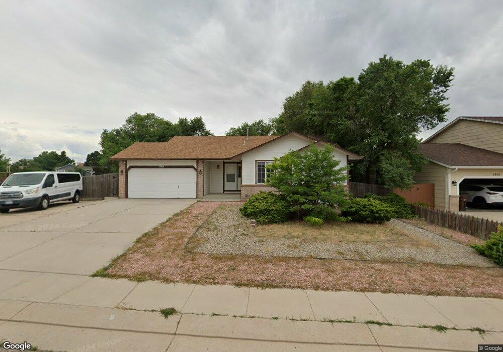
1065 Lindstrom Dr Colorado Springs, CO 80911
Fountain Valley Ranch NeighborhoodEstimated Value: $360,946 - $429,000
3
Beds
2
Baths
1,115
Sq Ft
$357/Sq Ft
Est. Value
About This Home
This home is located at 1065 Lindstrom Dr, Colorado Springs, CO 80911 and is currently estimated at $398,237, approximately $357 per square foot. 1065 Lindstrom Dr is a home located in El Paso County with nearby schools including Widefield Elementary School, Watson Junior High School, and Widefield High School.
Ownership History
Date
Name
Owned For
Owner Type
Purchase Details
Closed on
Sep 28, 2009
Sold by
Pullin William A
Bought by
Se Se Colorado Llc
Current Estimated Value
Purchase Details
Closed on
Jan 23, 1996
Sold by
New Generation Homes Inc
Bought by
Pullin William A and Pullin Cornelia L
Home Financials for this Owner
Home Financials are based on the most recent Mortgage that was taken out on this home.
Original Mortgage
$84,600
Interest Rate
7.14%
Create a Home Valuation Report for This Property
The Home Valuation Report is an in-depth analysis detailing your home's value as well as a comparison with similar homes in the area
Home Values in the Area
Average Home Value in this Area
Purchase History
| Date | Buyer | Sale Price | Title Company |
|---|---|---|---|
| Se Se Colorado Llc | $91,000 | Land Title Guarantee Company | |
| Pullin William A | -- | Unified Title Co Inc |
Source: Public Records
Mortgage History
| Date | Status | Borrower | Loan Amount |
|---|---|---|---|
| Previous Owner | Pullin William A | $84,600 |
Source: Public Records
Tax History Compared to Growth
Tax History
| Year | Tax Paid | Tax Assessment Tax Assessment Total Assessment is a certain percentage of the fair market value that is determined by local assessors to be the total taxable value of land and additions on the property. | Land | Improvement |
|---|---|---|---|---|
| 2025 | $1,768 | $26,710 | -- | -- |
| 2024 | $1,713 | $27,500 | $5,750 | $21,750 |
| 2023 | $1,713 | $27,500 | $5,750 | $21,750 |
| 2022 | $1,390 | $18,620 | $3,980 | $14,640 |
| 2021 | $1,499 | $19,150 | $4,090 | $15,060 |
| 2020 | $1,322 | $16,410 | $3,580 | $12,830 |
| 2019 | $1,314 | $16,410 | $3,580 | $12,830 |
| 2018 | $1,183 | $13,780 | $2,680 | $11,100 |
| 2017 | $1,196 | $13,780 | $2,680 | $11,100 |
| 2016 | $932 | $13,110 | $2,850 | $10,260 |
| 2015 | $955 | $13,110 | $2,850 | $10,260 |
| 2014 | $870 | $11,980 | $2,560 | $9,420 |
Source: Public Records
Map
Nearby Homes
- 1185 Modell Dr
- 1065 Harbourne St
- 480 Athens Dr
- 1240 Quinlan Ct
- 530 Jayton Dr
- 920 Hartell Dr
- 655 Hugh Martin St
- 570 Jayton Dr
- 5837 Upton Dr
- 576 Lindstrom Dr
- 770 Stargate Dr
- 6224 Gossamer St
- 41 N Dartmouth St
- 490 Dix Cir
- 520 Pucket Cir
- 80 Landoe Ln
- 518 Aspen Dr
- 112 Watson Blvd
- 29 N Dartmouth St
- 107 Hayes Dr
- 1045 Lindstrom Dr
- 1065 Withington Dr
- 405 Garwood Ct
- 1020 Barnum Dr
- 1030 Barnum Dr
- 1035 Lindstrom Dr
- 440 Pless Ct
- 1090 Withington Dr
- 1115 Lindstrom Dr
- 1055 Withington Dr
- 415 Garwood Ct
- 460 Pless Ct
- 1010 Barnum Dr
- 1025 Lindstrom Dr
- 420 Pless Ct
- 1080 Withington Dr
- 425 Garwood Ct
- 1120 Lindstrom Dr
- 1045 Withington Dr
- 410 Garwood Ct