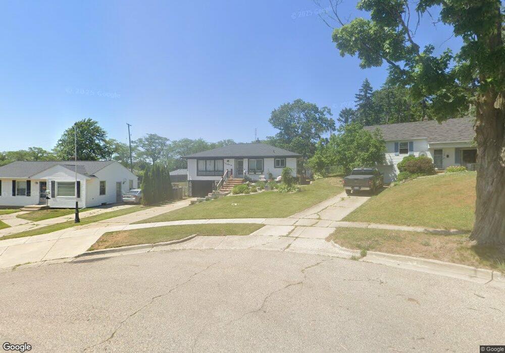
1065 Lockridge Dr NE Grand Rapids, MI 49505
Creston NeighborhoodEstimated Value: $248,000 - $300,000
3
Beds
2
Baths
1,120
Sq Ft
$251/Sq Ft
Est. Value
About This Home
This home is located at 1065 Lockridge Dr NE, Grand Rapids, MI 49505 and is currently estimated at $281,098, approximately $250 per square foot. 1065 Lockridge Dr NE is a home located in Kent County with nearby schools including Kent Hills School, Riverside Middle School, and Union High School.
Ownership History
Date
Name
Owned For
Owner Type
Purchase Details
Closed on
Jan 15, 2016
Sold by
Mccurdy John and Mccurdy Electa
Bought by
Colorado Anne M
Current Estimated Value
Home Financials for this Owner
Home Financials are based on the most recent Mortgage that was taken out on this home.
Original Mortgage
$115,995
Outstanding Balance
$92,163
Interest Rate
3.93%
Mortgage Type
FHA
Estimated Equity
$188,935
Purchase Details
Closed on
Nov 19, 2002
Sold by
Kroondyk Henry M and Kroondyk Cassandra A
Bought by
Mccurdy John and Mccurdy Electa
Home Financials for this Owner
Home Financials are based on the most recent Mortgage that was taken out on this home.
Original Mortgage
$116,666
Interest Rate
6.13%
Mortgage Type
FHA
Purchase Details
Closed on
Jun 19, 1991
Sold by
Bednarek Bednarek P P and Bednarek Kroondk H
Bought by
Mccurdy John Electa
Purchase Details
Closed on
May 6, 1983
Create a Home Valuation Report for This Property
The Home Valuation Report is an in-depth analysis detailing your home's value as well as a comparison with similar homes in the area
Home Values in the Area
Average Home Value in this Area
Purchase History
| Date | Buyer | Sale Price | Title Company |
|---|---|---|---|
| Colorado Anne M | $120,000 | Sun Title Agency Of Mi Llc | |
| Mccurdy John | $118,500 | Chicago Title Of Mi Inc | |
| Mccurdy John Electa | $70,000 | -- | |
| -- | $46,500 | -- |
Source: Public Records
Mortgage History
| Date | Status | Borrower | Loan Amount |
|---|---|---|---|
| Open | Colorado Anne M | $115,995 | |
| Previous Owner | Mccurdy John | $116,666 |
Source: Public Records
Tax History Compared to Growth
Tax History
| Year | Tax Paid | Tax Assessment Tax Assessment Total Assessment is a certain percentage of the fair market value that is determined by local assessors to be the total taxable value of land and additions on the property. | Land | Improvement |
|---|---|---|---|---|
| 2025 | $2,294 | $133,500 | $0 | $0 |
| 2024 | $2,294 | $122,500 | $0 | $0 |
| 2023 | $2,327 | $104,000 | $0 | $0 |
| 2022 | $2,209 | $89,200 | $0 | $0 |
| 2021 | $2,160 | $81,200 | $0 | $0 |
| 2020 | $2,065 | $74,900 | $0 | $0 |
| 2019 | $2,163 | $67,200 | $0 | $0 |
| 2018 | $2,089 | $60,400 | $0 | $0 |
| 2017 | $2,033 | $55,700 | $0 | $0 |
| 2016 | $1,598 | $49,900 | $0 | $0 |
| 2015 | $1,486 | $49,900 | $0 | $0 |
| 2013 | -- | $43,700 | $0 | $0 |
Source: Public Records
Map
Nearby Homes
- 1824 Herrick Ave NE
- 1119 Kentwood Dr NE
- 1848 Emerald Ave NE
- 2100 Dawson Ave NE
- 1825 Meadowfield Dr NE
- 1237 Dale Ct NE
- 1335 Knapp St NE
- 1757 Westlane Dr NE
- 2027 Joan Ave NE
- 921 Eleanor St NE
- 1666 Carlton Ave NE
- 2038 Melita Ave NE
- 738 Graceland St NE
- 778 Eleanor St NE
- 612 Woodridge St NE
- 1444 Sweet St NE
- 1119 Spencer St NE
- 1452 Carlton Ave NE
- 1524 Sweet St NE
- 1339 Fuller Ave NE
- 1061 Lockridge Dr NE
- 1069 Lockridge Dr NE
- 1055 Lockridge Dr NE
- 1046 Truxton Ave NE
- 1040 Truxton Ave NE
- 1049 Lockridge Dr NE
- 1073 Lockridge Dr NE
- 1052 Truxton Dr NE
- 1052 Truxton Ave NE
- 1036 Truxton Ave NE
- 1080 Lockridge Dr NE
- 1043 Lockridge Dr NE
- 1070 Lockridge Dr NE
- 1030 Truxton Ave NE
- 1058 Truxton Ave NE
- 1062 Lockridge Dr NE
- 1056 Lockridge Dr NE
- 1076 Lockridge Dr NE
- 1037 Lockridge Dr NE
- 1024 Truxton Ave NE