1065 Mitchell Point Rd Mineral, VA 23117
Estimated Value: $953,000 - $2,689,000
--
Bed
4
Baths
2,436
Sq Ft
$759/Sq Ft
Est. Value
About This Home
This home is located at 1065 Mitchell Point Rd, Mineral, VA 23117 and is currently estimated at $1,847,785, approximately $758 per square foot. 1065 Mitchell Point Rd is a home located in Louisa County with nearby schools including Thomas Jefferson Elementary School, Louisa County Middle School, and Louisa County High School.
Ownership History
Date
Name
Owned For
Owner Type
Purchase Details
Closed on
Nov 17, 2022
Sold by
Miller Charles Edward
Bought by
Miller Charles Edward and Miller Melanie Ann
Current Estimated Value
Purchase Details
Closed on
Sep 30, 2005
Sold by
Horstick David D
Bought by
Owen Claude B and Owen Lamar
Home Financials for this Owner
Home Financials are based on the most recent Mortgage that was taken out on this home.
Original Mortgage
$100,000
Interest Rate
5.72%
Mortgage Type
Credit Line Revolving
Create a Home Valuation Report for This Property
The Home Valuation Report is an in-depth analysis detailing your home's value as well as a comparison with similar homes in the area
Home Values in the Area
Average Home Value in this Area
Purchase History
| Date | Buyer | Sale Price | Title Company |
|---|---|---|---|
| Miller Charles Edward | -- | None Listed On Document | |
| Miller Charles Edward | -- | None Listed On Document | |
| Owen Claude B | $1,300,000 | None Available |
Source: Public Records
Mortgage History
| Date | Status | Borrower | Loan Amount |
|---|---|---|---|
| Previous Owner | Owen Claude B | $100,000 |
Source: Public Records
Tax History
| Year | Tax Paid | Tax Assessment Tax Assessment Total Assessment is a certain percentage of the fair market value that is determined by local assessors to be the total taxable value of land and additions on the property. | Land | Improvement |
|---|---|---|---|---|
| 2025 | $12,592 | $1,950,700 | $464,900 | $1,485,800 |
| 2024 | $12,592 | $1,748,900 | $419,600 | $1,329,300 |
| 2023 | $11,264 | $1,646,800 | $381,800 | $1,265,000 |
| 2022 | $9,838 | $1,366,400 | $347,800 | $1,018,600 |
| 2021 | $10 | $1,227,400 | $313,700 | $913,700 |
| 2020 | $8,268 | $1,148,400 | $313,700 | $834,700 |
| 2019 | $8,261 | $1,147,300 | $313,700 | $833,600 |
| 2018 | $7,897 | $1,096,800 | $302,400 | $794,400 |
| 2017 | $8,408 | $1,139,200 | $302,400 | $836,800 |
| 2016 | $8,408 | $1,167,800 | $294,800 | $873,000 |
| 2015 | $7,975 | $1,107,600 | $294,800 | $812,800 |
| 2013 | -- | $1,068,300 | $336,400 | $731,900 |
Source: Public Records
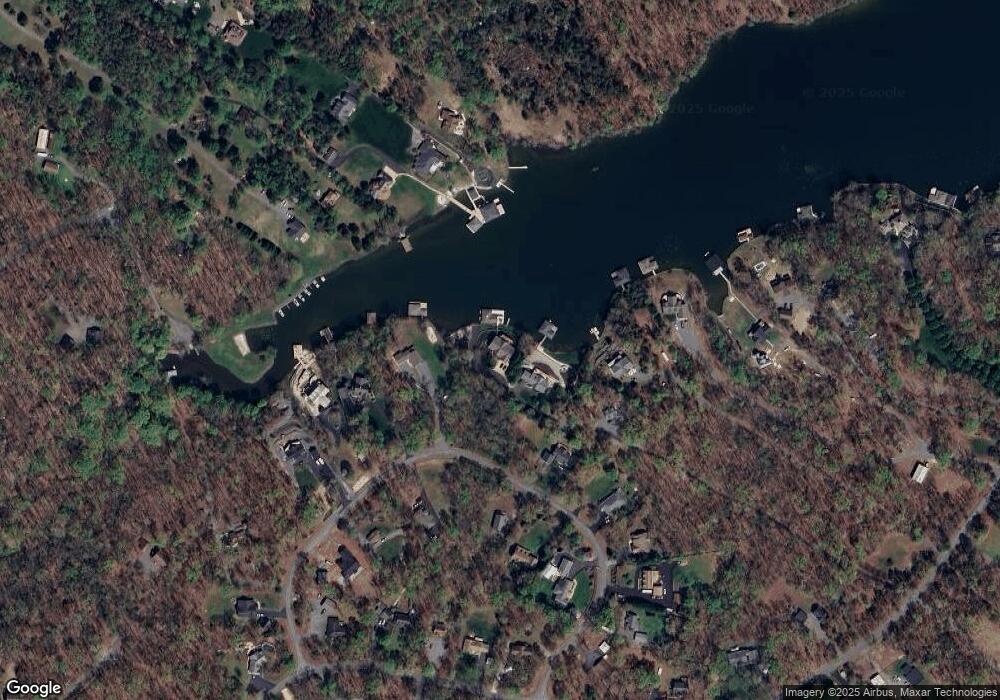
Map
Nearby Homes
- 724 Mitchell Point Rd
- 75 Edgewood Dr
- 109 White Oak Dr
- 0 Windwood Coves Blvd Unit VALA2009618
- 260 Deerfield Place
- 22 Lake Country Dr
- Lot 11 Pleasants Ln
- 00 Anna Coves Ct
- 36 Anna Coves Blvd
- 184 Anna Coves Blvd
- 219 Oakwood Dr
- 575 Tall Pines Dr
- 0 Pine Harbour Dr Unit VALA2009292
- 5036 Corsair Terrace
- 402 Oak Grove Dr
- 65 Christopher Ct
- 776 Tall Pines Dr
- 5 Hunt Haven
- 716 Pine Harbour Dr
- 4600 Magnolia Harbour Dr
- 185 Bernie Cir
- 0 Bernie Cir
- 237 Bernie Cir
- Lot 86 Bernie Cir Unit 86
- Lot 86 Bernie Cir
- 1123 Mitchell Point Rd
- 137 Bernie Cir
- 152 Bernie Cir
- 224 Bernie Cir
- 271 Bernie Cir
- 252 Bernie Cir
- 129 Bernie Cir
- 0 New Bridge Rd Unit LA8693036
- 2694 New Bridge Rd
- 2738 New Bridge Rd
- 105 Bernie Cir
- 106 Bernie Cir
- 291 Bernie Cir
- 2652 New Bridge Rd
- 306 Bernie Cir
Your Personal Tour Guide
Ask me questions while you tour the home.