Estimated Value: $1,052,000 - $1,841,764
4
Beds
3
Baths
29,396
Sq Ft
$48/Sq Ft
Est. Value
About This Home
This home is located at 1065 N Trinnaman Ln, Lehi, UT 84043 and is currently estimated at $1,421,255, approximately $48 per square foot. 1065 N Trinnaman Ln is a home located in Utah County with nearby schools including Lehi Elementary School, Lehi Junior High School, and Lehi High School.
Ownership History
Date
Name
Owned For
Owner Type
Purchase Details
Closed on
Nov 14, 2023
Sold by
Dubois Joanne R
Bought by
Joanne R Dubois Trust and Dubois
Current Estimated Value
Purchase Details
Closed on
Dec 4, 2009
Sold by
Dubois Michael A and Dubois Joanne R
Bought by
Dubois Michael A
Create a Home Valuation Report for This Property
The Home Valuation Report is an in-depth analysis detailing your home's value as well as a comparison with similar homes in the area
Home Values in the Area
Average Home Value in this Area
Purchase History
| Date | Buyer | Sale Price | Title Company |
|---|---|---|---|
| Joanne R Dubois Trust | -- | None Listed On Document | |
| Dubois Joanne R | -- | None Listed On Document | |
| Dubois Michael A | -- | Accommodation |
Source: Public Records
Tax History Compared to Growth
Tax History
| Year | Tax Paid | Tax Assessment Tax Assessment Total Assessment is a certain percentage of the fair market value that is determined by local assessors to be the total taxable value of land and additions on the property. | Land | Improvement |
|---|---|---|---|---|
| 2025 | $4,175 | $487,528 | $1,406,100 | $616,100 |
| 2024 | $4,175 | $488,543 | $0 | $0 |
| 2023 | $4,058 | $515,619 | $0 | $0 |
| 2022 | $5,054 | $2,075,500 | $1,260,000 | $815,500 |
| 2021 | $4,907 | $1,675,700 | $999,600 | $676,100 |
| 2020 | $4,483 | $1,590,500 | $948,000 | $642,500 |
| 2019 | $4,192 | $1,554,900 | $948,000 | $606,900 |
| 2018 | $4,446 | $1,410,300 | $803,400 | $606,900 |
| 2017 | $3,208 | $308,557 | $0 | $0 |
| 2016 | $3,146 | $280,753 | $0 | $0 |
| 2015 | $3,316 | $280,911 | $0 | $0 |
| 2014 | $3,340 | $281,254 | $0 | $0 |
Source: Public Records
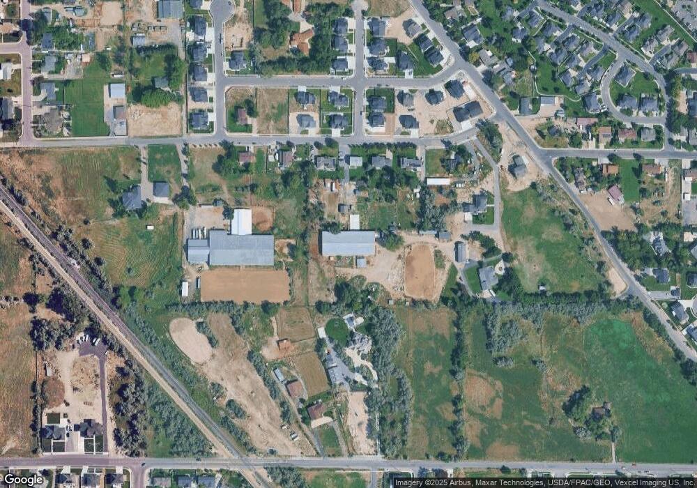
Map
Nearby Homes
- 1301 N 900 W Unit 12
- 1094 W 1425 N
- 902 W 1500 N
- 1132 Titan Dr
- 1032 Titan Dr
- 578 N Woods Dr
- 1610 N 1125 W
- 1817 W Bad Rock Cir
- 443 W 820 N
- 1127 N 1500 W
- 1332 W 1500 N
- 996 N 200 W
- 1150 N 200 W Unit 6
- 1249 W 1800 N
- 1011 W Mountain Way Unit 316
- 155 W State St Unit TRLR 3
- 1272 W 1800 N
- 1627 W Boxwood Dr Unit 110
- 1659 W Boxwood Dr Unit 109
- 68 W State St
- 919 W 1220 N
- 951 W 1220 N
- 951 W 1220 N Unit 1C
- 887 W 1220 N
- 862 W 900 N
- 818 W 1220 N
- 959 W 1220 N
- 771 W 1220 N
- 892 W 1220 N Unit 32
- 932 W 1220 N
- 932 W 1220 N Unit 31
- 954 W 1220 N Unit 30
- 795 W 1220 N
- 989 W 1220 N
- 989 W 1220 N Unit 1
- 848 W 1220 N Unit 33
- 931 W 1280 N
- 931 W 1280 N Unit 26
- 897 W 1280 N Unit 25
- 955 W 1280 N Unit 27