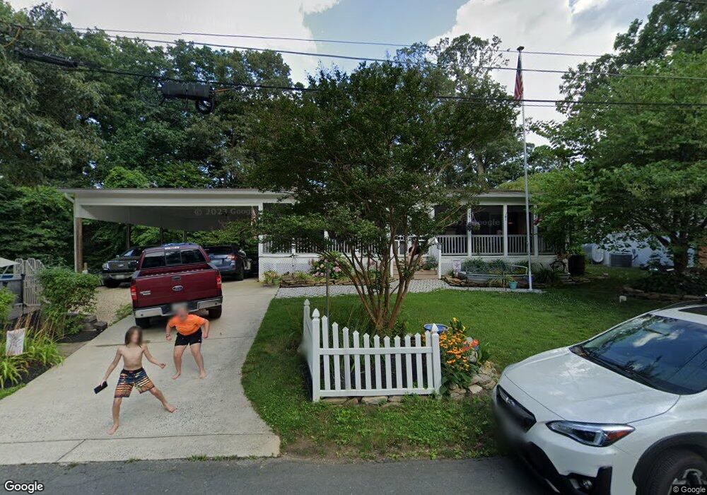
1065 Overcrest Dr Crownsville, MD 21032
Arden on the Severn NeighborhoodEstimated Value: $438,000 - $535,000
--
Bed
1
Bath
1,040
Sq Ft
$458/Sq Ft
Est. Value
About This Home
This home is located at 1065 Overcrest Dr, Crownsville, MD 21032 and is currently estimated at $476,667, approximately $458 per square foot. 1065 Overcrest Dr is a home located in Anne Arundel County with nearby schools including Millersville Elementary School, Old Mill High School, and Rockbridge Academy.
Ownership History
Date
Name
Owned For
Owner Type
Purchase Details
Closed on
Feb 26, 2008
Sold by
O'Donnell Carol A
Bought by
Simmons Carol A and Simmons Robert
Current Estimated Value
Purchase Details
Closed on
Apr 25, 2006
Sold by
Brinker Thomas A
Bought by
O'Donnell Carol A
Home Financials for this Owner
Home Financials are based on the most recent Mortgage that was taken out on this home.
Original Mortgage
$306,400
Interest Rate
6.34%
Mortgage Type
Purchase Money Mortgage
Create a Home Valuation Report for This Property
The Home Valuation Report is an in-depth analysis detailing your home's value as well as a comparison with similar homes in the area
Home Values in the Area
Average Home Value in this Area
Purchase History
| Date | Buyer | Sale Price | Title Company |
|---|---|---|---|
| Simmons Carol A | -- | -- | |
| O'Donnell Carol A | $383,000 | -- |
Source: Public Records
Mortgage History
| Date | Status | Borrower | Loan Amount |
|---|---|---|---|
| Previous Owner | O'Donnell Carol A | $306,400 |
Source: Public Records
Tax History Compared to Growth
Tax History
| Year | Tax Paid | Tax Assessment Tax Assessment Total Assessment is a certain percentage of the fair market value that is determined by local assessors to be the total taxable value of land and additions on the property. | Land | Improvement |
|---|---|---|---|---|
| 2025 | $4,322 | $390,400 | $233,800 | $156,600 |
| 2024 | $4,322 | $379,533 | $0 | $0 |
| 2023 | $3,672 | $368,667 | $0 | $0 |
| 2022 | $3,933 | $357,800 | $233,800 | $124,000 |
| 2021 | $7,722 | $346,533 | $0 | $0 |
| 2020 | $3,750 | $335,267 | $0 | $0 |
| 2019 | $3,683 | $324,000 | $203,800 | $120,200 |
| 2018 | $3,173 | $312,933 | $0 | $0 |
| 2017 | $3,460 | $301,867 | $0 | $0 |
| 2016 | -- | $290,800 | $0 | $0 |
| 2015 | -- | $290,800 | $0 | $0 |
| 2014 | -- | $290,800 | $0 | $0 |
Source: Public Records
Map
Nearby Homes
- 1037 Dockser Dr
- 1003 Omar Dr
- 1013 Plum Creek Dr
- 1001 Omar Dr
- 717 Whitneys Landing Dr
- 366 Walnut Trail
- 0 Beech Trail
- 0 Elm Trail
- 0 Old Herald Harbor Rd Unit MDAA2109542
- 0 Old Herald Harbor Rd Unit MDAA2115958
- 478 Mountain Rd
- 596 West Dr
- 0 Redwood Trail Unit MDAA2111808
- 0 Redwood Trail Unit MDAA2111804
- 626 Evergreen Rd
- 0 Whitewood Trail
- 0 Herald Harbor Rd Unit MDAA2123892
- 330 S Riverside Dr
- Lots 25 and 26 Redwood Trail
- Lots 27 and 28 Redwood Trail
- 1069 Overcrest Dr
- 1063 Overcrest Dr
- 1064 Overcrest Dr
- 1066 Overcrest Dr
- 1061 Overcrest Dr
- 1071 Overcrest Dr
- 1068 Overcrest Dr
- 1073 Overcrest Dr
- 1062 Overcrest Dr
- 1070 Overcrest Dr
- 1072 Overcrest Dr
- 1060 Overcrest Dr
- 1075 Overcrest Dr
- 817 Miner Rd
- 1077 Overcrest Dr
- 813 Miner Rd
- 821 Miner Rd
- 809 Miner Rd
- 811 Miner Rd
- 823 Miner Rd