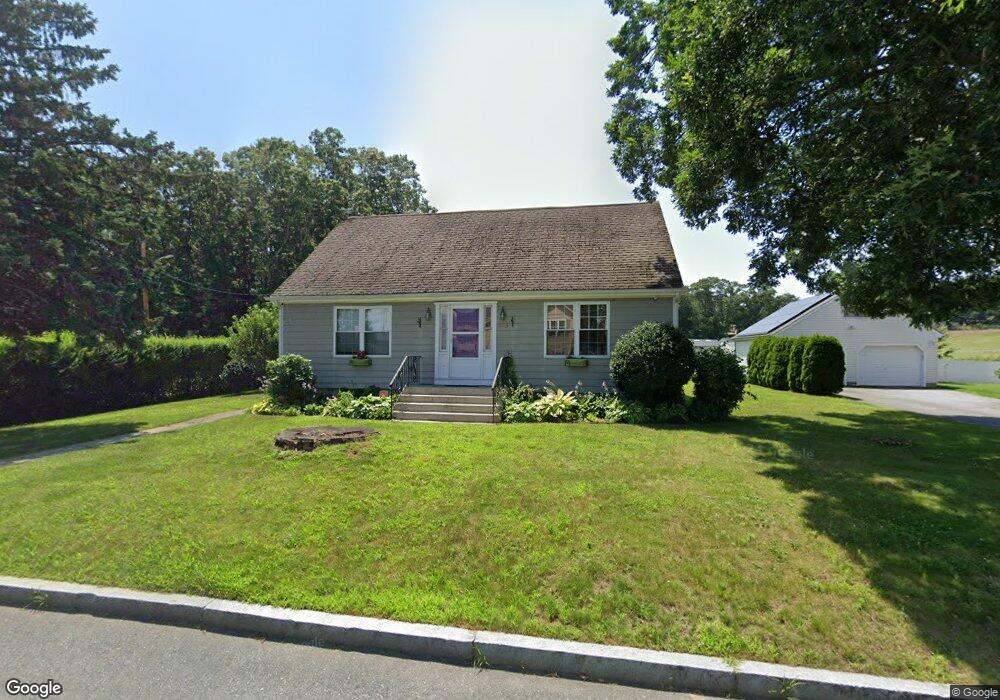
1065 Spencer St Fall River, MA 02721
Maplewood NeighborhoodEstimated Value: $458,574 - $521,000
4
Beds
2
Baths
1,573
Sq Ft
$309/Sq Ft
Est. Value
About This Home
This home is located at 1065 Spencer St, Fall River, MA 02721 and is currently estimated at $486,144, approximately $309 per square foot. 1065 Spencer St is a home located in Bristol County with nearby schools including Letourneau Elementary School, Matthew J. Kuss Middle School, and B M C Durfee High School.
Ownership History
Date
Name
Owned For
Owner Type
Purchase Details
Closed on
Jan 29, 2003
Sold by
Peloquin Robert and Peloquin Maureen
Bought by
Petty Russell G and Petty Cynthia M
Current Estimated Value
Home Financials for this Owner
Home Financials are based on the most recent Mortgage that was taken out on this home.
Original Mortgage
$300,000
Interest Rate
6.09%
Mortgage Type
Purchase Money Mortgage
Purchase Details
Closed on
Jul 27, 1987
Sold by
Peloquin Paul J
Bought by
Peloquin Robert
Create a Home Valuation Report for This Property
The Home Valuation Report is an in-depth analysis detailing your home's value as well as a comparison with similar homes in the area
Home Values in the Area
Average Home Value in this Area
Purchase History
| Date | Buyer | Sale Price | Title Company |
|---|---|---|---|
| Petty Russell G | $225,000 | -- | |
| Peloquin Robert | $115,000 | -- |
Source: Public Records
Mortgage History
| Date | Status | Borrower | Loan Amount |
|---|---|---|---|
| Open | Peloquin Robert | $215,700 | |
| Closed | Peloquin Robert | $300,000 | |
| Previous Owner | Peloquin Robert | $115,000 |
Source: Public Records
Tax History
| Year | Tax Paid | Tax Assessment Tax Assessment Total Assessment is a certain percentage of the fair market value that is determined by local assessors to be the total taxable value of land and additions on the property. | Land | Improvement |
|---|---|---|---|---|
| 2025 | $4,250 | $371,200 | $134,900 | $236,300 |
| 2024 | $4,019 | $349,800 | $129,800 | $220,000 |
| 2023 | $4,130 | $336,600 | $123,500 | $213,100 |
| 2022 | $3,703 | $293,400 | $114,400 | $179,000 |
| 2021 | $3,635 | $262,800 | $114,100 | $148,700 |
| 2020 | $3,409 | $235,900 | $107,900 | $128,000 |
| 2019 | $3,349 | $229,700 | $105,800 | $123,900 |
| 2018 | $3,316 | $226,800 | $105,800 | $121,000 |
| 2017 | $3,105 | $221,800 | $102,800 | $119,000 |
| 2016 | $2,943 | $215,900 | $102,800 | $113,100 |
| 2015 | $2,955 | $225,900 | $102,800 | $123,100 |
| 2014 | $2,842 | $225,900 | $102,800 | $123,100 |
Source: Public Records
Map
Nearby Homes
- 1082 Hancock St
- 664 Norman St
- 0 Wood St
- 206 Songbird Ln
- 0 Hancock St
- 37 Bluejay St
- 84 Lark Ln
- 71 Blackbird St
- 3 Blackbird St
- 18 Mockingbird Ln
- 38 Hummingbird Ln
- 21 Nightingale Ln
- 186 Spencer St
- 0 Stafford Rd Unit 1393774
- 0 Sheldon St
- 185 Stafford Rd
- 495 Chicago St
- 11 Harrison Ct
- 59 Denver St
- 25 Beaulieu St
Your Personal Tour Guide
Ask me questions while you tour the home.