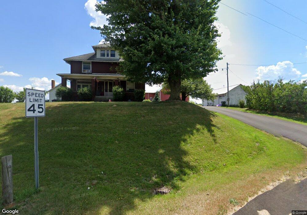
10650 Beech St NE Alliance, OH 44601
Estimated Value: $297,000 - $400,000
5
Beds
1
Bath
2,380
Sq Ft
$145/Sq Ft
Est. Value
About This Home
This home is located at 10650 Beech St NE, Alliance, OH 44601 and is currently estimated at $346,036, approximately $145 per square foot. 10650 Beech St NE is a home with nearby schools including Louisville High School.
Ownership History
Date
Name
Owned For
Owner Type
Purchase Details
Closed on
Dec 20, 2007
Sold by
Smith Brenda K and Linder Sisters Charitable Rema
Bought by
M A S S Holdings Llc
Current Estimated Value
Home Financials for this Owner
Home Financials are based on the most recent Mortgage that was taken out on this home.
Original Mortgage
$170,000
Outstanding Balance
$112,766
Interest Rate
7.25%
Mortgage Type
Purchase Money Mortgage
Estimated Equity
$233,270
Purchase Details
Closed on
Nov 20, 2000
Sold by
Estate Of Eva Linder
Bought by
Linder Luella and Linder Lena
Create a Home Valuation Report for This Property
The Home Valuation Report is an in-depth analysis detailing your home's value as well as a comparison with similar homes in the area
Home Values in the Area
Average Home Value in this Area
Purchase History
| Date | Buyer | Sale Price | Title Company |
|---|---|---|---|
| M A S S Holdings Llc | $200,000 | Attorney | |
| Linder Luella | -- | -- |
Source: Public Records
Mortgage History
| Date | Status | Borrower | Loan Amount |
|---|---|---|---|
| Open | M A S S Holdings Llc | $170,000 |
Source: Public Records
Tax History Compared to Growth
Tax History
| Year | Tax Paid | Tax Assessment Tax Assessment Total Assessment is a certain percentage of the fair market value that is determined by local assessors to be the total taxable value of land and additions on the property. | Land | Improvement |
|---|---|---|---|---|
| 2025 | -- | $106,890 | $60,270 | $46,620 |
| 2024 | -- | $106,890 | $60,270 | $46,620 |
| 2023 | $2,395 | $86,985 | $51,665 | $35,320 |
| 2022 | $2,398 | $48,170 | $12,850 | $35,320 |
| 2021 | $2,404 | $48,170 | $12,850 | $35,320 |
| 2020 | $2,039 | $43,060 | $12,850 | $30,210 |
| 2019 | $2,049 | $43,090 | $12,850 | $30,240 |
| 2018 | $2,044 | $43,090 | $12,850 | $30,240 |
| 2017 | $1,926 | $38,770 | $14,530 | $24,240 |
| 2016 | $1,886 | $38,770 | $14,530 | $24,240 |
| 2015 | $1,891 | $38,770 | $14,530 | $24,240 |
| 2014 | $1,860 | $35,300 | $10,500 | $24,800 |
| 2013 | $931 | $35,300 | $10,500 | $24,800 |
Source: Public Records
Map
Nearby Homes
- 0 Moulin Ave NE
- 0 Reeder Ave NE
- 5990 Meese Rd NE
- 6109 Oakhill Ave NE
- 0 Valewood Cir Unit 5006281
- 2435 Queensbury Rd
- 2851 Patriots Path Unit 3D
- 12222 Cenfield St NE
- 2377 Ansley St Unit 2377
- 6052 N Nickelplate St
- 7844 Morningstar Dr
- 0 Easton St NE
- 5495 Meese Rd NE
- 1430 Westwood Ave
- 2081 Marwood Cir
- 10666 Wilma Ave NE
- 0 Winchester St
- 0 Winchester St Unit 5162877
- 13061 Beeson St NE
- 2220 Western Ave
- 0 Beech St NE Unit 3643090
- 0 Beech St NE Unit 3683138
- 0 Beech St NE Unit 5113138
- 0 Beech St NE Unit 5028504
- 0 Beech St NE Unit 4479401
- 0 Beech St NE Unit 4479397
- 0 Beech St NE Unit 4420978
- 0 Beech St NE Unit 4278498
- 0 Beech St NE Unit 4066523
- 0 Beech St NE Unit 4052481
- 10685 Beech St NE
- 10733 Beech St NE
- 10595 Kilmarnock Rd NE
- 10790 Beech St NE
- 10563 Beech St NE
- 10822 Beech St NE
- 10481 Beech St NE
- 10416 Beech St NE
- 10819 Beech St NE
- 10388 Beech St NE