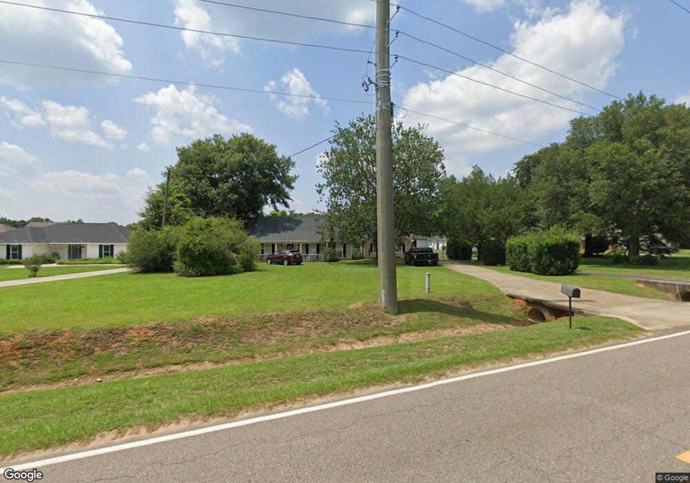
10650 Jeff Hamilton Rd Mobile, AL 36695
Outer West Mobile NeighborhoodEstimated Value: $260,182 - $370,000
3
Beds
2
Baths
2,200
Sq Ft
$139/Sq Ft
Est. Value
About This Home
This home is located at 10650 Jeff Hamilton Rd, Mobile, AL 36695 and is currently estimated at $304,796, approximately $138 per square foot. 10650 Jeff Hamilton Rd is a home located in Mobile County with nearby schools including Hutchens Elementary School, Dawes Intermediate School, and Bernice J Causey Middle School.
Ownership History
Date
Name
Owned For
Owner Type
Purchase Details
Closed on
Aug 29, 2008
Sold by
Nichols James Joseph
Bought by
Hembree Timothy Joseph and Hembree Pamela S
Current Estimated Value
Home Financials for this Owner
Home Financials are based on the most recent Mortgage that was taken out on this home.
Original Mortgage
$185,764
Outstanding Balance
$124,090
Interest Rate
6.61%
Mortgage Type
FHA
Estimated Equity
$180,706
Purchase Details
Closed on
Jul 17, 2006
Sold by
Carter William C and Carter Deborah A
Bought by
Nichols James Joseph
Home Financials for this Owner
Home Financials are based on the most recent Mortgage that was taken out on this home.
Original Mortgage
$161,910
Interest Rate
11.55%
Mortgage Type
New Conventional
Create a Home Valuation Report for This Property
The Home Valuation Report is an in-depth analysis detailing your home's value as well as a comparison with similar homes in the area
Home Values in the Area
Average Home Value in this Area
Purchase History
| Date | Buyer | Sale Price | Title Company |
|---|---|---|---|
| Hembree Timothy Joseph | $188,680 | Slt | |
| Nichols James Joseph | -- | None Available |
Source: Public Records
Mortgage History
| Date | Status | Borrower | Loan Amount |
|---|---|---|---|
| Open | Hembree Timothy Joseph | $185,764 | |
| Previous Owner | Nichols James Joseph | $161,910 |
Source: Public Records
Tax History Compared to Growth
Tax History
| Year | Tax Paid | Tax Assessment Tax Assessment Total Assessment is a certain percentage of the fair market value that is determined by local assessors to be the total taxable value of land and additions on the property. | Land | Improvement |
|---|---|---|---|---|
| 2024 | $975 | $20,030 | $2,780 | $17,250 |
| 2023 | $975 | $17,810 | $2,780 | $15,030 |
| 2022 | $621 | $14,170 | $2,000 | $12,170 |
| 2021 | $632 | $14,410 | $2,120 | $12,290 |
| 2020 | $649 | $14,760 | $2,120 | $12,640 |
| 2019 | $580 | $13,340 | $0 | $0 |
| 2018 | $595 | $13,640 | $0 | $0 |
| 2017 | $687 | $14,100 | $0 | $0 |
| 2016 | $632 | $14,420 | $0 | $0 |
| 2013 | $615 | $13,200 | $0 | $0 |
Source: Public Records
Map
Nearby Homes
- 0 Deer Crest Dr Unit 7657123
- 0 Deer Crest Dr Unit 7552478
- 10351 Jeff Hamilton Rd
- 10482 Ellenton W
- 10506 Ellenton W
- 10595 Lowell St W
- 10565 Lowell St W
- 10575 Lowell St W
- 10585 Lowell St W
- 10494 Ellenton W
- The Lakeside Plan at Rossfield
- The Freeport Plan at Rossfield
- The Aria Plan at Rossfield
- The Cairn Plan at Rossfield
- The Denton Plan at Rossfield
- The Booth Plan at Rossfield
- 10414 Lowell St E
- 3050 Jersey Dr W
- 10469 Fletcher Terrace
- 10404 Lowell St E
- 10670 Jeff Hamilton Rd
- 10670 Jeff Hamilton Rd
- 10640 Jeff Hamilton Rd
- 3051 Notsram Ct
- 3059 Notsram Ct
- 3043 Notsram Ct
- 10630 Jeff Hamilton Rd
- 3067 Notsram Ct
- 3035 Notsram Ct
- 3027 Notsram Ct
- 3021 Notsram Ct
- 8 Notsram Ct
- 3015 Notsram Ct
- 3007 Notsram Ct
- 3050 Notsram Ct
- 3044 Notsram Ct
- 3056 Notsram Ct
- 3038 Notsram Ct
- 10620 Jeff Hamilton Rd
- 3032 Notsram Ct