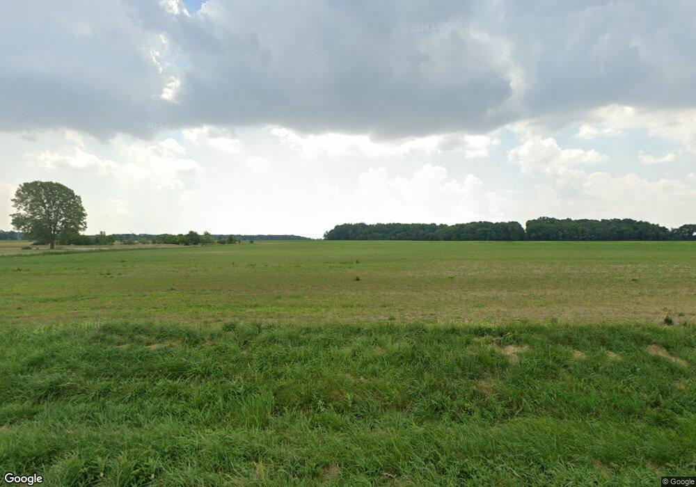
10653 State Route 613 van Buren, OH 45889
Estimated Value: $331,000 - $438,000
3
Beds
2
Baths
1,740
Sq Ft
$223/Sq Ft
Est. Value
About This Home
This home is located at 10653 State Route 613, van Buren, OH 45889 and is currently estimated at $387,254, approximately $222 per square foot. 10653 State Route 613 is a home located in Hancock County with nearby schools including Van Buren Elementary School, Van Buren Middle School, and Van Buren High School.
Ownership History
Date
Name
Owned For
Owner Type
Purchase Details
Closed on
Dec 8, 2020
Sold by
Rayle Diego and Rayle Nancy J
Bought by
The Rayle Heritage Irrevocable Trust
Current Estimated Value
Purchase Details
Closed on
May 22, 2002
Sold by
Leach Wendell L
Bought by
Rayle James F and Rayle Nancy J
Home Financials for this Owner
Home Financials are based on the most recent Mortgage that was taken out on this home.
Original Mortgage
$131,920
Outstanding Balance
$56,253
Interest Rate
7.07%
Mortgage Type
New Conventional
Estimated Equity
$331,001
Purchase Details
Closed on
Sep 13, 1993
Bought by
Heminger Dave F and Heminger Norma G
Create a Home Valuation Report for This Property
The Home Valuation Report is an in-depth analysis detailing your home's value as well as a comparison with similar homes in the area
Home Values in the Area
Average Home Value in this Area
Purchase History
| Date | Buyer | Sale Price | Title Company |
|---|---|---|---|
| The Rayle Heritage Irrevocable Trust | -- | None Available | |
| Rayle James F | $164,900 | -- | |
| Heminger Dave F | -- | -- |
Source: Public Records
Mortgage History
| Date | Status | Borrower | Loan Amount |
|---|---|---|---|
| Open | Rayle James F | $131,920 |
Source: Public Records
Tax History Compared to Growth
Tax History
| Year | Tax Paid | Tax Assessment Tax Assessment Total Assessment is a certain percentage of the fair market value that is determined by local assessors to be the total taxable value of land and additions on the property. | Land | Improvement |
|---|---|---|---|---|
| 2024 | $2,669 | $93,700 | $17,170 | $76,530 |
| 2023 | $2,676 | $93,700 | $17,170 | $76,530 |
| 2022 | $2,694 | $93,700 | $17,170 | $76,530 |
| 2021 | $2,173 | $73,150 | $18,480 | $54,670 |
| 2020 | $2,164 | $73,150 | $18,480 | $54,670 |
| 2019 | $2,239 | $73,150 | $18,480 | $54,670 |
| 2018 | $1,882 | $62,190 | $13,200 | $48,990 |
| 2017 | $944 | $62,190 | $13,200 | $48,990 |
| 2016 | $1,825 | $62,190 | $13,200 | $48,990 |
| 2015 | $1,782 | $59,520 | $13,200 | $46,320 |
| 2014 | $1,793 | $59,520 | $13,200 | $46,320 |
| 2012 | $1,979 | $60,460 | $13,200 | $47,260 |
Source: Public Records
Map
Nearby Homes
- 10638 Township Road 109
- 9991 State Route 613
- 11755 State Route 613
- 308 S Main St
- 117 S Main St
- 3361 County Road 220
- 12132 Township Road 108
- 201 Briar Hill Rd
- 215 Briar Hill Rd
- 0 Allen Township 142
- 216 S Tarr St
- 815 George St
- 12325 Township Highway 99
- 0 Township Highway 99
- 318 Belmont St
- 3815 Forest Trail Dr
- 0 Bearcat Way Or Rock Candy Rd Unit Lot 167
- 0 County Road 220 Unit 6111400
- 0 County Road 220 Unit 6111394
- 0 County Road 220 Unit 6111396
- 10669 State Route 613
- 10391 State Route 613
- 2425 Allen Township 142
- 2425 Township Road 142
- 2545 Township Road 142
- 11047 State Route 613
- 10672 Township Road 109
- 10672 Allen Township 109
- 2408 Township Road 142
- 10638 Allen Township 109
- 2409 Township Road 142
- 10740 Township Road 109
- 2699 Township Road 142
- 2699 Township Road 142
- 10676 Township Road 109
- 2731 Township Road 142
- 2488 Township Road 142
- 10634 Allen Township 109
- 2801 Township Road 142
- 2475 Township Road 142
