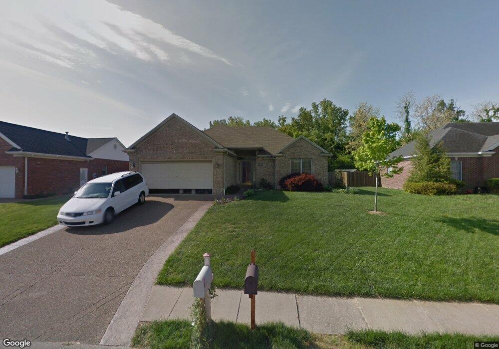
10655 Brookside Dr Newburgh, IN 47630
Estimated Value: $270,611 - $293,000
3
Beds
3
Baths
1,548
Sq Ft
$180/Sq Ft
Est. Value
About This Home
This home is located at 10655 Brookside Dr, Newburgh, IN 47630 and is currently estimated at $278,903, approximately $180 per square foot. 10655 Brookside Dr is a home located in Warrick County with nearby schools including Newburgh Elementary School, Castle North Middle School, and Castle High School.
Ownership History
Date
Name
Owned For
Owner Type
Purchase Details
Closed on
Jan 4, 2024
Sold by
Fisher Gary A
Bought by
Fisher Gary A and Fisher Dena Gale
Current Estimated Value
Purchase Details
Closed on
Sep 17, 2007
Sold by
Urtubi Ignacio
Bought by
Fisher Gary A
Home Financials for this Owner
Home Financials are based on the most recent Mortgage that was taken out on this home.
Original Mortgage
$60,000
Interest Rate
6.44%
Mortgage Type
New Conventional
Create a Home Valuation Report for This Property
The Home Valuation Report is an in-depth analysis detailing your home's value as well as a comparison with similar homes in the area
Home Values in the Area
Average Home Value in this Area
Purchase History
| Date | Buyer | Sale Price | Title Company |
|---|---|---|---|
| Fisher Gary A | -- | None Listed On Document | |
| Fisher Gary A | -- | None Available |
Source: Public Records
Mortgage History
| Date | Status | Borrower | Loan Amount |
|---|---|---|---|
| Previous Owner | Fisher Gary A | $60,000 |
Source: Public Records
Tax History Compared to Growth
Tax History
| Year | Tax Paid | Tax Assessment Tax Assessment Total Assessment is a certain percentage of the fair market value that is determined by local assessors to be the total taxable value of land and additions on the property. | Land | Improvement |
|---|---|---|---|---|
| 2024 | $1,528 | $215,500 | $22,200 | $193,300 |
| 2023 | $1,455 | $209,900 | $22,200 | $187,700 |
| 2022 | $1,338 | $189,800 | $26,600 | $163,200 |
| 2021 | $1,053 | $151,800 | $21,300 | $130,500 |
| 2020 | $1,024 | $140,600 | $19,800 | $120,800 |
| 2019 | $1,027 | $135,900 | $19,800 | $116,100 |
| 2018 | $873 | $127,800 | $19,800 | $108,000 |
| 2017 | $798 | $121,600 | $19,800 | $101,800 |
| 2016 | $812 | $123,400 | $19,800 | $103,600 |
| 2014 | $774 | $127,400 | $19,300 | $108,100 |
| 2013 | $779 | $129,700 | $19,200 | $110,500 |
Source: Public Records
Map
Nearby Homes
- 6066 Indian Dr
- 5833 Lenbeck Rd
- 6077 River Bluff Dr
- 5655 Garden Valley Rd
- 10386 Regent Ct
- 9954 Monte Way
- 9860 Pollack Ave
- 5111 Tippecanoe Dr
- 5633 Byerson Dr
- 7920 Newburgh Rd
- 1014 Kingswood Dr
- 4940 Penrose Dr
- 9655 Arlington Ct
- 7508 Julius Ct
- 4893 Penrose Dr
- 4856 Marble Dr
- Lot 11 Westbriar Cir
- Lot 33 Westbriar Cir
- 7535 Jagger Ct
- 7520 Jagger Ct
- 10677 Brookside Dr
- 10633 Brookside Dr
- 10699 Brookside Dr
- 10611 Brookside Dr
- 10666 Brookside Dr
- 10688 Brookside Dr
- 10644 Brookside Dr
- 10599 Brookside Dr
- 10711 Brookside Dr
- 10622 Brookside Dr
- 10700 Brookside Dr
- 10600 Brookside Dr
- 10577 Brookside Dr
- 10655 Willow Creek Rd
- 10677 Willow Creek Rd
- 10633 Willow Creek Rd
- 10699 Willow Creek Rd
- 10588 Brookside Dr
- 10611 Willow Creek Rd
- 10622 Pollack Ave