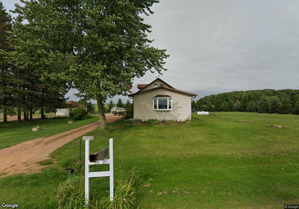
10659 Day Rd Marshfield, WI 54449
Estimated Value: $224,675 - $326,000
Studio
--
Bath
--
Sq Ft
73,181
Sq Ft Lot
About This Home
This home is located at 10659 Day Rd, Marshfield, WI 54449 and is currently estimated at $276,919. 10659 Day Rd is a home located in Wood County with nearby schools including Marshfield High School and St. Mary School.
Ownership History
Date
Name
Owned For
Owner Type
Purchase Details
Closed on
Dec 1, 2023
Sold by
Hamus Justin M and Hamus Stevana
Bought by
Hasenohrl Isaiah M
Current Estimated Value
Purchase Details
Closed on
Jul 20, 2010
Sold by
Deming Marc J
Bought by
Hamus Justin M
Home Financials for this Owner
Home Financials are based on the most recent Mortgage that was taken out on this home.
Original Mortgage
$109,200
Interest Rate
4.74%
Mortgage Type
Purchase Money Mortgage
Purchase Details
Closed on
Sep 7, 2007
Sold by
Deming Mare J and Deming Cathleen D
Bought by
Deming Mare J
Create a Home Valuation Report for This Property
The Home Valuation Report is an in-depth analysis detailing your home's value as well as a comparison with similar homes in the area
Purchase History
| Date | Buyer | Sale Price | Title Company |
|---|---|---|---|
| Hasenohrl Isaiah M | $230,000 | Ashlee Sayre | |
| Hamus Justin M | $136,500 | Vanguard Titele Llc | |
| Deming Mare J | -- | None Available |
Source: Public Records
Mortgage History
| Date | Status | Borrower | Loan Amount |
|---|---|---|---|
| Previous Owner | Hamus Justin M | $109,200 |
Source: Public Records
Tax History
| Year | Tax Paid | Tax Assessment Tax Assessment Total Assessment is a certain percentage of the fair market value that is determined by local assessors to be the total taxable value of land and additions on the property. | Land | Improvement |
|---|---|---|---|---|
| 2025 | $2,504 | $193,300 | $26,800 | $166,500 |
| 2024 | $2,401 | $193,300 | $26,800 | $166,500 |
| 2023 | $2,339 | $193,300 | $26,800 | $166,500 |
| 2022 | $2,384 | $193,300 | $26,800 | $166,500 |
| 2021 | $2,366 | $136,500 | $17,000 | $119,500 |
| 2020 | $2,369 | $136,500 | $17,000 | $119,500 |
| 2019 | $2,300 | $136,500 | $17,000 | $119,500 |
| 2018 | $2,283 | $136,500 | $17,000 | $119,500 |
| 2017 | $2,320 | $136,500 | $17,000 | $119,500 |
| 2016 | $2,282 | $136,500 | $17,000 | $119,500 |
| 2015 | $2,352 | $136,500 | $17,000 | $119,500 |
Source: Public Records
Map
Nearby Homes
- 10758 W 9th St
- 10477 County Road A Unit Parcels 0300051,0300
- 8201 County Road Y
- 2104 S Cottonwood Ave Unit GR35
- 5772 Main St
- 1540 E 20th St
- 1501 E 23rd St
- 1504 E 23rd St
- 1503 E 23rd St Unit GR40
- 4.89 Acres At N Galvin Ave
- 8188 County Road Ee
- 1405 E 29th St
- 2200 S Cottonwood Ave Unit GR37
- 2106 S Cottonwood Ave
- 2107 Ironwood Dr Unit GR42
- 2109 Ironwood Dr Unit GR41
- 1507 Green Acres Dr
- 2103 Ironwood Dr Unit GR44
- 1513 E 20th St
- 521 N Auburn Ave
- 10745 Day Rd
- 7368 Old Highway 10
- 10690 S Rondivoo Rd
- 7402 Old Highway 10
- 7160 Old Highway 10
- 10691 S Rondivoo Rd
- 10796 S Rondivoo Rd
- 7042 Old Highway 10
- 7501 Marshfield Rd
- 10390 Day Rd
- 7390 Yellowstone Dr
- 6920 Old Highway 10
- 7497 Yellowstone Dr
- 7050 Yellowstone Dr
- 7100 Yellowstone Dr
- 7197 Yellowstone Dr
- 10515 Rock Inn Rd
- 10949 Day Rd
- 10503 Rock Inn Rd
- 10959 Day Rd
Your Personal Tour Guide
Ask me questions while you tour the home.