10659 W Marker Path Homosassa, FL 34448
Estimated Value: $207,161 - $289,000
2
Beds
1
Bath
600
Sq Ft
$417/Sq Ft
Est. Value
About This Home
This home is located at 10659 W Marker Path, Homosassa, FL 34448 and is currently estimated at $250,290, approximately $417 per square foot. 10659 W Marker Path is a home located in Citrus County with nearby schools including Homosassa Elementary School, Crystal River High School, and Crystal River Middle School.
Ownership History
Date
Name
Owned For
Owner Type
Purchase Details
Closed on
Mar 1, 1993
Bought by
Taylor Jessee C and Taylor Linda F
Current Estimated Value
Purchase Details
Closed on
Jun 1, 1990
Bought by
Taylor Jessee C and Taylor Linda F
Purchase Details
Closed on
Sep 1, 1989
Bought by
Taylor Jessee C and Taylor Linda F
Purchase Details
Closed on
Oct 1, 1987
Bought by
Taylor Jessee C and Taylor Linda F
Purchase Details
Closed on
Dec 1, 1985
Bought by
Taylor Jessee C and Taylor Linda F
Create a Home Valuation Report for This Property
The Home Valuation Report is an in-depth analysis detailing your home's value as well as a comparison with similar homes in the area
Home Values in the Area
Average Home Value in this Area
Purchase History
| Date | Buyer | Sale Price | Title Company |
|---|---|---|---|
| Taylor Jessee C | $68,000 | -- | |
| Taylor Jessee C | $21,000 | -- | |
| Taylor Jessee C | $17,000 | -- | |
| Taylor Jessee C | $100 | -- | |
| Taylor Jessee C | $4,200 | -- |
Source: Public Records
Tax History Compared to Growth
Tax History
| Year | Tax Paid | Tax Assessment Tax Assessment Total Assessment is a certain percentage of the fair market value that is determined by local assessors to be the total taxable value of land and additions on the property. | Land | Improvement |
|---|---|---|---|---|
| 2024 | $2,441 | $179,808 | $26,360 | $153,448 |
| 2023 | $2,441 | $122,767 | $0 | $0 |
| 2022 | $2,119 | $152,416 | $26,360 | $126,056 |
| 2021 | $1,751 | $107,234 | $23,830 | $83,404 |
| 2020 | $1,649 | $106,048 | $23,830 | $82,218 |
| 2019 | $1,543 | $98,783 | $23,460 | $75,323 |
| 2018 | $1,386 | $85,083 | $23,460 | $61,623 |
| 2017 | $1,254 | $70,945 | $19,070 | $51,875 |
| 2016 | $1,203 | $67,006 | $19,070 | $47,936 |
| 2015 | $1,087 | $58,353 | $18,970 | $39,383 |
| 2014 | $1,103 | $58,460 | $21,527 | $36,933 |
Source: Public Records
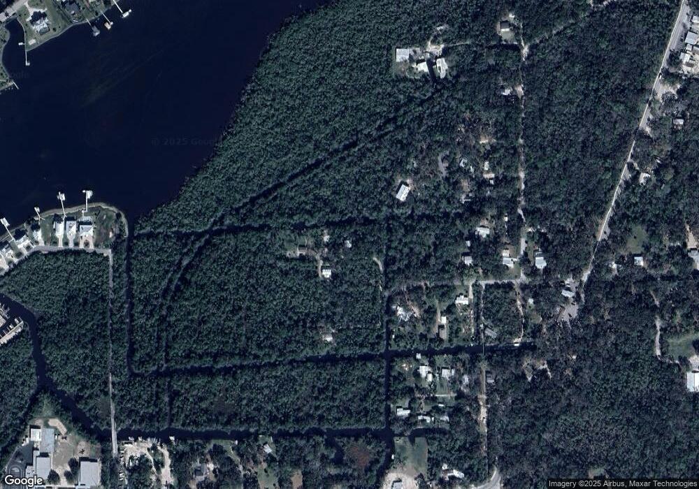
Map
Nearby Homes
- 10714 W Marker Path
- 5211 S Court Ave
- 10863 W Xanadu Path
- 5410 S Magnolia Ave
- 10370 W Yulee Dr
- 0 Dunn & Pennsylvania St Unit MFRTB8399686
- 0 Dunn & Pennsylvania St Unit 2254226
- 10469 W Main St
- 10844 W Yulee Dr
- 5297 S Cherokee Way Unit 104
- 10321 W Central St
- 10600 and 10603 W Oliver St
- 10684 W Halls River Rd Unit 2
- 5550 S Coral Bells Ave
- 10990 and 11000 W Seminole Place
- 5215 S Swiftwater Way Unit 3
- 5291 S Cherokee Way
- 10388 W Pennsylvania St
- 4843 S Acree Point
- 5180 S Gray Pelican Way
- 10660 W Marker Path
- 10693 W Marker Path
- 10678 W Marker Path
- 10636 W Marker Path
- 10675 W Paros Path
- 10734 W Marker Path
- 10610 W New York St
- 10590 W Virginia St
- 10660 W Paros Path
- 10632 W Virginia St
- 10636 W Paros Path
- 10725 W Virginia St
- 10572 W Virginia St
- 10552 W Waterside St
- 10550 W New York St
- 10572 W New York St
- 10540 W Fayette St
- 10690 W Caladonia St
- 10825 Fayette