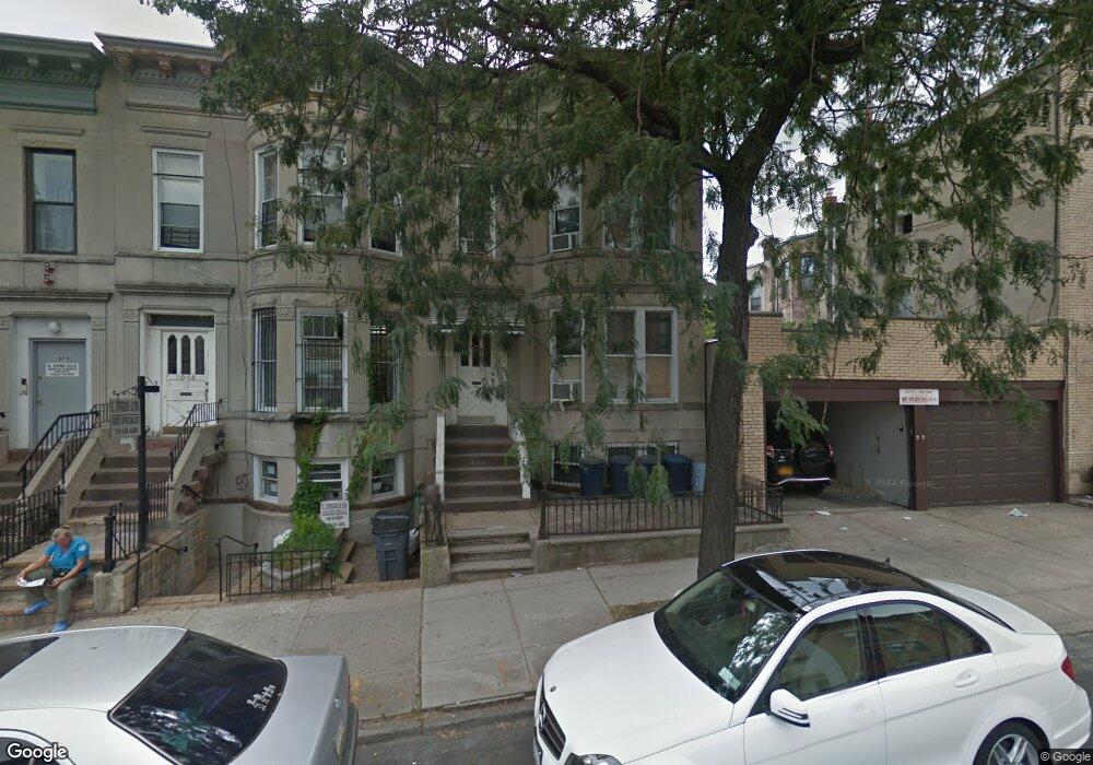
1066 48th St Brooklyn, NY 11219
Borough Park NeighborhoodEstimated Value: $1,663,303 - $2,426,000
--
Bed
--
Bath
2,800
Sq Ft
$693/Sq Ft
Est. Value
About This Home
This home is located at 1066 48th St, Brooklyn, NY 11219 and is currently estimated at $1,940,076, approximately $692 per square foot. 1066 48th St is a home located in Kings County with nearby schools including P.S. 160 William T Sampson School, IS 220 John J. Pershing, and Franklin Delano Roosevelt High School.
Ownership History
Date
Name
Owned For
Owner Type
Purchase Details
Closed on
Oct 17, 2006
Sold by
Merenda As Sole Surviving Int Vincent
Bought by
Merenda His Wife Jill and Merenda Vincent
Current Estimated Value
Purchase Details
Closed on
Jul 18, 1995
Sold by
Merenda Frances
Bought by
Merenda Robert
Create a Home Valuation Report for This Property
The Home Valuation Report is an in-depth analysis detailing your home's value as well as a comparison with similar homes in the area
Home Values in the Area
Average Home Value in this Area
Purchase History
| Date | Buyer | Sale Price | Title Company |
|---|---|---|---|
| Merenda His Wife Jill | -- | -- | |
| Merenda His Wife Jill | -- | -- | |
| Merenda Robert | -- | Commonwealth Land Title Ins | |
| Merenda Robert | -- | Commonwealth Land Title Ins |
Source: Public Records
Tax History Compared to Growth
Tax History
| Year | Tax Paid | Tax Assessment Tax Assessment Total Assessment is a certain percentage of the fair market value that is determined by local assessors to be the total taxable value of land and additions on the property. | Land | Improvement |
|---|---|---|---|---|
| 2025 | $9,429 | $99,840 | $25,680 | $74,160 |
| 2024 | $9,429 | $88,440 | $25,680 | $62,760 |
| 2023 | $8,978 | $100,740 | $25,680 | $75,060 |
| 2022 | $7,929 | $87,660 | $25,680 | $61,980 |
| 2021 | $8,798 | $85,920 | $25,680 | $60,240 |
| 2020 | $8,743 | $62,580 | $25,680 | $36,900 |
| 2019 | $8,135 | $62,580 | $25,680 | $36,900 |
| 2018 | $7,450 | $38,006 | $11,644 | $26,362 |
| 2017 | $7,083 | $36,216 | $15,034 | $21,182 |
| 2016 | $6,930 | $36,216 | $17,436 | $18,780 |
| 2015 | $3,901 | $35,586 | $17,266 | $18,320 |
| 2014 | $3,901 | $33,572 | $18,457 | $15,115 |
Source: Public Records
Map
Nearby Homes
- 4906 Fort Hamilton Pkwy
- 1117 51st St
- 982 50th St Unit 5A
- 4726 New Utrecht Ave
- 4709 New Utrecht Ave
- 977 52nd St
- 975 52nd St
- 4518 11th Ave
- 932 52nd St
- 914 51st St
- 901 50th St Unit 4A
- 1025 45th St Unit 4D
- 1025 45th St Unit 3F
- 913 48th St
- 4409 New Utrecht Ave
- 911 48th St
- 956 54th St
- 969 55th St
- 946 54th St
- 902 46th St
- 1068 48th St
- 1070 48th St
- 1072 48th St
- 4805 Fort Hamilton Pkwy
- 4803 Fort Hamilton Pkwy
- 4807 Fort Hamilton Pkwy
- 4801 Fort Hamilton Pkwy Unit 48 St
- 4801 Fort Hamilton Pkwy
- 4809 Fort Hamilton Pkwy
- 1065 49th St
- 1063 49th St
- 1067 49th St
- 4811 Fort Hamilton Pkwy Unit 2
- 1069 49th St
- 4815 Fort Hamilton Pkwy
- 4815 Fort Hamilton Pkwy Unit 3
- 1071 49th St
- 4806 11th Ave
- 4804 11th Ave
- 4810 11th Ave