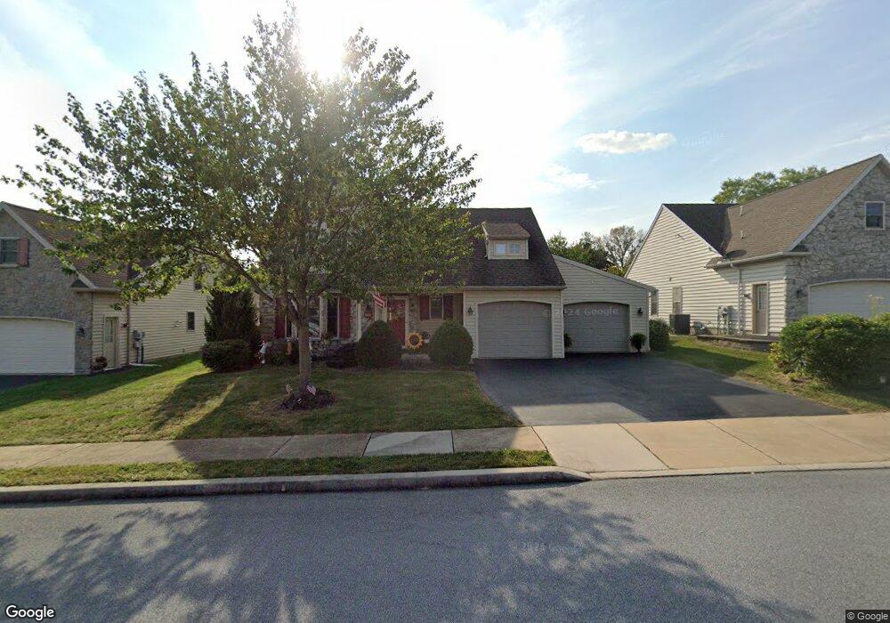
1066 Cambridge Dr Unit 61 Manheim, PA 17545
Estimated Value: $378,000 - $397,000
2
Beds
3
Baths
2,328
Sq Ft
$166/Sq Ft
Est. Value
About This Home
This home is located at 1066 Cambridge Dr Unit 61, Manheim, PA 17545 and is currently estimated at $385,842, approximately $165 per square foot. 1066 Cambridge Dr Unit 61 is a home located in Lancaster County with nearby schools including Manheim Central Senior High School, Manheim Christian Day School, and Sporting Hill Christian School.
Ownership History
Date
Name
Owned For
Owner Type
Purchase Details
Closed on
Dec 15, 2021
Sold by
Cornelius Debra L
Bought by
Buffington Barbara J
Current Estimated Value
Purchase Details
Closed on
Sep 26, 2014
Sold by
Sheneberger Pamela S and Floyd Pamela S
Bought by
Cornelius Debra L
Purchase Details
Closed on
Mar 22, 2012
Sold by
Eshleman J David and Eshleman Helen M
Bought by
Floyd Pamela S
Home Financials for this Owner
Home Financials are based on the most recent Mortgage that was taken out on this home.
Original Mortgage
$92,000
Interest Rate
3.88%
Mortgage Type
New Conventional
Purchase Details
Closed on
Jun 16, 2006
Sold by
Brookshire Properties Lp
Bought by
Eshleman J David and Eshleman Helen M
Create a Home Valuation Report for This Property
The Home Valuation Report is an in-depth analysis detailing your home's value as well as a comparison with similar homes in the area
Home Values in the Area
Average Home Value in this Area
Purchase History
| Date | Buyer | Sale Price | Title Company |
|---|---|---|---|
| Buffington Barbara J | $301,000 | None Listed On Document | |
| Cornelius Debra L | $192,500 | None Available | |
| Floyd Pamela S | $182,000 | None Available | |
| Eshleman J David | $196,070 | First American Title Ins Co |
Source: Public Records
Mortgage History
| Date | Status | Borrower | Loan Amount |
|---|---|---|---|
| Previous Owner | Floyd Pamela S | $92,000 |
Source: Public Records
Tax History Compared to Growth
Tax History
| Year | Tax Paid | Tax Assessment Tax Assessment Total Assessment is a certain percentage of the fair market value that is determined by local assessors to be the total taxable value of land and additions on the property. | Land | Improvement |
|---|---|---|---|---|
| 2025 | $4,204 | $206,200 | -- | $206,200 |
| 2024 | $4,204 | $206,200 | -- | $206,200 |
| 2023 | $4,115 | $206,200 | $0 | $206,200 |
| 2022 | $4,010 | $206,200 | $0 | $206,200 |
| 2021 | $3,919 | $206,200 | $0 | $206,200 |
| 2020 | $3,919 | $206,200 | $0 | $206,200 |
| 2019 | $3,851 | $206,200 | $0 | $206,200 |
| 2018 | $2,839 | $206,200 | $0 | $206,200 |
| 2017 | $3,690 | $158,300 | $0 | $158,300 |
| 2016 | $3,690 | $158,300 | $0 | $158,300 |
| 2015 | $876 | $156,400 | $0 | $156,400 |
| 2014 | $2,566 | $156,400 | $0 | $156,400 |
Source: Public Records
Map
Nearby Homes
- 421 Rosewood Dr
- 538 Brookshire Ave
- 732 Heather Ridge Unit 147
- 981 Cambridge Dr
- 554 Mallard Dr
- 461 Thrush Dr
- 609 Hamaker Rd
- 655 White Oak Rd
- 239 E High St
- 121 Mill St
- 188 N Main St
- 123 S Main St
- 125 S Main St
- 108 110 S Main St
- 27 W Ferdinand St
- 90 Penn Valley Village
- 8 Penn Valley Village
- 33 W Ferdinand St
- 37 W Ferdinand St
- 162 N Charlotte St
- 1066 Cambridge Dr
- 1072 Cambridge Dr
- 1072 Cambridge Dr Unit 63
- 1058 Cambridge Dr
- 1058 Cambridge Dr Unit 59
- 1071 Cambridge Dr Unit 126
- 1061 Cambridge Dr
- 1061 Cambridge Dr Unit 124
- 1073 Cambridge Dr Unit 127
- 1057 Cambridge Dr Unit 123
- 1054 Cambridge Dr Unit 58
- 1080 Cambridge Dr Unit 65
- 1077 Cambridge Dr
- 1077 Cambridge Dr Unit 128
- 1045 Cambridge Dr Unit 122
- 1050 Cambridge Dr
- 1050 Cambridge Dr Unit 57
- 1084 Cambridge Dr
- 1084 Cambridge Dr Unit 66
- 123 N Penryn Rd