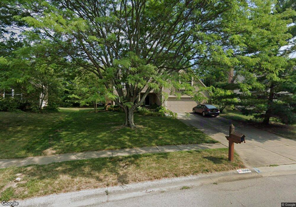
1066 Cannonade Ct Columbus, OH 43230
Estimated Value: $522,000 - $560,492
4
Beds
3
Baths
2,691
Sq Ft
$201/Sq Ft
Est. Value
About This Home
This home is located at 1066 Cannonade Ct, Columbus, OH 43230 and is currently estimated at $539,873, approximately $200 per square foot. 1066 Cannonade Ct is a home located in Franklin County with nearby schools including High Point Elementary School, Gahanna East Middle School, and Lincoln High School.
Ownership History
Date
Name
Owned For
Owner Type
Purchase Details
Closed on
Jul 1, 2021
Sold by
Adams Patrick W and Adams Karen L
Bought by
Adams Patrick W and Adams Karen L
Current Estimated Value
Purchase Details
Closed on
Mar 31, 1992
Bought by
Adams Patrick W and Adams Karen L
Create a Home Valuation Report for This Property
The Home Valuation Report is an in-depth analysis detailing your home's value as well as a comparison with similar homes in the area
Home Values in the Area
Average Home Value in this Area
Purchase History
| Date | Buyer | Sale Price | Title Company |
|---|---|---|---|
| Adams Patrick W | -- | None Available | |
| Adams Patrick W | $186,900 | -- |
Source: Public Records
Tax History Compared to Growth
Tax History
| Year | Tax Paid | Tax Assessment Tax Assessment Total Assessment is a certain percentage of the fair market value that is determined by local assessors to be the total taxable value of land and additions on the property. | Land | Improvement |
|---|---|---|---|---|
| 2024 | $10,569 | $179,410 | $43,890 | $135,520 |
| 2023 | $10,437 | $179,410 | $43,890 | $135,520 |
| 2022 | $8,860 | $118,650 | $21,000 | $97,650 |
| 2021 | $8,570 | $118,650 | $21,000 | $97,650 |
| 2020 | $8,498 | $118,650 | $21,000 | $97,650 |
| 2019 | $7,117 | $99,160 | $17,500 | $81,660 |
| 2018 | $6,738 | $99,160 | $17,500 | $81,660 |
| 2017 | $6,468 | $99,160 | $17,500 | $81,660 |
| 2016 | $6,405 | $88,550 | $15,610 | $72,940 |
| 2015 | $6,410 | $88,550 | $15,610 | $72,940 |
| 2014 | $6,360 | $88,550 | $15,610 | $72,940 |
| 2013 | $3,158 | $88,550 | $15,610 | $72,940 |
Source: Public Records
Map
Nearby Homes
- 636 Grove Cir Unit 1803
- 4220 E Johnstown Rd
- 0 Beecher Crossing
- 1199 Riva Ridge Blvd
- 777 Dark Star Ave
- 4574 N Hamilton Rd
- 638 Churchill Dr
- 597 Piney Glen Dr Unit 597
- 804 Riva Ridge Blvd
- 4651 E Johnstown Rd
- 1035 Riva Ridge Blvd
- 6019 Bentgate Ln Unit 60192
- 900 Old Pine Dr
- 3753 Brightwell Ln
- 6263 Wagtail Rd Unit 13
- 6200 Downwing Ln Unit 20
- 6169 Needletail Rd
- 641 Sycamore Mill Dr
- 3826 Wood Stork Ln Unit 68
- 6232 Joes Hopper Rd Unit 52
- 1064 Cannonade Ct
- 1068 Cannonade Ct
- 1062 Cannonade Ct
- 1070 Cannonade Ct
- 1065 Cannonade Ct
- 1063 Cannonade Ct
- 1071 Cannonade Ct
- 4424 E Johnstown Rd
- 1072 Cannonade Ct
- 1060 Cannonade Ct
- 1059 Cannonade Ct
- 1073 Cannonade Ct
- 1074 Cannonade Ct
- 1057 Cannonade Ct
- 1021 Arcaro Dr
- 1058 Cannonade Ct
- 1019 Arcaro Dr
- 1085 E Johnstown Rd
- 1075 Cannonade Ct
- 1025 Arcaro Dr