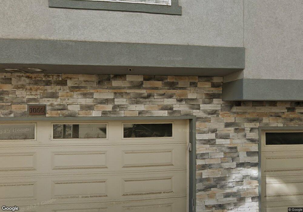
1066 E 1060 S Unit 21 Provo, UT 84606
Provost NeighborhoodEstimated Value: $413,000 - $456,000
3
Beds
3
Baths
1,920
Sq Ft
$224/Sq Ft
Est. Value
About This Home
This home is located at 1066 E 1060 S Unit 21, Provo, UT 84606 and is currently estimated at $430,089, approximately $224 per square foot. 1066 E 1060 S Unit 21 is a home located in Utah County with nearby schools including Spring Creek Elementary School, Centennial Middle School, and Timpview High School.
Ownership History
Date
Name
Owned For
Owner Type
Purchase Details
Closed on
Sep 28, 2020
Sold by
Dre Properties Llc
Bought by
Uv Properties Llc
Current Estimated Value
Purchase Details
Closed on
Jul 13, 2020
Sold by
Delong Gary I
Bought by
Dre Properties Llc
Home Financials for this Owner
Home Financials are based on the most recent Mortgage that was taken out on this home.
Original Mortgage
$635,000
Interest Rate
3.1%
Mortgage Type
VA
Purchase Details
Closed on
Jun 8, 2020
Sold by
Spring Creek Townhomes Phase 2 Inc
Bought by
Delong Gary I and The Gary I Delong Trust
Home Financials for this Owner
Home Financials are based on the most recent Mortgage that was taken out on this home.
Original Mortgage
$635,000
Interest Rate
3.1%
Mortgage Type
VA
Create a Home Valuation Report for This Property
The Home Valuation Report is an in-depth analysis detailing your home's value as well as a comparison with similar homes in the area
Home Values in the Area
Average Home Value in this Area
Purchase History
| Date | Buyer | Sale Price | Title Company |
|---|---|---|---|
| Uv Properties Llc | -- | None Available | |
| Dre Properties Llc | -- | Real Advantage Title | |
| Delong Gary I | -- | Provo Land Title Company |
Source: Public Records
Mortgage History
| Date | Status | Borrower | Loan Amount |
|---|---|---|---|
| Previous Owner | Dre Properties Llc | $635,000 | |
| Previous Owner | Delong Gary I | $204,750 |
Source: Public Records
Tax History
| Year | Tax Paid | Tax Assessment Tax Assessment Total Assessment is a certain percentage of the fair market value that is determined by local assessors to be the total taxable value of land and additions on the property. | Land | Improvement |
|---|---|---|---|---|
| 2025 | $2,248 | $220,330 | -- | -- |
| 2024 | $2,248 | $221,320 | $0 | $0 |
| 2023 | $2,243 | $217,690 | $0 | $0 |
| 2022 | $2,273 | $222,365 | $0 | $0 |
| 2021 | $1,781 | $304,000 | $45,600 | $258,400 |
| 2020 | $1,900 | $304,000 | $45,600 | $258,400 |
Source: Public Records
Map
Nearby Homes
- 1156 S 1000 E
- 984 E 900 S
- 1184 S 1000 E
- 976 E 1230 S
- 1263 S 1000 E
- 1332 Cinnamon Ridge Way
- 1304 E 900 S
- 1169 E 700 S
- 1141 E 1320 S Unit A404
- 1141 E 1320 S Unit B401
- 1141 E 1320 S Unit D104
- 1141 E 1320 S Unit D303
- 1141 E 1320 S Unit 302
- 931 S 700 St E
- 1154 S 1430 E
- 1347 S 1370 E
- 1245 E 580 S
- 1417 E 700 S
- 1482 E 1280 S
- 1261 E 1500 S
- 1074 E 1060 S Unit 22
- 1067 E 1060 S
- 1061 E 1060 S
- 1073 E 1060 S Unit 23
- 1050 E 1060 S Unit 18
- 1055 E 1060 S
- 1049 E 1060 S Unit 27
- 1044 E 1060 S
- 1027 E 1060 S
- 1043 E 1060 S
- 1033 E 1060 S
- 1030 S State St
- 1024 E 1060 S
- 1021 E 1060 S
- 1018 E 1060 S
- 1012 E 1060 S
- 1042 S 950 E
- 1042 S 950 E Unit 44
- 1042 S 950 E Unit 42
- 1042 S 950 E Unit 43
Your Personal Tour Guide
Ask me questions while you tour the home.