Estimated Value: $481,624 - $492,000
2
Beds
2
Baths
1,753
Sq Ft
$277/Sq Ft
Est. Value
About This Home
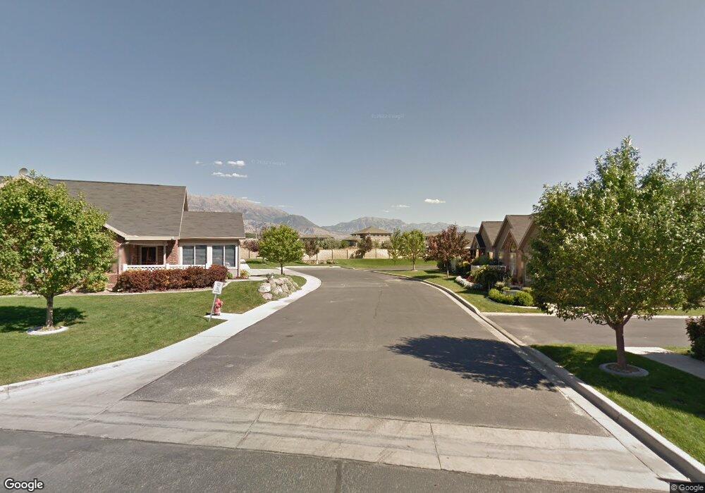
This home is located at 1066 E 310 N Unit J1, Lehi, UT 84043 and is currently estimated at $486,208, approximately $277 per square foot. 1066 E 310 N Unit J1 is a home located in Utah County with nearby schools including Sego Lily Elementary School, Lehi Junior High School, and Skyridge High School.
Ownership History
Date
Name
Owned For
Owner Type
Purchase Details
Closed on
Jun 10, 2019
Sold by
The R & M Burningham Trust
Bought by
Loscutoff Pamela Kay
Current Estimated Value
Home Financials for this Owner
Home Financials are based on the most recent Mortgage that was taken out on this home.
Original Mortgage
$225,400
Outstanding Balance
$198,579
Interest Rate
4.2%
Mortgage Type
New Conventional
Estimated Equity
$287,629
Purchase Details
Closed on
Jul 31, 2006
Sold by
Leisure Villas Inc
Bought by
Burningham Ray Lester and Burningham Margie B
Create a Home Valuation Report for This Property
The Home Valuation Report is an in-depth analysis detailing your home's value as well as a comparison with similar homes in the area
Home Values in the Area
Average Home Value in this Area
Purchase History
| Date | Buyer | Sale Price | Title Company |
|---|---|---|---|
| Loscutoff Pamela Kay | -- | Utah First Title Ins Agcy | |
| Burningham Ray Lester | -- | Merrill Title Company |
Source: Public Records
Mortgage History
| Date | Status | Borrower | Loan Amount |
|---|---|---|---|
| Open | Loscutoff Pamela Kay | $225,400 |
Source: Public Records
Tax History
| Year | Tax Paid | Tax Assessment Tax Assessment Total Assessment is a certain percentage of the fair market value that is determined by local assessors to be the total taxable value of land and additions on the property. | Land | Improvement |
|---|---|---|---|---|
| 2025 | $2,074 | $247,335 | -- | -- |
| 2024 | $2,074 | $242,770 | $0 | $0 |
| 2023 | $1,880 | $238,865 | $0 | $0 |
| 2022 | $1,936 | $238,535 | $0 | $0 |
| 2021 | $1,751 | $326,100 | $48,900 | $277,200 |
| 2020 | $1,726 | $317,800 | $47,700 | $270,100 |
| 2019 | $1,458 | $279,100 | $41,900 | $237,200 |
| 2018 | $1,366 | $247,100 | $37,100 | $210,000 |
| 2017 | $1,413 | $135,905 | $0 | $0 |
| 2016 | $1,451 | $129,525 | $0 | $0 |
| 2015 | $1,529 | $129,525 | $0 | $0 |
| 2014 | $1,332 | $112,200 | $0 | $0 |
Source: Public Records
Map
Nearby Homes
- 499 N 1520 E
- 551 N 1520 E
- 556 N 1440 E
- 890 N Whipple Dr
- 595 S 600 E
- 1076 W State Rd Unit 204
- 484 N 950 W Unit 7
- 1175 E 900 N
- 398 S 730 E
- 633 E 380 S
- 509 E 300 S
- 822 N 860 W Unit 317
- 822 W 800 St N Unit LOT319
- 3947 W 1000 N Unit 439
- 3971 W 1000 N Unit 441
- 3959 W 1000 N
- 3995 W 1000 N
- 160 E 400 N
- 764 W 880 North St Unit 308
- 777 W State Rd
- 1066 E 310 N Unit J4
- 1066 E 310 N Unit J3
- 1066 E 310 N Unit J2
- 1066 E 310 N Unit 3
- 1066 E 310 N Unit J
- 1036 E 310 N Unit K4
- 1036 E 310 N Unit 3
- 1098 E 310 N Unit 14
- 1098 E 310 N Unit I1
- 1098 E 310 N Unit I3
- 1098 E 310 N Unit I2
- 336 N 1030 E Unit T-3
- 336 N 1030 E Unit T1
- 336 N 1030 E Unit 2
- 336 N 1030 E Unit T4
- 1024 E State St
- 344 N 1100 E Unit G1
- 344 N 1100 E Unit G3
- 344 N 1100 E Unit 2
- 344 N 1100 E Unit G4
Your Personal Tour Guide
Ask me questions while you tour the home.