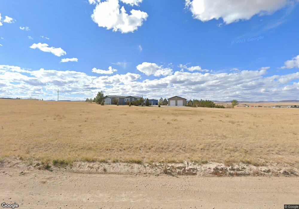
1066 McDonald Rd Cheyenne, WY 82009
Estimated Value: $420,366 - $468,000
--
Bed
--
Bath
1,512
Sq Ft
$298/Sq Ft
Est. Value
About This Home
This home is located at 1066 McDonald Rd, Cheyenne, WY 82009 and is currently estimated at $450,789, approximately $298 per square foot. 1066 McDonald Rd is a home with nearby schools including Gilchrist Elementary School, McCormick Junior High School, and Central High School.
Ownership History
Date
Name
Owned For
Owner Type
Purchase Details
Closed on
Sep 13, 2005
Sold by
Poulin Daryl E and Poulin Deborah A
Bought by
Brothers Brian K
Current Estimated Value
Home Financials for this Owner
Home Financials are based on the most recent Mortgage that was taken out on this home.
Original Mortgage
$167,526
Outstanding Balance
$89,796
Interest Rate
5.88%
Mortgage Type
VA
Estimated Equity
$360,993
Create a Home Valuation Report for This Property
The Home Valuation Report is an in-depth analysis detailing your home's value as well as a comparison with similar homes in the area
Home Values in the Area
Average Home Value in this Area
Purchase History
| Date | Buyer | Sale Price | Title Company |
|---|---|---|---|
| Brothers Brian K | -- | -- |
Source: Public Records
Mortgage History
| Date | Status | Borrower | Loan Amount |
|---|---|---|---|
| Open | Brothers Brian K | $167,526 |
Source: Public Records
Tax History Compared to Growth
Tax History
| Year | Tax Paid | Tax Assessment Tax Assessment Total Assessment is a certain percentage of the fair market value that is determined by local assessors to be the total taxable value of land and additions on the property. | Land | Improvement |
|---|---|---|---|---|
| 2025 | $1,722 | $22,660 | $6,143 | $16,517 |
| 2024 | $1,722 | $28,624 | $8,191 | $20,433 |
| 2023 | $1,590 | $27,203 | $8,191 | $19,012 |
| 2022 | $1,290 | $22,196 | $6,339 | $15,857 |
| 2021 | $1,040 | $18,444 | $4,223 | $14,221 |
| 2020 | $841 | $15,530 | $2,978 | $12,552 |
| 2019 | $811 | $15,068 | $2,817 | $12,251 |
| 2018 | $749 | $14,267 | $2,817 | $11,450 |
| 2017 | $723 | $13,759 | $2,482 | $11,277 |
| 2016 | $594 | $11,841 | $2,417 | $9,424 |
| 2015 | $570 | $11,471 | $2,417 | $9,054 |
| 2014 | $569 | $11,411 | $2,434 | $8,977 |
Source: Public Records
Map
Nearby Homes
- 1113 Indiana Rd
- 985 Range Line Rd
- 0 Range Line Rd
- 1100 Brundage Rd
- Lot 99 Tennessee Rd
- 1102 Dusty Rd
- Tract 291 Boundary Rd
- TBD Boundary Rd
- Tract 295 S Carolina Rd
- Tract 300 S Carolina Rd
- Tract 234 Samoa Rd
- Lot 346 Carribean Rd
- Lot 340 Carribean Rd
- Lot 366 Carribean Rd
- Tract 334 Bering Rd
- 1092 Bade Rd
- TBD Bade Rd
- 1015 Bade Rd
- 1207 Road 113
- 1483 Gilchrist Rd
- 1138 Indiana Rd
- 1061 McDonald Rd
- 1072 McDonald Rd
- 1083 McDonald Rd
- 1147 Indiana Rd
- 1139 Indiana Rd
- 1130 Indiana Rd
- 1057 McDonald Rd
- 1163 Happy Jack Rd
- 1058 McDonald Rd
- 1065 McDonald Rd
- 1131 Indiana Rd
- 1076 McDonald Rd
- 1122 Indiana Rd
- 1139 Happy Jack Rd
- 1173 Happy Jack Rd
- 1148 Saint James Rd
- 1067 McDonald Rd
- 1142 Saint James Rd
- 1123 Indiana Rd