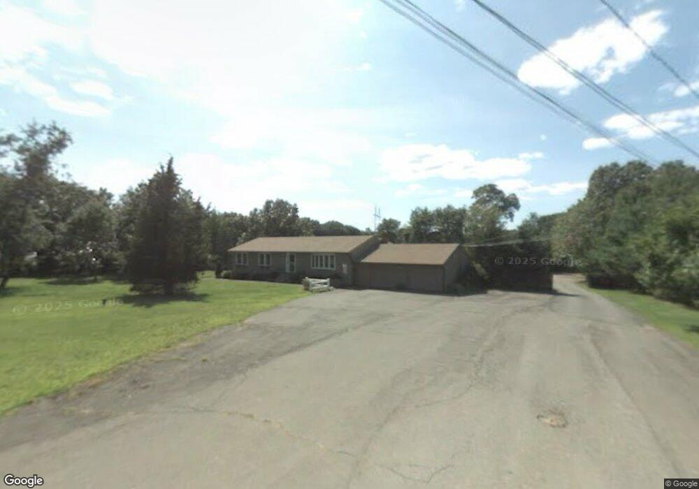
1066 Middletown Ave Northford, CT 06472
Estimated Value: $501,859 - $523,000
3
Beds
3
Baths
1,568
Sq Ft
$326/Sq Ft
Est. Value
About This Home
This home is located at 1066 Middletown Ave, Northford, CT 06472 and is currently estimated at $510,465, approximately $325 per square foot. 1066 Middletown Ave is a home located in New Haven County with nearby schools including Jerome Harrison School, Totoket Valley Elementary School, and North Branford Intermediate School.
Ownership History
Date
Name
Owned For
Owner Type
Purchase Details
Closed on
Oct 15, 2024
Sold by
Delloro Dino J and Delloro Mary R
Bought by
Dyer Patricia A
Current Estimated Value
Purchase Details
Closed on
Aug 28, 1986
Bought by
Delloro Dino J and Delloro Mary R
Create a Home Valuation Report for This Property
The Home Valuation Report is an in-depth analysis detailing your home's value as well as a comparison with similar homes in the area
Home Values in the Area
Average Home Value in this Area
Purchase History
| Date | Buyer | Sale Price | Title Company |
|---|---|---|---|
| Dyer Patricia A | -- | None Available | |
| Dyer Patricia A | -- | None Available | |
| Delloro Dino J | -- | -- |
Source: Public Records
Mortgage History
| Date | Status | Borrower | Loan Amount |
|---|---|---|---|
| Previous Owner | Delloro Dino J | $100,000 | |
| Previous Owner | Delloro Dino J | $71,745 | |
| Previous Owner | Delloro Dino J | $65,650 | |
| Previous Owner | Delloro Dino J | $91,880 |
Source: Public Records
Tax History Compared to Growth
Tax History
| Year | Tax Paid | Tax Assessment Tax Assessment Total Assessment is a certain percentage of the fair market value that is determined by local assessors to be the total taxable value of land and additions on the property. | Land | Improvement |
|---|---|---|---|---|
| 2025 | $9,368 | $339,300 | $120,700 | $218,600 |
| 2024 | $7,718 | $214,800 | $101,500 | $113,300 |
| 2023 | $7,415 | $214,800 | $101,500 | $113,300 |
| 2022 | $7,138 | $214,800 | $101,500 | $113,300 |
| 2021 | $7,118 | $214,800 | $101,500 | $113,300 |
| 2020 | $6,971 | $207,600 | $90,500 | $117,100 |
| 2019 | $6,946 | $207,600 | $90,500 | $117,100 |
| 2018 | $6,932 | $207,600 | $90,500 | $117,100 |
| 2017 | $6,957 | $207,600 | $90,500 | $117,100 |
| 2016 | $6,639 | $207,600 | $90,500 | $117,100 |
| 2015 | $6,916 | $222,800 | $99,900 | $122,900 |
| 2014 | $6,666 | $222,800 | $99,900 | $122,900 |
Source: Public Records
Map
Nearby Homes
- 201 Rimmon Rd
- 5 Stefania's Way Unit Lot 14
- 929 Totoket Rd
- 49 Pond Hill Rd Unit Lot 4
- 300 Mill Rd
- 45 Pond Hill Lot 3 Rd
- 804 Forest Rd
- 641-645 Forest Rd Unit Lot 4
- 641-645 Forest Rd Unit Lot 3
- 641-645 Forest Rd Unit Lot 2
- 641-645 Forest Rd Unit Lot 1
- 34 Birchwood Rd
- 2 Lombard Cir Unit 2
- 4 Lombard Cir Unit 4
- 20 Lombard Cir Unit 20
- 22 Lombard Cir Unit 22
- 107 Woodhouse Ave
- 84 Grove Rd
- 95 Blakeslee Ave
- 33 Postman Hwy
- 1068 Middletown Ave
- 1060 Middletown Ave
- 1070 Middletown Ave
- 1064 Middletown Ave
- 1038 Middletown Ave
- 1070-2 Middletown Ave
- 23 Sara Cir
- 1036 Middletown Ave
- 7 Elizabeth Terrace
- 11 Elizabeth Terrace
- 26 Sara Cir
- 1062 Middletown Ave
- 15 Elizabeth Terrace
- 20 Sara Cir
- 1072 Middletown Ave
- 6 Elizabeth Terrace
- 19 Elizabeth Terrace
- 36 Sara Cir
- 14 Sara Cir
- 7 Gail Dr