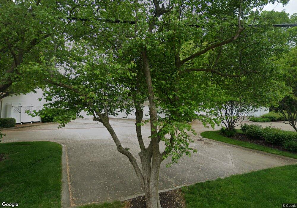
10660 N Southshore Dr Unit D2 Syracuse, IN 46567
Estimated Value: $605,143 - $744,000
3
Beds
2
Baths
2,019
Sq Ft
$341/Sq Ft
Est. Value
About This Home
This home is located at 10660 N Southshore Dr Unit D2, Syracuse, IN 46567 and is currently estimated at $688,286, approximately $340 per square foot. 10660 N Southshore Dr Unit D2 is a home located in Kosciusko County with nearby schools including Wawasee High School.
Ownership History
Date
Name
Owned For
Owner Type
Purchase Details
Closed on
May 3, 2010
Sold by
5993 E Island Avenue Llc
Bought by
Cornwell David D and Cornwell Mary M
Current Estimated Value
Home Financials for this Owner
Home Financials are based on the most recent Mortgage that was taken out on this home.
Original Mortgage
$120,000
Outstanding Balance
$80,431
Interest Rate
5.05%
Mortgage Type
New Conventional
Estimated Equity
$607,855
Purchase Details
Closed on
Apr 1, 2009
Sold by
Patricia H Bigg Who Took Title As P
Bought by
5993 E Island Avenue Llc
Create a Home Valuation Report for This Property
The Home Valuation Report is an in-depth analysis detailing your home's value as well as a comparison with similar homes in the area
Home Values in the Area
Average Home Value in this Area
Purchase History
| Date | Buyer | Sale Price | Title Company |
|---|---|---|---|
| Cornwell David D | -- | None Available | |
| 5993 E Island Avenue Llc | $400,000 | Lawyers Title Insurance Corp |
Source: Public Records
Mortgage History
| Date | Status | Borrower | Loan Amount |
|---|---|---|---|
| Open | Cornwell David D | $120,000 |
Source: Public Records
Tax History Compared to Growth
Tax History
| Year | Tax Paid | Tax Assessment Tax Assessment Total Assessment is a certain percentage of the fair market value that is determined by local assessors to be the total taxable value of land and additions on the property. | Land | Improvement |
|---|---|---|---|---|
| 2024 | $5,478 | $614,600 | $391,100 | $223,500 |
| 2023 | $4,938 | $543,100 | $360,000 | $183,100 |
| 2022 | $4,304 | $470,200 | $313,700 | $156,500 |
| 2021 | $2,294 | $424,700 | $268,300 | $156,400 |
| 2020 | $2,099 | $424,200 | $258,600 | $165,600 |
| 2019 | $2,374 | $425,800 | $268,000 | $157,800 |
| 2018 | $2,233 | $420,200 | $268,000 | $152,200 |
| 2017 | $3,726 | $401,000 | $252,800 | $148,200 |
| 2016 | $3,211 | $396,400 | $252,800 | $143,600 |
| 2014 | $3,514 | $392,400 | $252,800 | $139,600 |
| 2013 | $3,514 | $430,200 | $293,300 | $136,900 |
Source: Public Records
Map
Nearby Homes
- 10660 N Southshore Dr Unit D1
- 10660 N Southshore Dr Unit D3
- 10712 N Southshore Dr
- 10678 N Brown St
- 6972 E Divot Ln
- 10454 N 800 E
- 9980 N Marine Key Dr
- 6592 E Waco Dr
- 9723 N Marine Key Dr
- 9730 N Marine Key Dr
- 6458 E Waco Dr
- 8629 E Hatchery Rd
- 11425 N Cedar Point High Rd
- 11523 N Crowdale Dr
- 11683 N Black Point Rd
- 11869 N Forest Dr
- 11247 N East Wawasee Dr
- 11227 N East Wawasee Dr
- 10075 N Turkey Creek Rd
- 8917 E Circle Dr N
- 10660 N Southshore Dr Unit South Shore Condo
- 10660 N Southshore Dr Unit A-3
- 10660 N Southshore Dr Unit B3
- 10660 N Southshore Dr
- 10660 N Southshore Dr
- 10660 N Southshore Dr
- 10660 N Southshore Dr
- 10660 N Southshore Dr
- 10660 N Southshore Dr
- 10660 N Southshore Dr
- 10660 N Southshore Dr
- 10660 N Southshore Dr
- 10660 N Southshore Dr
- 10660 N Southshore Dr
- 10660 N Southshore Dr
- 10660 N Southshore Dr Unit B1
- 10660 N Southshore Dr Unit South Shore Condo
- 10694 N Southshore Dr
- 10694 N Southshore Dr
- 10685 N Southshore Dr
