10660 SW Davies Rd Beaverton, OR 97008
South Beaverton NeighborhoodEstimated Value: $226,659 - $271,000
2
Beds
2
Baths
947
Sq Ft
$262/Sq Ft
Est. Value
About This Home
This home is located at 10660 SW Davies Rd, Beaverton, OR 97008 and is currently estimated at $248,415, approximately $262 per square foot. 10660 SW Davies Rd is a home located in Washington County with nearby schools including Hiteon Elementary School, Conestoga Middle School, and Southridge High School.
Ownership History
Date
Name
Owned For
Owner Type
Purchase Details
Closed on
Feb 2, 1999
Sold by
Sunshine Creek Investments Llc
Bought by
Cloghessy Jamesine J
Current Estimated Value
Home Financials for this Owner
Home Financials are based on the most recent Mortgage that was taken out on this home.
Original Mortgage
$98,500
Interest Rate
6.84%
Mortgage Type
Stand Alone First
Create a Home Valuation Report for This Property
The Home Valuation Report is an in-depth analysis detailing your home's value as well as a comparison with similar homes in the area
Home Values in the Area
Average Home Value in this Area
Purchase History
| Date | Buyer | Sale Price | Title Company |
|---|---|---|---|
| Cloghessy Jamesine J | $98,500 | Chicago Title |
Source: Public Records
Mortgage History
| Date | Status | Borrower | Loan Amount |
|---|---|---|---|
| Previous Owner | Cloghessy Jamesine J | $98,500 |
Source: Public Records
Tax History Compared to Growth
Tax History
| Year | Tax Paid | Tax Assessment Tax Assessment Total Assessment is a certain percentage of the fair market value that is determined by local assessors to be the total taxable value of land and additions on the property. | Land | Improvement |
|---|---|---|---|---|
| 2025 | $2,577 | $122,140 | -- | -- |
| 2024 | $2,433 | $118,590 | -- | -- |
| 2023 | $2,433 | $115,140 | $0 | $0 |
| 2022 | $2,329 | $115,140 | $0 | $0 |
| 2021 | $2,247 | $108,540 | $0 | $0 |
| 2020 | $2,179 | $105,380 | $0 | $0 |
| 2019 | $2,110 | $102,320 | $0 | $0 |
| 2018 | $2,043 | $99,340 | $0 | $0 |
| 2017 | $1,967 | $96,450 | $0 | $0 |
| 2016 | $1,898 | $93,650 | $0 | $0 |
| 2015 | $1,825 | $90,930 | $0 | $0 |
| 2014 | $1,745 | $88,290 | $0 | $0 |
Source: Public Records
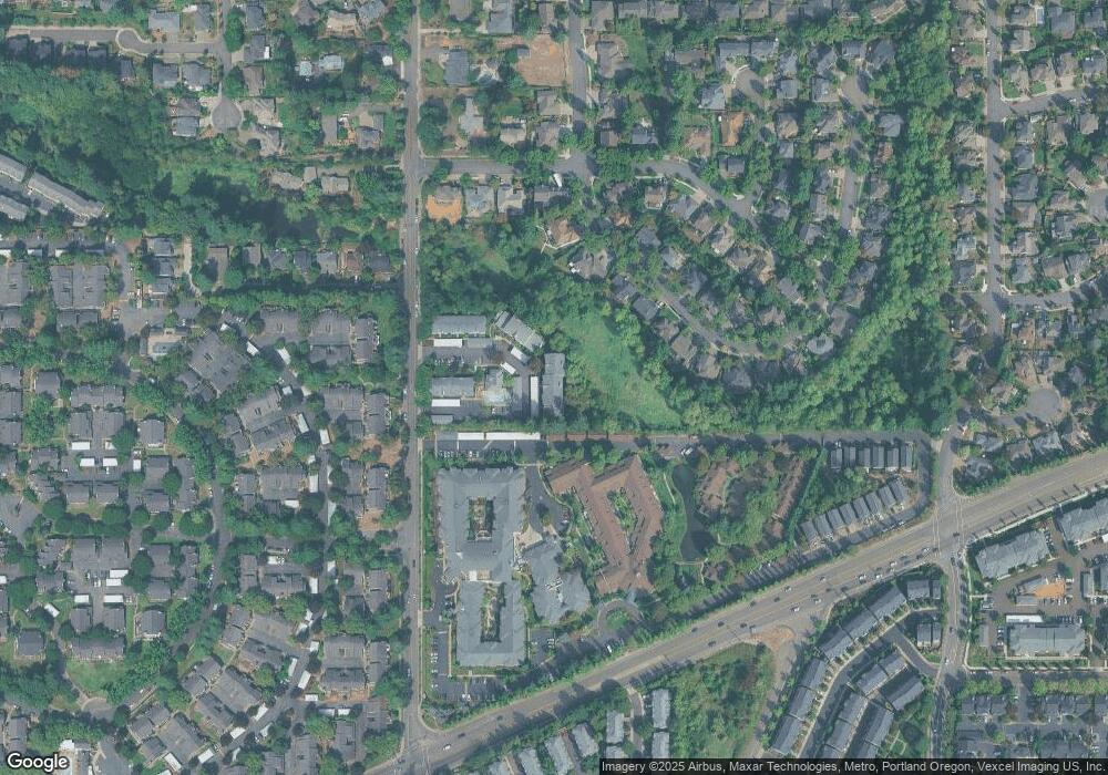
Map
Nearby Homes
- 10690 SW Davies Rd Unit 53
- 0 SW Scholls Ferry Rd
- 13850 SW Scholls Ferry Rd Unit 102
- 10993 SW Sage Terrace
- 11002 SW Sage Terrace
- 11044 SW Sage Terrace
- 10605 SW 135th Ave
- 10535 SW 135th Ave
- 14320 SW Fox Ln
- 13350 SW Haystack Dr
- 10045 SW 135th Ave
- 10100 SW Foxtrot Terrace
- 10820 SW Huntington Ave
- 10910 SW Huntington Ave
- 9970 SW Silver Place
- 10830 SW Briarwood Place
- 11325 SW Eucalyptus Place
- 13250 SW Weir Rd
- 13527 SW Ashbury Ln
- 11602 SW Grosbeak Terrace Unit 39
- 10660 SW Davies Rd Unit 41
- 10660 SW Davies Rd Unit 46
- 10660 SW Davies Rd Unit 42
- 10660 SW Davies Rd Unit 40
- 10660 SW Davies Rd Unit 29
- 10660 SW Davies Rd
- 10660 SW Davies Rd Unit E44
- 10660 SW Davies Rd
- 10660 SW Davies Rd
- 10660 SW Davies Rd
- 10660 SW Davies Rd Unit E39
- 10660 SW Davies Rd Unit E38
- 10660 SW Davies Rd Unit E37
- 10660 SW Davies Rd
- 10660 SW Davies Rd
- 10660 SW Davies Rd
- 10660 SW Davies Rd Unit E32
- 10660 SW Davies Rd Unit 31
- 10660 SW Davies Rd Unit E30
- 10660 SW Davies Rd Unit E29