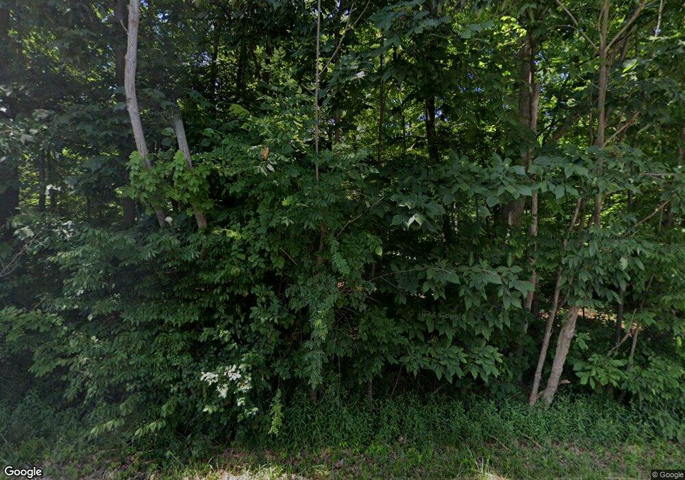
10661 Kilmarnock Rd NE Alliance, OH 44601
Estimated Value: $387,000 - $636,481
3
Beds
2
Baths
2,649
Sq Ft
$193/Sq Ft
Est. Value
About This Home
This home is located at 10661 Kilmarnock Rd NE, Alliance, OH 44601 and is currently estimated at $510,370, approximately $192 per square foot. 10661 Kilmarnock Rd NE is a home with nearby schools including Louisville High School.
Ownership History
Date
Name
Owned For
Owner Type
Purchase Details
Closed on
May 25, 2007
Sold by
Somich Thomas M and Somich Rita M
Bought by
Leone Bruce W and Leone Jennifer L
Current Estimated Value
Home Financials for this Owner
Home Financials are based on the most recent Mortgage that was taken out on this home.
Original Mortgage
$178,500
Interest Rate
6.27%
Mortgage Type
Purchase Money Mortgage
Create a Home Valuation Report for This Property
The Home Valuation Report is an in-depth analysis detailing your home's value as well as a comparison with similar homes in the area
Home Values in the Area
Average Home Value in this Area
Purchase History
| Date | Buyer | Sale Price | Title Company |
|---|---|---|---|
| Leone Bruce W | $210,000 | Attorney |
Source: Public Records
Mortgage History
| Date | Status | Borrower | Loan Amount |
|---|---|---|---|
| Closed | Leone Bruce W | $178,500 |
Source: Public Records
Tax History Compared to Growth
Tax History
| Year | Tax Paid | Tax Assessment Tax Assessment Total Assessment is a certain percentage of the fair market value that is determined by local assessors to be the total taxable value of land and additions on the property. | Land | Improvement |
|---|---|---|---|---|
| 2025 | -- | $198,980 | $67,590 | $131,390 |
| 2024 | -- | $198,980 | $67,590 | $131,390 |
| 2023 | $5,388 | $151,025 | $52,675 | $98,350 |
| 2022 | $5,394 | $110,740 | $12,390 | $98,350 |
| 2021 | $5,409 | $110,740 | $12,390 | $98,350 |
| 2020 | $4,492 | $97,160 | $11,270 | $85,890 |
| 2019 | $5,005 | $97,180 | $11,280 | $85,900 |
| 2018 | $4,497 | $97,180 | $11,280 | $85,900 |
| 2017 | $3,906 | $80,550 | $11,030 | $69,520 |
| 2016 | $3,768 | $79,490 | $11,030 | $68,460 |
| 2015 | $3,778 | $79,490 | $11,030 | $68,460 |
| 2014 | $582 | $80,090 | $9,980 | $70,110 |
| 2013 | $1,386 | $47,300 | $9,980 | $37,320 |
Source: Public Records
Map
Nearby Homes
- 0 Moulin Ave NE
- 0 Reeder Ave NE
- 0 Valewood Cir Unit 5006281
- 2435 Queensbury Rd
- 2851 Patriots Path Unit 3D
- 5990 Meese Rd NE
- 2377 Ansley St Unit 2377
- 6109 Oakhill Ave NE
- 5765 Maplegrove St
- 12222 Cenfield St NE
- 0 Easton St NE
- 7844 Morningstar Dr
- 6052 N Nickelplate St
- 1430 Westwood Ave
- 2081 Marwood Cir
- 10666 Wilma Ave NE
- 5495 Meese Rd NE
- 0 Winchester St
- 0 Winchester St Unit 5162877
- 2220 Western Ave
- 10595 Kilmarnock Rd NE
- 10563 Beech St NE
- 10685 Beech St NE
- 10481 Beech St NE
- 10733 Beech St NE
- 10443 Beech St NE
- 10650 Beech St NE
- 10819 Beech St NE
- 0 Beech St NE Unit 3643090
- 0 Beech St NE Unit 3683138
- 0 Beech St NE Unit 5113138
- 0 Beech St NE Unit 5028504
- 0 Beech St NE Unit 4479401
- 0 Beech St NE Unit 4479397
- 0 Beech St NE Unit 4420978
- 0 Beech St NE Unit 4278498
- 0 Beech St NE Unit 4066523
- 0 Beech St NE Unit 4052481
- 10790 Beech St NE
- 10349 Beech St NE
