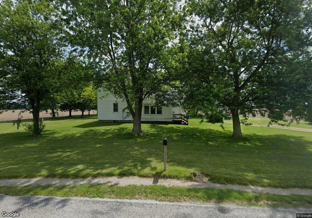
10662 Custar Rd Custar, OH 43511
Estimated Value: $132,018 - $177,000
3
Beds
1
Bath
1,552
Sq Ft
$100/Sq Ft
Est. Value
About This Home
This home is located at 10662 Custar Rd, Custar, OH 43511 and is currently estimated at $155,255, approximately $100 per square foot. 10662 Custar Rd is a home located in Wood County with nearby schools including Bowling Green High School.
Ownership History
Date
Name
Owned For
Owner Type
Purchase Details
Closed on
Sep 23, 2003
Sold by
Goris Robert J and Goris Nancy
Bought by
Schurger John S
Current Estimated Value
Home Financials for this Owner
Home Financials are based on the most recent Mortgage that was taken out on this home.
Original Mortgage
$65,000
Outstanding Balance
$29,583
Interest Rate
6.44%
Mortgage Type
Purchase Money Mortgage
Estimated Equity
$125,672
Purchase Details
Closed on
Sep 6, 1991
Bought by
Goris Robert J
Create a Home Valuation Report for This Property
The Home Valuation Report is an in-depth analysis detailing your home's value as well as a comparison with similar homes in the area
Purchase History
| Date | Buyer | Sale Price | Title Company |
|---|---|---|---|
| Schurger John S | $65,000 | -- | |
| Goris Robert J | -- | -- |
Source: Public Records
Mortgage History
| Date | Status | Borrower | Loan Amount |
|---|---|---|---|
| Open | Schurger John S | $65,000 |
Source: Public Records
Tax History
| Year | Tax Paid | Tax Assessment Tax Assessment Total Assessment is a certain percentage of the fair market value that is determined by local assessors to be the total taxable value of land and additions on the property. | Land | Improvement |
|---|---|---|---|---|
| 2025 | $1,380 | $32,340 | $8,750 | $23,590 |
| 2024 | $1,372 | $32,340 | $8,750 | $23,590 |
| 2023 | $1,372 | $32,340 | $8,750 | $23,590 |
| 2021 | $1,198 | $27,440 | $7,000 | $20,440 |
| 2020 | $1,168 | $27,440 | $7,000 | $20,440 |
| 2019 | $1,053 | $23,910 | $7,000 | $16,910 |
| 2018 | $1,047 | $23,910 | $7,000 | $16,910 |
| 2017 | $968 | $23,910 | $7,000 | $16,910 |
| 2016 | $869 | $20,160 | $5,250 | $14,910 |
| 2015 | $869 | $20,160 | $5,250 | $14,910 |
| 2014 | $915 | $20,160 | $5,250 | $14,910 |
| 2013 | $1,020 | $20,160 | $5,250 | $14,910 |
Source: Public Records
Map
Nearby Homes
- 23117 Defiance Pike
- 22759 Defiance Pike
- 20210 Oak St
- 22487 U S 6
- 0 Otsego Pike Unit 6136991
- 0 Sand Ridge Rd Unit 10004038
- 24642 Hammansburg Rd
- 22888 Wintergreen Rd
- 17884 Euler Rd
- 0 Portage Rd Unit 10004034
- 0 County Road K
- 117 Meadow Ln
- 115 Meadow Ln
- 113 N Meadow Ln
- 116 Meadow Ln
- 119 N Harvest St
- 112 N Harvest Dr
- 121 N Harvest St
- 118 N Harvest Dr
- 120 N Harvest Dr
- 10687 Custar Rd
- 10509 Custar Rd
- 10836 Custar Rd
- 22899 Maplewood Rd
- 23179 Maplewood Rd
- 23179 Maplewood Rd
- 22884 Maplewood Rd
- 23024 Maplewood Rd
- 22708 Maplewood Rd
- 23346 Maplewood Rd
- 23438 Maplewood Rd
- 23114 Mermill Rd
- 22862 Mermill Rd
- 22375 Mermill Rd
- 11373 Custar Rd
- 23368 Mermill Rd
- 22550 Mermill Rd
- 22190 Mermill Rd
- 22370 Railroad St
- 22430 Mermill Rd
Your Personal Tour Guide
Ask me questions while you tour the home.