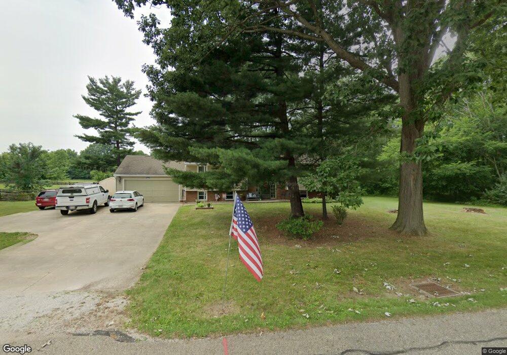
10663 Julie St NE Alliance, OH 44601
Estimated Value: $239,173 - $291,000
4
Beds
3
Baths
1,296
Sq Ft
$204/Sq Ft
Est. Value
About This Home
This home is located at 10663 Julie St NE, Alliance, OH 44601 and is currently estimated at $264,543, approximately $204 per square foot. 10663 Julie St NE is a home located in Stark County with nearby schools including Marlington High School and Regina Coeli/St Joseph School.
Ownership History
Date
Name
Owned For
Owner Type
Purchase Details
Closed on
Jan 29, 2021
Sold by
Maldoven Ruth E
Bought by
Crison Kyle Aaron and Conley Crison Jennifer
Current Estimated Value
Home Financials for this Owner
Home Financials are based on the most recent Mortgage that was taken out on this home.
Original Mortgage
$97,000
Outstanding Balance
$86,711
Interest Rate
2.67%
Mortgage Type
New Conventional
Estimated Equity
$177,832
Purchase Details
Closed on
Jul 15, 1991
Create a Home Valuation Report for This Property
The Home Valuation Report is an in-depth analysis detailing your home's value as well as a comparison with similar homes in the area
Home Values in the Area
Average Home Value in this Area
Purchase History
| Date | Buyer | Sale Price | Title Company |
|---|---|---|---|
| Crison Kyle Aaron | $100,000 | Heritage Union Title Co Ltd | |
| -- | $76,500 | -- |
Source: Public Records
Mortgage History
| Date | Status | Borrower | Loan Amount |
|---|---|---|---|
| Open | Crison Kyle Aaron | $97,000 |
Source: Public Records
Tax History Compared to Growth
Tax History
| Year | Tax Paid | Tax Assessment Tax Assessment Total Assessment is a certain percentage of the fair market value that is determined by local assessors to be the total taxable value of land and additions on the property. | Land | Improvement |
|---|---|---|---|---|
| 2025 | -- | $94,720 | $24,400 | $70,320 |
| 2024 | -- | $94,720 | $24,400 | $70,320 |
| 2023 | $2,645 | $75,110 | $12,950 | $62,160 |
| 2022 | $2,655 | $75,110 | $12,950 | $62,160 |
| 2021 | $2,353 | $75,110 | $12,950 | $62,160 |
| 2020 | $2,213 | $64,370 | $11,170 | $53,200 |
| 2019 | $2,198 | $64,370 | $11,170 | $53,200 |
| 2018 | $2,201 | $64,370 | $11,170 | $53,200 |
| 2017 | $2,035 | $56,880 | $10,610 | $46,270 |
| 2016 | $2,035 | $56,880 | $10,610 | $46,270 |
| 2015 | $1,937 | $56,880 | $10,610 | $46,270 |
| 2014 | $1,705 | $47,430 | $8,860 | $38,570 |
| 2013 | $848 | $47,430 | $8,860 | $38,570 |
Source: Public Records
Map
Nearby Homes
- 13334 Cindy St NE
- 13061 Beeson St NE
- 0 Meadow St NE
- 10666 Wilma Ave NE
- 0 W Main St Unit 5090123
- 11480 Aebi Ave NE
- 000 Klinger Ave
- 1430 Westwood Ave
- 432 Johnson Ave
- 11940 Freshley Ave NE
- 11960 Freshley Ave NE
- 2081 Marwood Cir
- 0 Klinger Ave NE
- 13109 Edison St NE
- 0 Johnson Ave NE Unit 5142926
- 14422 Sturbridge Rd NE
- 0 Meadowbrook Ave
- 0 Homestead Ave NE
- 12355 Edison St NE
- 565 W Broadway St
- 10670 Julie St NE
- 10654 Julie St NE
- 10630 Julie St NE
- 10692 Julie St NE
- 10710 Julie St NE
- 10608 Julie St NE
- 10728 Julie St NE
- 10586 Julie St NE
- 13286 Cindy St NE
- 13231 Beeson St NE
- 13203 Beeson St NE
- 10777 Julie St NE
- 13271 Beeson St NE
- 13223 Beeson St NE
- 13285 Beeson St NE
- 13122 Meadow St NE
- 10781 Hazelview Ave NE
- 10796 Julie St NE
- 10795 Julie St NE
- 13295 Beeson St NE