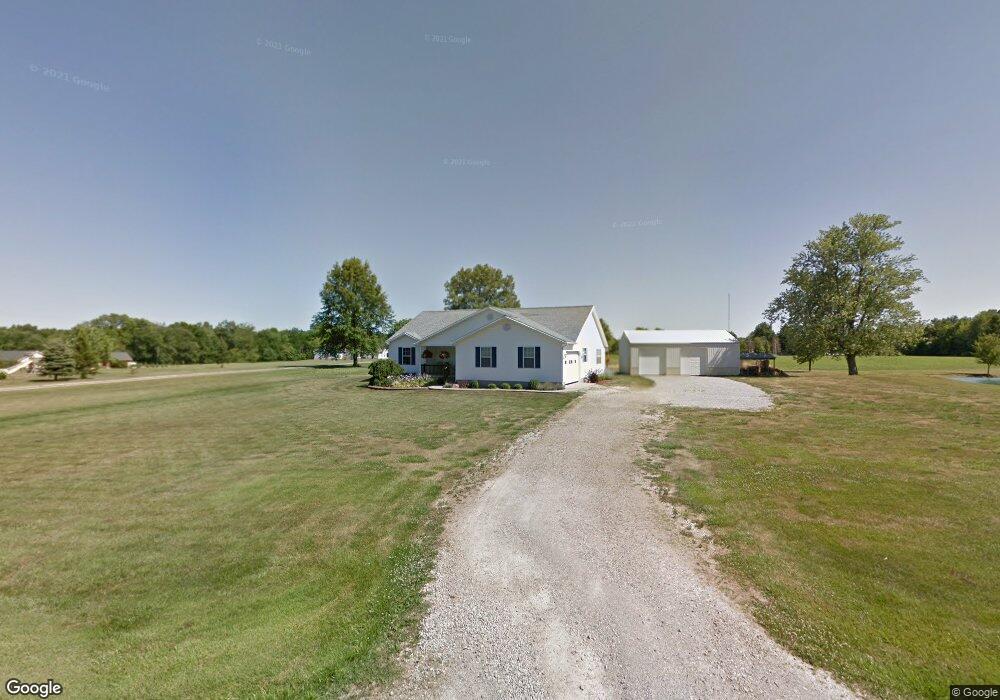
10663 McGwinn Rd Clarksville, OH 45113
Washington Township NeighborhoodEstimated Value: $363,734 - $501,000
3
Beds
2
Baths
1,800
Sq Ft
$242/Sq Ft
Est. Value
About This Home
This home is located at 10663 McGwinn Rd, Clarksville, OH 45113 and is currently estimated at $435,934, approximately $242 per square foot. 10663 McGwinn Rd is a home located in Warren County with nearby schools including Clinton-Massie Elementary School, Clinton-Massie Middle School, and Clinton-Massie High School.
Ownership History
Date
Name
Owned For
Owner Type
Purchase Details
Closed on
Apr 3, 2018
Sold by
Kirk Chris L
Bought by
Kirk Norma J
Current Estimated Value
Purchase Details
Closed on
May 24, 2010
Sold by
Kirk Misty S and Spear Misty S
Bought by
Kirk Chris L
Home Financials for this Owner
Home Financials are based on the most recent Mortgage that was taken out on this home.
Original Mortgage
$131,800
Interest Rate
5.14%
Mortgage Type
New Conventional
Create a Home Valuation Report for This Property
The Home Valuation Report is an in-depth analysis detailing your home's value as well as a comparison with similar homes in the area
Home Values in the Area
Average Home Value in this Area
Purchase History
| Date | Buyer | Sale Price | Title Company |
|---|---|---|---|
| Kirk Norma J | -- | None Available | |
| Kirk Chris L | -- | Safetitle Agency Inc |
Source: Public Records
Mortgage History
| Date | Status | Borrower | Loan Amount |
|---|---|---|---|
| Closed | Kirk Chris L | $131,800 |
Source: Public Records
Tax History Compared to Growth
Tax History
| Year | Tax Paid | Tax Assessment Tax Assessment Total Assessment is a certain percentage of the fair market value that is determined by local assessors to be the total taxable value of land and additions on the property. | Land | Improvement |
|---|---|---|---|---|
| 2024 | $3,102 | $95,510 | $23,070 | $72,440 |
| 2023 | $2,579 | $76,468 | $12,173 | $64,295 |
| 2022 | $2,593 | $76,468 | $12,173 | $64,295 |
| 2021 | $2,365 | $76,468 | $12,173 | $64,295 |
| 2020 | $2,198 | $62,171 | $9,898 | $52,273 |
| 2019 | $2,044 | $62,171 | $9,898 | $52,273 |
| 2018 | $2,070 | $62,171 | $9,898 | $52,273 |
| 2017 | $1,854 | $54,695 | $8,782 | $45,913 |
| 2016 | $1,915 | $54,695 | $8,782 | $45,913 |
| 2015 | $1,915 | $54,695 | $8,782 | $45,913 |
| 2014 | $1,838 | $51,180 | $8,270 | $42,910 |
| 2013 | $1,904 | $61,040 | $9,710 | $51,330 |
Source: Public Records
Map
Nearby Homes
- 0 St Rt 350 Unit 923676
- 0 St Rt 350 Unit 1824169
- 10817 Wilmington Lebanon Rd
- 104 Linton Ave
- 10370 Old Ccc Rd
- 0 Wilmington Rd Unit 1856534
- 0 Wilmington Rd Unit 1856179
- 1167 Hiatt Rd
- Lot C Blazing Trail
- Lot B Blazing Trail
- 9029 Arrowcreek Dr
- 8788 Wilmington Rd
- 9356 Ohio 350
- 8784 Wilmington Rd
- 0 Gum Grove Rd Unit 941687
- 0 Gum Grove Rd Unit 1852123
- 2858 Gum Grove Rd
- 1043 Cowan Creek Rd
- 732 Settlemyre Rd
- 1015 Settlemyre Rd
- 10697 McGwinn Rd
- 11000 McGwinn Rd
- 10709 McGwinn Rd
- 10735 McGwinn Rd
- 1.98ac McGwinn Rd
- 10866 Us Highway 22 and 3
- 10593 McGwinn Rd
- 10751 McGwinn Rd
- 10738 McGwinn Rd
- 10545 McGwinn Rd
- 10795 McGwinn Rd
- 10679 Short St
- 10801 Us Highway 22 and 3
- 10671 Bob Short
- 10657 Bob Short
- 10657 Short St
- 10964 Us Highway 22 and 3
- 86 N Clarksville Rd
- 10643 Short Rd
- 10643 Short Dr