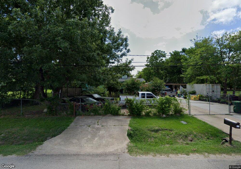
10666 Shady Ln Houston, TX 77093
Eastex-Jensen NeighborhoodEstimated Value: $277,000 - $319,000
2
Beds
1
Bath
1,737
Sq Ft
$168/Sq Ft
Est. Value
About This Home
This home is located at 10666 Shady Ln, Houston, TX 77093 and is currently estimated at $292,046, approximately $168 per square foot. 10666 Shady Ln is a home located in Harris County with nearby schools including Coop Elementary School, Patrick Henry Middle School, and Sam Houston Math, Science & Technology Center.
Ownership History
Date
Name
Owned For
Owner Type
Purchase Details
Closed on
Nov 30, 1997
Sold by
Campbell Jerry L and Goree Julie A
Bought by
Zamarripa Sixto E and Zamarripa Maria G
Current Estimated Value
Home Financials for this Owner
Home Financials are based on the most recent Mortgage that was taken out on this home.
Original Mortgage
$27,000
Interest Rate
7.16%
Mortgage Type
Seller Take Back
Purchase Details
Closed on
Sep 30, 1996
Sold by
Campbell Jerry L and Goree Julie A
Bought by
Adams David and Adams Sherry
Home Financials for this Owner
Home Financials are based on the most recent Mortgage that was taken out on this home.
Original Mortgage
$46,500
Interest Rate
8.17%
Mortgage Type
Seller Take Back
Create a Home Valuation Report for This Property
The Home Valuation Report is an in-depth analysis detailing your home's value as well as a comparison with similar homes in the area
Home Values in the Area
Average Home Value in this Area
Purchase History
| Date | Buyer | Sale Price | Title Company |
|---|---|---|---|
| Zamarripa Sixto E | -- | -- | |
| Adams David | -- | -- |
Source: Public Records
Mortgage History
| Date | Status | Borrower | Loan Amount |
|---|---|---|---|
| Previous Owner | Zamarripa Sixto E | $27,000 | |
| Previous Owner | Adams David | $46,500 |
Source: Public Records
Tax History Compared to Growth
Tax History
| Year | Tax Paid | Tax Assessment Tax Assessment Total Assessment is a certain percentage of the fair market value that is determined by local assessors to be the total taxable value of land and additions on the property. | Land | Improvement |
|---|---|---|---|---|
| 2025 | $23 | $269,943 | $180,811 | $89,132 |
| 2024 | $23 | $300,975 | $169,344 | $131,631 |
| 2023 | $23 | $246,590 | $132,300 | $114,290 |
| 2022 | $3,489 | $200,799 | $110,251 | $90,548 |
| 2021 | $3,357 | $158,483 | $79,380 | $79,103 |
| 2020 | $3,171 | $153,083 | $79,380 | $73,703 |
| 2019 | $3,013 | $153,083 | $79,380 | $73,703 |
| 2018 | $1,900 | $108,230 | $60,859 | $47,371 |
| 2017 | $2,737 | $108,230 | $60,859 | $47,371 |
| 2016 | $2,729 | $108,230 | $60,859 | $47,371 |
| 2015 | $2,523 | $98,131 | $41,704 | $56,427 |
| 2014 | $2,523 | $98,131 | $41,704 | $56,427 |
Source: Public Records
Map
Nearby Homes
- 1728 Little York Rd
- 2636 Lone Oak Rd
- 1904 Little York Rd
- 2629 Kowis St
- 2315 Langley Rd
- 2332 Margaret St
- 2415 Goodloe St
- 2817 Cromwell St
- 4918 Langley Rd
- 2152 William Tell St
- 2122 Kowis St
- 2318 Cresline St
- 2237 Cromwell St
- 3202 Parker Rd
- 2311 Warwick Rd
- 1908 Little York Rd
- 3418 Hopper Rd
- 2633 Hollis St
- 3804 Cedar Hill Ln
- 1829 Skinner Rd
- 5215 Pine Tree Dr
- 5206 Pine Tree Dr
- 5212 Pine Tree Dr
- 5208 Pine Tree Dr
- 5214 Pine Tree Dr
- 5210 Pine Tree Dr
- 10636 Shady Ln
- 2729 Pine Tree Dr
- 2728 Pine Tree Dr
- 10624 Shady Ln
- 10629 Shady Ln
- 10620 Shady Ln
- 10710 Shady Ln
- 10616 Shady Ln
- 2720 Pine Tree Dr
- 10601 Shady Ln
- 2710 Pine Tree Dr
- 2709 Hardwood Ln
- 10739 Royal Pine Dr
- 10735 Royal Pine Dr