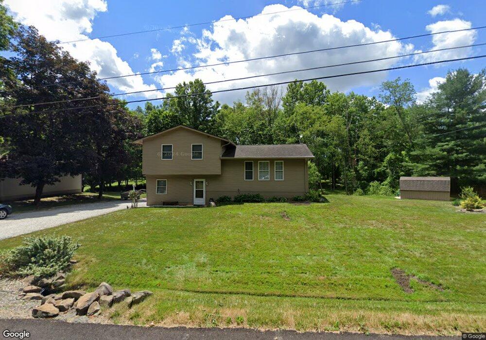
10666 Woodard Rd Deerfield, OH 44411
Estimated Value: $160,000 - $215,000
3
Beds
1
Bath
1,444
Sq Ft
$136/Sq Ft
Est. Value
About This Home
This home is located at 10666 Woodard Rd, Deerfield, OH 44411 and is currently estimated at $196,009, approximately $135 per square foot. 10666 Woodard Rd is a home located in Portage County with nearby schools including Southeast High School.
Ownership History
Date
Name
Owned For
Owner Type
Purchase Details
Closed on
Jul 2, 1997
Sold by
Wilson Mary E
Bought by
Daugherty Michael L and Daugherty Karen L
Current Estimated Value
Home Financials for this Owner
Home Financials are based on the most recent Mortgage that was taken out on this home.
Original Mortgage
$71,250
Outstanding Balance
$10,674
Interest Rate
8.01%
Mortgage Type
New Conventional
Estimated Equity
$185,335
Create a Home Valuation Report for This Property
The Home Valuation Report is an in-depth analysis detailing your home's value as well as a comparison with similar homes in the area
Home Values in the Area
Average Home Value in this Area
Purchase History
| Date | Buyer | Sale Price | Title Company |
|---|---|---|---|
| Daugherty Michael L | $75,000 | -- |
Source: Public Records
Mortgage History
| Date | Status | Borrower | Loan Amount |
|---|---|---|---|
| Open | Daugherty Michael L | $71,250 |
Source: Public Records
Tax History Compared to Growth
Tax History
| Year | Tax Paid | Tax Assessment Tax Assessment Total Assessment is a certain percentage of the fair market value that is determined by local assessors to be the total taxable value of land and additions on the property. | Land | Improvement |
|---|---|---|---|---|
| 2024 | $2,171 | $62,270 | $5,950 | $56,320 |
| 2023 | $1,526 | $39,590 | $4,590 | $35,000 |
| 2022 | $1,585 | $39,590 | $4,590 | $35,000 |
| 2021 | $1,599 | $39,590 | $4,590 | $35,000 |
| 2020 | $1,660 | $39,590 | $4,590 | $35,000 |
| 2019 | $1,664 | $39,590 | $4,590 | $35,000 |
| 2018 | $1,580 | $35,490 | $5,110 | $30,380 |
| 2017 | $1,580 | $35,490 | $5,110 | $30,380 |
| 2016 | $1,574 | $35,490 | $5,110 | $30,380 |
| 2015 | $1,578 | $35,490 | $5,110 | $30,380 |
| 2014 | $1,609 | $35,490 | $5,110 | $30,380 |
| 2013 | $1,593 | $35,490 | $5,110 | $30,380 |
Source: Public Records
Map
Nearby Homes
- 2332 McClintocksburg Rd
- 17801 Ellsworth Rd
- 3330 Jones Rd
- 5925 Bedell Rd
- 1864 State Route 225
- 2282 Heston Dr
- 1135 Mahoning Portage County Line Rd
- 2953 State Route 225
- 1731 Ohio 225
- 3595 McClintocksburg Rd
- 16986 Headland Ave
- V/L State Route 225
- 0 Mahoning Ave Unit 11482663
- 10575 Tallmadge Rd
- 16474 Palmyra Rd
- 0 NE River Rd Unit 5154849
- 105 Lakeview St
- 0 Ohio 14
- 9663 Berlin Heights Dr
- 1060 State Route 14
- 10682 Woodard Rd
- 10644 Woodard Rd
- 10694 Woodard Rd
- 10720 Woodard Rd
- 2441 Mahoning Rd
- 2320 Mahoning Rd
- 10743 Woodard Rd
- 2306 Mahoning Rd
- 2292 Mahoning Rd
- 2504 Mahoning Rd
- 0 Mahoning Rd Unit 3666045
- 0 Mahoning Rd Unit 4158977
- 0 Mahoning Rd Unit 4111094
- 2266 Mahoning Rd
- 2549 Mahoning Rd
- 2220 Mahoning Rd
- 18275 Mill Rd
- 18263 Mill Rd
- 18264 Mill Rd
- 2162 Bonner Rd