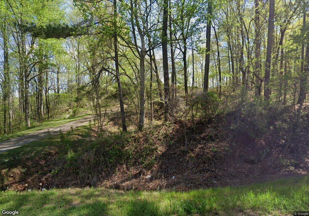
10668 Highway 431 Roanoke, AL 36274
Estimated Value: $278,000 - $345,000
--
Bed
--
Bath
2,287
Sq Ft
$136/Sq Ft
Est. Value
About This Home
This home is located at 10668 Highway 431, Roanoke, AL 36274 and is currently estimated at $310,203, approximately $135 per square foot. 10668 Highway 431 is a home.
Ownership History
Date
Name
Owned For
Owner Type
Purchase Details
Closed on
Oct 25, 2023
Sold by
Spencer Bud E and Spencer Loralyn Edwin
Bought by
Spencer Bud E
Current Estimated Value
Purchase Details
Closed on
Feb 1, 2023
Sold by
Mcgee James and Mcgee Stacy
Bought by
Tillis Elizabeth Ann and Tillis David Allen
Purchase Details
Closed on
Sep 27, 2010
Sold by
Cofield Stanley and Cofield Sandra
Bought by
Mcgee James
Create a Home Valuation Report for This Property
The Home Valuation Report is an in-depth analysis detailing your home's value as well as a comparison with similar homes in the area
Home Values in the Area
Average Home Value in this Area
Purchase History
| Date | Buyer | Sale Price | Title Company |
|---|---|---|---|
| Spencer Bud E | $137,000 | None Listed On Document | |
| Spencer Bud E | $137,000 | None Listed On Document | |
| Tillis Elizabeth Ann | -- | -- | |
| Tillis Elizabeth Ann | -- | None Listed On Document | |
| Mcgee James | -- | -- |
Source: Public Records
Tax History Compared to Growth
Tax History
| Year | Tax Paid | Tax Assessment Tax Assessment Total Assessment is a certain percentage of the fair market value that is determined by local assessors to be the total taxable value of land and additions on the property. | Land | Improvement |
|---|---|---|---|---|
| 2024 | $709 | $22,160 | $1,600 | $20,560 |
| 2023 | $709 | $20,960 | $1,580 | $19,380 |
| 2022 | $657 | $20,960 | $1,580 | $19,380 |
| 2021 | $657 | $20,960 | $1,580 | $19,380 |
| 2020 | $671 | $20,960 | $1,580 | $19,380 |
| 2018 | $630 | $19,700 | $1,580 | $18,120 |
| 2017 | $630 | $19,700 | $1,580 | $18,120 |
| 2016 | $585 | $18,260 | $1,580 | $16,680 |
| 2015 | $585 | $182,549 | $0 | $0 |
| 2014 | $585 | $182,549 | $0 | $0 |
| 2013 | -- | $182,549 | $0 | $0 |
Source: Public Records
Map
Nearby Homes
- 0 County Road 33 Unit 21433246
- 0 County Road 33 Unit 1 21415403
- 0 County Road 33 Unit 22490365
- 12994 County Road 65
- 580 Country Breeze Cir
- 1833 County Road 42
- 12335 County Road 33
- 1565 County Road 61
- 1165 County Road 874
- 10120 County Road 65
- 0 County Road 61 Unit 1 21425054
- 0 County Road 61 Unit 10563554
- 3182 County Road 61
- Tract 4 County Road 268 Unit 4
- Tract 3 County Road 268 Unit 3
- Tract 2 County Road 268 Unit 2
- Tract 8 County Road 268 Unit 8
- Tract 7 County Road 268 Unit 7
- 3585 County Road 26
- 0 Lakeside Dr Unit 12 21432053
- 10455 Highway 431 Unit 26 Ac.
- 10352 Highway 431 Unit 6.7 Acres
- 10614 Highway 16
- 10272 Highway 431
- 10219 Highway 431
- Parcel #1 County Road 674 Unit Parcel 1
- 0 County Road 674 Unit 8348121
- 0 County Road 674 Unit PARCEL 1 7534265
- 0 County Road 674 Unit 2.29 AC 8631464
- 0 County Road 674 Unit 2.29 Ac 8600047
- 225 County Road 674
- 3991 County Road 61
- 10124 Highway 431
- 10118 Highway 431
- 10 County Road 674
- 10124 Us Hwy 431
- 3990 County Road 61
- 3939 County Road 61
- 3939 County Road 61
- 3939 County Road 61
