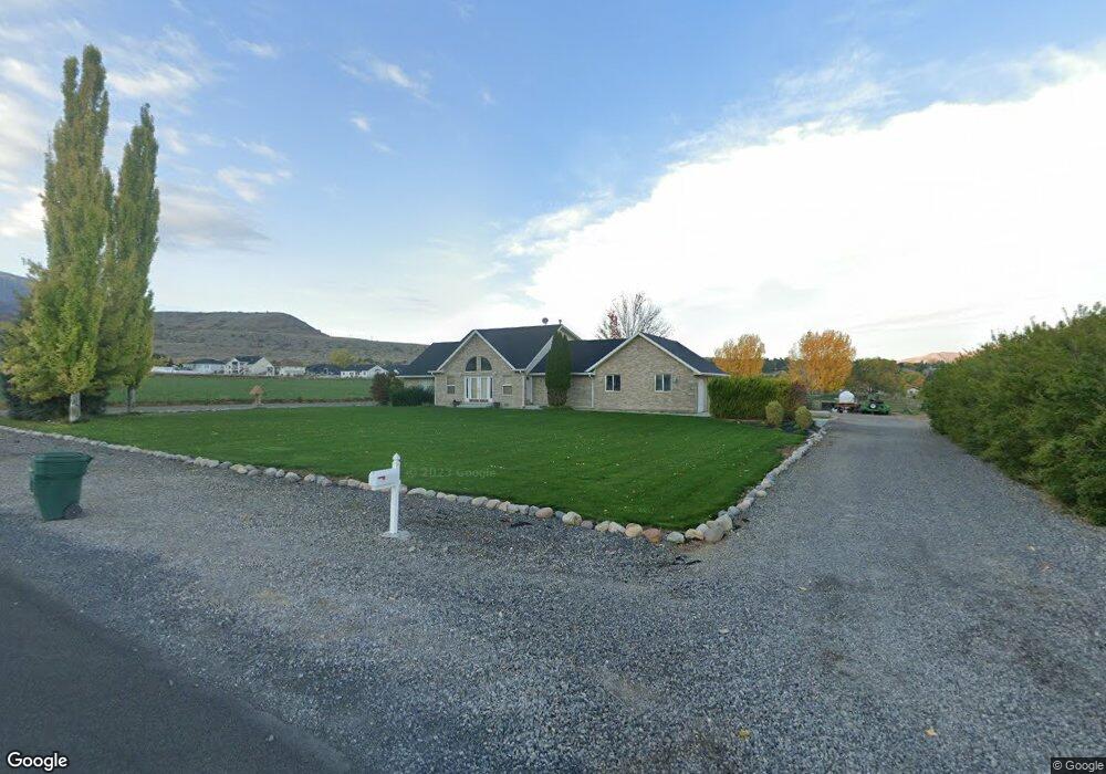
10668 S 2100 W Payson, UT 84651
Estimated Value: $752,000 - $1,108,918
4
Beds
3
Baths
2,240
Sq Ft
$415/Sq Ft
Est. Value
About This Home
This home is located at 10668 S 2100 W, Payson, UT 84651 and is currently estimated at $928,980, approximately $414 per square foot. 10668 S 2100 W is a home located in Utah County with nearby schools including Barnett Elementary School, Salem Junior High School, and Valley View Middle School.
Ownership History
Date
Name
Owned For
Owner Type
Purchase Details
Closed on
Aug 8, 2002
Sold by
Haskell David Leon and Haskell Dorthy P
Bought by
Haskell David L and Haskell Dorthy P
Current Estimated Value
Home Financials for this Owner
Home Financials are based on the most recent Mortgage that was taken out on this home.
Original Mortgage
$113,000
Interest Rate
6.52%
Purchase Details
Closed on
Dec 26, 2000
Sold by
Haskell David Leon and Haskell Dorothy P
Bought by
Haskell David Leon and Haskell Dorothy P
Home Financials for this Owner
Home Financials are based on the most recent Mortgage that was taken out on this home.
Original Mortgage
$116,500
Interest Rate
7.71%
Create a Home Valuation Report for This Property
The Home Valuation Report is an in-depth analysis detailing your home's value as well as a comparison with similar homes in the area
Home Values in the Area
Average Home Value in this Area
Purchase History
| Date | Buyer | Sale Price | Title Company |
|---|---|---|---|
| Haskell David L | -- | Pro Title & Escrow Inc | |
| Haskell David Leon | -- | Inwest Title Services Inc | |
| Haskell David Leon | -- | Inwest Title Services Inc |
Source: Public Records
Mortgage History
| Date | Status | Borrower | Loan Amount |
|---|---|---|---|
| Closed | Haskell David L | $113,000 | |
| Closed | Haskell David Leon | $116,500 |
Source: Public Records
Tax History Compared to Growth
Tax History
| Year | Tax Paid | Tax Assessment Tax Assessment Total Assessment is a certain percentage of the fair market value that is determined by local assessors to be the total taxable value of land and additions on the property. | Land | Improvement |
|---|---|---|---|---|
| 2025 | $3,053 | $300,876 | $551,600 | $428,700 |
| 2024 | $3,053 | $305,188 | $0 | $0 |
| 2023 | $3,225 | $322,628 | $0 | $0 |
| 2022 | $2,633 | $912,900 | $560,200 | $352,700 |
| 2021 | $2,286 | $593,900 | $328,700 | $265,200 |
| 2020 | $2,005 | $549,000 | $283,800 | $265,200 |
| 2019 | $1,806 | $478,600 | $237,500 | $241,100 |
| 2018 | $1,879 | $431,200 | $192,000 | $239,200 |
| 2017 | $1,935 | $150,453 | $0 | $0 |
| 2016 | $2,018 | $152,088 | $0 | $0 |
| 2015 | $1,934 | $144,533 | $0 | $0 |
| 2014 | -- | $144,651 | $0 | $0 |
Source: Public Records
Map
Nearby Homes
- 585 S 1200 E
- 753 N Emery Ln Unit 57
- 678 N Mountain View Dr
- 552 E Longview Dr Unit 29
- 350 E Meadow Lark Ln Unit 9
- 1000 S Goosenest Dr W
- 643 E Longview Dr Unit 8
- 942 W Wilcock Cove
- 4100 W 12400 S
- 761 N Birch Ln Unit 64
- 554 E Salem Hills Dr S Unit 2
- 61 S Lighthouse Cir Unit 14
- 627 E Birch N Unit 68
- 1287 S 500 E Unit 134
- 1352 N 1440 E Unit 21
- 526 E Sophie Cir Unit 1
- 700 S Hillside Dr E
- 792 N Mountain Dr
- 791 N Emery Ln Unit 55
- 648 N Cosette Cove E Unit 5
- 10733 S 2100 W
- 1391 E 550 S Unit 26
- 1391 E 550 S
- 10755 S 2100 W
- 1377 E 550 S Unit 25
- 583 S 1400 E
- 408 S 1400 E Unit 19
- 1378 E 550 S
- 1378 E 550 S Unit 27
- 1365 E 550 S Unit 24
- 574 S 1400 E Unit 28
- 1384 E 370 S Unit 20
- 1384 E 370 S
- 10787 S 2100 W
- 619 S 1400 E
- 1351 E 550 S
- 1351 E 550 S Unit 23
- 586 S 1400 E
- 586 S 1400 E Unit 29
- 399 S 1360 E Unit 22