10669 Walton Dr North Port, AL 35473
Estimated Value: $110,000 - $254,000
3
Beds
2
Baths
1,386
Sq Ft
$131/Sq Ft
Est. Value
About This Home
This home is located at 10669 Walton Dr, North Port, AL 35473 and is currently estimated at $181,662, approximately $131 per square foot. 10669 Walton Dr is a home located in Tuscaloosa County with nearby schools including Huntington Place Elementary School, Echols Middle School, and Tuscaloosa County High School.
Ownership History
Date
Name
Owned For
Owner Type
Purchase Details
Closed on
Mar 25, 2016
Bought by
Platas Jamin Aguilar and Petra Martinez Mendez
Current Estimated Value
Purchase Details
Closed on
May 5, 2014
Sold by
J P Morgan Chase Bank
Bought by
Kaja Holdings 2
Purchase Details
Closed on
Feb 28, 2013
Sold by
Boes Kathy
Bought by
Jp Morgan Chase Bank National
Purchase Details
Closed on
Mar 30, 2005
Sold by
Sanford Daniel
Bought by
Boes Stephen and Boes Kathy
Home Financials for this Owner
Home Financials are based on the most recent Mortgage that was taken out on this home.
Original Mortgage
$57,000
Interest Rate
5.74%
Mortgage Type
Purchase Money Mortgage
Create a Home Valuation Report for This Property
The Home Valuation Report is an in-depth analysis detailing your home's value as well as a comparison with similar homes in the area
Home Values in the Area
Average Home Value in this Area
Purchase History
| Date | Buyer | Sale Price | Title Company |
|---|---|---|---|
| Platas Jamin Aguilar | $25,000 | -- | |
| Kaja Holdings 2 | -- | -- | |
| Jp Morgan Chase Bank National | -- | -- | |
| Boes Stephen | $57,500 | -- |
Source: Public Records
Mortgage History
| Date | Status | Borrower | Loan Amount |
|---|---|---|---|
| Previous Owner | Boes Stephen | $57,000 |
Source: Public Records
Tax History Compared to Growth
Tax History
| Year | Tax Paid | Tax Assessment Tax Assessment Total Assessment is a certain percentage of the fair market value that is determined by local assessors to be the total taxable value of land and additions on the property. | Land | Improvement |
|---|---|---|---|---|
| 2024 | $113 | $9,040 | $1,360 | $7,680 |
| 2023 | $113 | $9,040 | $1,360 | $7,680 |
| 2022 | $113 | $9,040 | $1,360 | $7,680 |
| 2021 | $113 | $9,040 | $1,360 | $7,680 |
| 2020 | $104 | $4,250 | $680 | $3,570 |
| 2019 | $100 | $4,160 | $680 | $3,480 |
| 2018 | $100 | $4,160 | $680 | $3,480 |
| 2017 | $233 | $0 | $0 | $0 |
| 2016 | $216 | $0 | $0 | $0 |
| 2015 | $216 | $0 | $0 | $0 |
| 2014 | $537 | $17,000 | $1,360 | $15,640 |
Source: Public Records
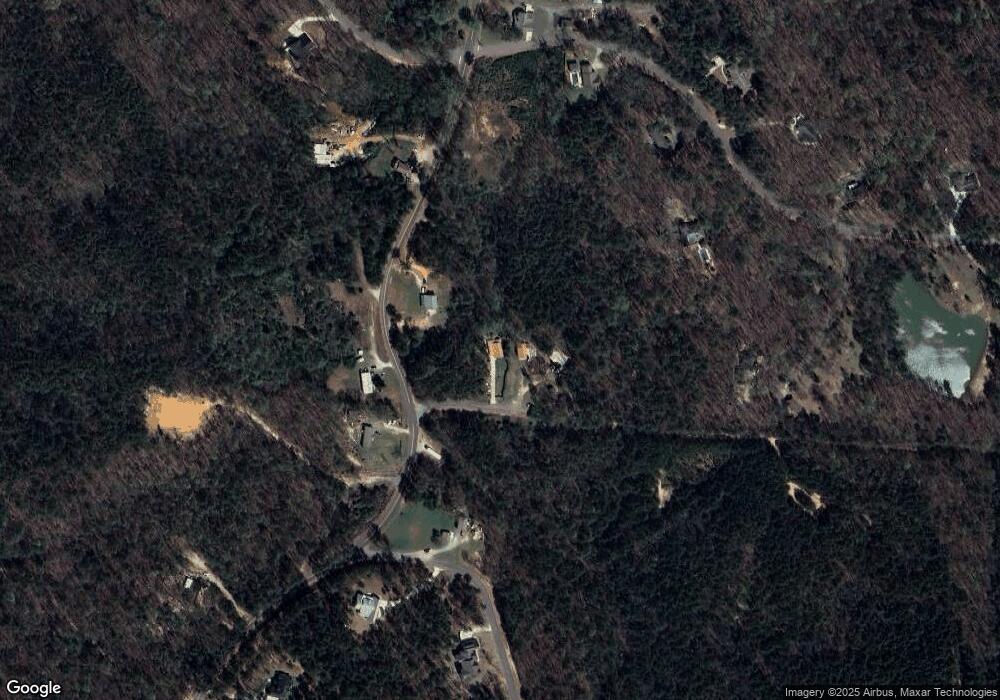
Map
Nearby Homes
- 0 Martin Spur Rd
- 6253 Rosemeade St
- 6144 Rosemeade St
- 6127 Rosemeade St
- 6424 Chatham Rd
- 6109 Rosemeade St
- 6108 Rosemeade St
- 6038 Rosemeade St
- 10885 Landers Dr
- 6018 Rosemeade St
- 11321 Belle Meade Way
- 5821 Edgefield Ave
- 11408 Belle Meade Way
- 708 Highgrove Rd
- 5809 Edgefield Ave
- 5870 Carleton Park Cir
- 13764 Charlotte Cir Unit 1-B
- 6905 Clements Foley Rd
- 6020 Carleton Park Cir
- 695 Arundell St
- 10655 Walton Dr
- 10641 Walton Dr
- 13009 Martin Road Spur
- 13039 Martin Road Spur
- 12992 Martin Spur Rd
- 12969 Sanford Rd
- 12946 Sanford Ln
- 12883 Martin Road Spur
- 10570 Loganwood Dr
- 10533 Loganwood Dr
- 13076 Martin Road Spur
- 12972 Sanford Ln
- 10598 Loganwood Dr
- 10622 Loganwood Dr
- 13112 Martin Road Spur
- 13103 Martin Road Spur
- 12890 Martin Road Spur
- 12887 Martin Road Spur
- 10603 Loganwood Dr
- 12920 Sanford Ln