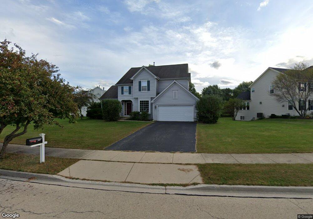
1067 Angle Tarn West Dundee, IL 60118
Estimated Value: $424,244 - $492,000
4
Beds
--
Bath
2,263
Sq Ft
$206/Sq Ft
Est. Value
About This Home
This home is located at 1067 Angle Tarn, West Dundee, IL 60118 and is currently estimated at $465,811, approximately $205 per square foot. 1067 Angle Tarn is a home located in Kane County with nearby schools including Sleepy Hollow Elementary School, Dundee Middle School, and Dundee-Crown High School.
Ownership History
Date
Name
Owned For
Owner Type
Purchase Details
Closed on
Jul 29, 1998
Sold by
The Ryland Group Inc
Bought by
Johnson Erik B and Johnson Barbara J
Current Estimated Value
Home Financials for this Owner
Home Financials are based on the most recent Mortgage that was taken out on this home.
Original Mortgage
$204,150
Outstanding Balance
$42,849
Interest Rate
6.99%
Estimated Equity
$422,962
Create a Home Valuation Report for This Property
The Home Valuation Report is an in-depth analysis detailing your home's value as well as a comparison with similar homes in the area
Home Values in the Area
Average Home Value in this Area
Purchase History
| Date | Buyer | Sale Price | Title Company |
|---|---|---|---|
| Johnson Erik B | $255,500 | -- |
Source: Public Records
Mortgage History
| Date | Status | Borrower | Loan Amount |
|---|---|---|---|
| Open | Johnson Erik B | $204,150 |
Source: Public Records
Tax History
| Year | Tax Paid | Tax Assessment Tax Assessment Total Assessment is a certain percentage of the fair market value that is determined by local assessors to be the total taxable value of land and additions on the property. | Land | Improvement |
|---|---|---|---|---|
| 2024 | $9,510 | $124,667 | $27,254 | $97,413 |
| 2023 | $8,914 | $112,171 | $24,522 | $87,649 |
| 2022 | $9,205 | $110,485 | $24,522 | $85,963 |
| 2021 | $8,884 | $104,320 | $23,154 | $81,166 |
| 2020 | $8,720 | $101,974 | $22,633 | $79,341 |
| 2019 | $8,441 | $96,805 | $21,486 | $75,319 |
| 2018 | $8,527 | $95,407 | $21,061 | $74,346 |
| 2017 | $8,459 | $92,707 | $24,816 | $67,891 |
| 2016 | $8,623 | $89,763 | $24,028 | $65,735 |
| 2015 | -- | $84,111 | $22,515 | $61,596 |
| 2014 | -- | $81,788 | $21,893 | $59,895 |
| 2013 | -- | $84,291 | $22,563 | $61,728 |
Source: Public Records
Map
Nearby Homes
- 1042 Chateau Bluff Ln
- 36 River Ridge Dr
- 915 Willow Ln
- 601 Edwards Ave
- 10 Chateau Dr
- 601 S 2nd St
- 305 Oregon Ave
- 936 Glen Oak Dr
- Lot 1 View St
- 820 Lindsay Ln
- 804 Lindsay Ln
- 808 Lindsay Ln
- 810 Lindsay Ln
- 1811 W Main St
- 306 Johnson St
- 206 Water St
- 822 Lindsay Ln
- 816 Lindsay Ln
- 818 Lindsay Ln
- 821 Lindsay Ln
- 1129 Angle Tarn
- 1041 Angle Tarn
- 1147 Angle Tarn
- 1086 Angle Tarn
- 1025 Angle Tarn
- 1128 Angle Tarn
- 1204 Summerwood
- 1068 Angle Tarn
- 1044 Angle Tarn
- 1144 Angle Tarn
- 1022 Angle Tarn
- 835 Wintercrag
- 1165 Angle Tarn
- 971 Angle Tarn
- 802 Wintercrag
- 817 Wintercrag
- 1166 Angle Tarn
- 1236 Summerwood
- 968 Angle Tarn
- 1207 Summerwood
Your Personal Tour Guide
Ask me questions while you tour the home.