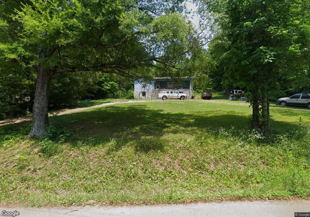
1067 Arnold Rd Rock Spring, GA 30739
Rock Spring NeighborhoodEstimated Value: $175,117 - $260,000
--
Bed
1
Bath
1,416
Sq Ft
$160/Sq Ft
Est. Value
About This Home
This home is located at 1067 Arnold Rd, Rock Spring, GA 30739 and is currently estimated at $226,029, approximately $159 per square foot. 1067 Arnold Rd is a home located in Walker County with nearby schools including Lafayette High School, Oakwood Christian Academy, and Alice M Daley Adventist School.
Ownership History
Date
Name
Owned For
Owner Type
Purchase Details
Closed on
Sep 22, 2021
Sold by
Simpson Steven Thomas
Bought by
Hamilton Alicia B
Current Estimated Value
Purchase Details
Closed on
Oct 2, 2003
Sold by
Chilcutt Millard L and Chilcutt Audrey H
Bought by
Chilcutt Millard L
Purchase Details
Closed on
Apr 1, 1977
Sold by
Harden Jospeh Wayne and Harden Alice
Bought by
Chilcutt Millard L and Chilcutt Audrey H
Purchase Details
Closed on
Nov 3, 1967
Bought by
Harden Jospeh Wayne and Harden Alice
Create a Home Valuation Report for This Property
The Home Valuation Report is an in-depth analysis detailing your home's value as well as a comparison with similar homes in the area
Home Values in the Area
Average Home Value in this Area
Purchase History
| Date | Buyer | Sale Price | Title Company |
|---|---|---|---|
| Hamilton Alicia B | -- | -- | |
| Chilcutt Millard L | -- | -- | |
| Chilcutt Millard L | $31,200 | -- | |
| Harden Jospeh Wayne | -- | -- |
Source: Public Records
Tax History Compared to Growth
Tax History
| Year | Tax Paid | Tax Assessment Tax Assessment Total Assessment is a certain percentage of the fair market value that is determined by local assessors to be the total taxable value of land and additions on the property. | Land | Improvement |
|---|---|---|---|---|
| 2024 | $1,341 | $56,285 | $8,627 | $47,658 |
| 2023 | $1,274 | $51,957 | $6,847 | $45,110 |
| 2022 | $1,158 | $43,732 | $5,642 | $38,090 |
| 2021 | $998 | $33,295 | $5,813 | $27,482 |
| 2020 | $927 | $29,404 | $5,813 | $23,591 |
| 2019 | $942 | $29,404 | $5,813 | $23,591 |
| 2018 | $778 | $29,404 | $5,813 | $23,591 |
| 2017 | $1,022 | $29,404 | $5,813 | $23,591 |
| 2016 | $849 | $29,404 | $5,813 | $23,591 |
| 2015 | $964 | $32,004 | $5,860 | $26,144 |
| 2014 | $872 | $32,004 | $5,860 | $26,144 |
| 2013 | -- | $32,003 | $5,860 | $26,143 |
Source: Public Records
Map
Nearby Homes
- 1121 Arnold Rd
- 1476 Arnold Rd
- 788 Long Hollow Rd
- 918 Old Lafayette Rd
- 195 Honeysuckle Dr
- 59 Honeysuckle Dr
- 70 Deer Ridge Ln
- 103 Deer Ridge Ln
- 1902 Long Hollow Rd
- 36 Pheonix Cir
- 200 Hunting Ridge Cir
- 294 E Long Hollow Rd
- 183 Long Hollow Rd
- 124 Fieldstone Commons
- 285 Cooper Rd
- 386 Twelve Oaks Dr
- 375 Cooper Rd
- 514 Ginger Lake Dr
- 28 Cobblestone Trail
- 954 Goodson Cir
- 1019 Arnold Rd
- 293 E Turnipseed Rd
- 273 E Turnipseed Rd
- 1142 Arnold Rd
- 994 Arnold Rd
- 251 E Turnipseed Rd
- 1137 Arnold Rd
- 976 Arnold Rd
- 229 E Turnipseed Rd
- 226 E Turnipseed Rd
- 942 Arnold Rd
- 1224 Arnold Rd
- 908 Arnold Rd
- 903 Arnold Rd
- 876 Arnold Rd
- 876 Arnold Rd Unit 1
- 0 E Turnipseed Rd
- 193 E Turnipseed Rd
- 1229 Arnold Rd
- 161 E Turnipseed Rd