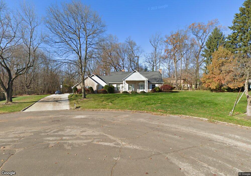
1067 Ashwood Dr Wooster, OH 44691
Estimated Value: $330,000 - $365,000
3
Beds
4
Baths
2,340
Sq Ft
$150/Sq Ft
Est. Value
About This Home
This home is located at 1067 Ashwood Dr, Wooster, OH 44691 and is currently estimated at $350,619, approximately $149 per square foot. 1067 Ashwood Dr is a home located in Wayne County with nearby schools including Parkview Elementary School, Edgewood Middle School, and Wooster High School.
Ownership History
Date
Name
Owned For
Owner Type
Purchase Details
Closed on
Apr 20, 2020
Sold by
Moritz John L
Bought by
Veney Robert J and Veney Debris J
Current Estimated Value
Home Financials for this Owner
Home Financials are based on the most recent Mortgage that was taken out on this home.
Original Mortgage
$157,600
Outstanding Balance
$109,429
Interest Rate
3.3%
Mortgage Type
New Conventional
Estimated Equity
$241,190
Purchase Details
Closed on
Sep 15, 2000
Sold by
Landes Verneil C
Bought by
Schafrath William T and Schafrath Nancy
Create a Home Valuation Report for This Property
The Home Valuation Report is an in-depth analysis detailing your home's value as well as a comparison with similar homes in the area
Home Values in the Area
Average Home Value in this Area
Purchase History
| Date | Buyer | Sale Price | Title Company |
|---|---|---|---|
| Veney Robert J | $197,000 | None Available | |
| Schafrath William T | $190,000 | -- |
Source: Public Records
Mortgage History
| Date | Status | Borrower | Loan Amount |
|---|---|---|---|
| Open | Veney Robert J | $157,600 |
Source: Public Records
Tax History Compared to Growth
Tax History
| Year | Tax Paid | Tax Assessment Tax Assessment Total Assessment is a certain percentage of the fair market value that is determined by local assessors to be the total taxable value of land and additions on the property. | Land | Improvement |
|---|---|---|---|---|
| 2024 | $4,407 | $106,290 | $16,070 | $90,220 |
| 2023 | $4,407 | $106,290 | $16,070 | $90,220 |
| 2022 | $4,192 | $80,520 | $12,170 | $68,350 |
| 2021 | $4,325 | $80,520 | $12,170 | $68,350 |
| 2020 | $3,655 | $80,520 | $12,170 | $68,350 |
| 2019 | $2,959 | $64,540 | $9,330 | $55,210 |
| 2018 | $2,968 | $64,540 | $9,330 | $55,210 |
| 2017 | $2,950 | $64,540 | $9,330 | $55,210 |
| 2016 | $3,063 | $62,060 | $8,970 | $53,090 |
| 2015 | $3,007 | $62,060 | $8,970 | $53,090 |
| 2014 | $3,008 | $62,060 | $8,970 | $53,090 |
| 2013 | $3,092 | $62,940 | $8,400 | $54,540 |
Source: Public Records
Map
Nearby Homes
- 1047 Ashwood Dr
- 1650 Carlin Trail
- 1627 Carlin Trail
- 1720 Carlin Trail
- Birch Plan at Clear Creek Run - Single Family Homes
- Aspen Plan at Clear Creek Run - Single Family Homes
- Tupelo Plan at Clear Creek Run - Single Family Homes
- Spruce Plan at Clear Creek Run - Single Family Homes
- Hazel Plan at Clear Creek Run - Single Family Homes
- 557 Oak Hill Rd
- 622 Northwestern Ave
- 758 Western Dr
- 1587 Saunders Dr
- 862 Marilyn Dr
- 636 Saybolt Ave
- 0 Eden
- 596 Meadow Ln
- 900 Quinby Ave
- 537 N Grant St
- 1960 Autumn Run
- 1070 Bucholz Dr
- 1078 Bucholz Dr
- 1062 Bucholz Dr
- 1087 Ashwood Dr
- 1062 Buchholz Dr
- 1086 Bucholz Dr
- 1054 Bucholz Dr
- 1052 Ashwood Dr
- 1088 Ashwood Dr
- 1195 Greens View Dr
- 1040 Bucholz Dr
- 1035 Ashwood Dr
- 1090 Ridgecrest Dr
- 1042 Ashwood Dr
- 1061 Buchholz Dr
- 1030 Ashwood Dr
- 1069 Bucholz Dr
- 1077 Bucholz Dr
- 1061 Bucholz Dr
- 1085 Bucholz Dr