1067 Eagles Brooke Dr Locust Grove, GA 30248
Estimated Value: $490,356 - $698,000
5
Beds
5
Baths
3,182
Sq Ft
$181/Sq Ft
Est. Value
About This Home
This home is located at 1067 Eagles Brooke Dr, Locust Grove, GA 30248 and is currently estimated at $576,589, approximately $181 per square foot. 1067 Eagles Brooke Dr is a home located in Henry County with nearby schools including Bethlehem Elementary School, Luella Middle School, and Luella High School.
Ownership History
Date
Name
Owned For
Owner Type
Purchase Details
Closed on
Mar 29, 2012
Sold by
Bank Of America Na
Bought by
Mcclendon Sandra
Current Estimated Value
Home Financials for this Owner
Home Financials are based on the most recent Mortgage that was taken out on this home.
Original Mortgage
$243,083
Outstanding Balance
$171,142
Interest Rate
4.4%
Mortgage Type
FHA
Estimated Equity
$405,447
Purchase Details
Closed on
Jul 5, 2011
Sold by
Howard William S
Bought by
Bank Of America
Create a Home Valuation Report for This Property
The Home Valuation Report is an in-depth analysis detailing your home's value as well as a comparison with similar homes in the area
Home Values in the Area
Average Home Value in this Area
Purchase History
| Date | Buyer | Sale Price | Title Company |
|---|---|---|---|
| Mcclendon Sandra | $251,900 | -- | |
| Bank Of America | $280,800 | -- |
Source: Public Records
Mortgage History
| Date | Status | Borrower | Loan Amount |
|---|---|---|---|
| Open | Mcclendon Sandra | $243,083 |
Source: Public Records
Tax History Compared to Growth
Tax History
| Year | Tax Paid | Tax Assessment Tax Assessment Total Assessment is a certain percentage of the fair market value that is determined by local assessors to be the total taxable value of land and additions on the property. | Land | Improvement |
|---|---|---|---|---|
| 2025 | $4,193 | $222,080 | $30,000 | $192,080 |
| 2024 | $4,193 | $210,640 | $30,000 | $180,640 |
| 2023 | $4,137 | $206,760 | $26,400 | $180,360 |
| 2022 | $3,958 | $177,800 | $22,000 | $155,800 |
| 2021 | $4,766 | $150,760 | $22,000 | $128,760 |
| 2020 | $4,631 | $145,040 | $17,600 | $127,440 |
| 2019 | $4,458 | $137,720 | $17,600 | $120,120 |
| 2018 | $4,748 | $133,400 | $17,600 | $115,800 |
| 2016 | $4,486 | $122,360 | $23,400 | $98,960 |
| 2015 | $4,444 | $118,040 | $18,200 | $99,840 |
| 2014 | $4,448 | $116,920 | $24,000 | $92,920 |
Source: Public Records
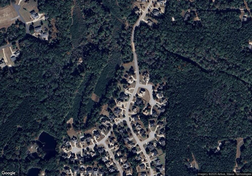
Map
Nearby Homes
- 1615 Avery Dr
- 1509 Royce Dr
- 1405 Landon Dr
- 4007 Madison Acres Dr
- 0 Lester Mill Rd Unit 10126503
- 783 Lester Mill Rd
- 980 Donegal Dr
- 705 Kenton Ct
- 1020 Eagles Brooke Dr
- 1276 McAllistar Dr
- 6013 Linda Way
- 51 Mallard Ln
- 1258 McAllistar Dr
- 129 Kenney Way
- 7004 Becca Ln
- Meridian II Plan at Kingston
- Wagener Plan at Kingston
- Lauren II Plan at Kingston
- 512 Dolce Rd
- Wynwood Plan at Kingston
- 1067 Eagles Brooke Dr Unit 4
- 1065 Eagles Brooke Dr
- 1069 Eagles Brooke Dr
- 1063 Eagles Brooke Dr
- 1066 Eagles Brooke Dr Unit 4
- 1064 Eagles Brooke Dr
- 1801 Reid Dr
- 1060 Eagles Brooke Dr Unit 4
- 1061 Eagles Brooke Dr
- 300 Meuse Ln
- 308 Meuse Ln
- 1806 Reid Dr Unit 4
- 1806 Reid Dr Unit 418
- 1602 Avery Dr
- 1058 Eagles Brooke Dr
- 1805 Reid Dr
- 1807 Reid Dr
- 1808 Reid Dr
- 1604 Avery Dr
- 1056 Eagles Brooke Dr